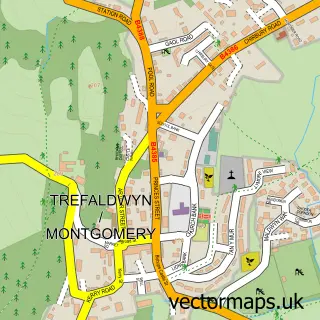
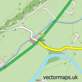
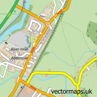
This Hendomen street map is a detailed vector street map covering a 750m x 750m area. Select a larger area to create and download your own vector street map of Hendomen.
The 750-metre map sample for Hendomen covers 53 mapped buildings and approximately 27.7 km of road detail. The immediate area includes 2 MOT stations within 2 miles. The wider area around Hendomen features 1 tourism point of interest. To create a larger or custom map of Hendomen, the map builder lets you define your own coverage area and download editable SVG, PDF and PNG files.
Create a larger editable map of Hendomen
Choose any area you need and generate a high-quality vector map instantly. Perfect for print, planning, design, business and personal use.

This Hendomen street map in Powys is available as downloadable SVG, PDF and PNG map files, or as a printed map for planning, business, display, education, local information and design work. You can also create a larger custom map area using the map selector.
What this Hendomen map sample shows
Hendomen lies within Montgomery Community parish, part of Montgomery ward in the Powys - Powys local authority area. The postcode geography for this area includes the SY postcode area, the SY15 postcode district and the SY15 6 postcode sector. Residents fall under the Powys Teaching Health Board for NHS services.
Local features near Hendomen
Within 2 milesAmenities and services in and around Hendomen.
Administrative and postcode information for Hendomen
Hendomen lies within Montgomery Community parish, part of Montgomery ward in the Powys - Powys local authority area. The postcode geography for this area includes the SY postcode area, the SY15 postcode district and the SY15 6 postcode sector. Residents fall under the Powys Teaching Health Board for NHS services.
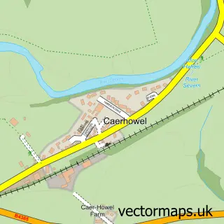
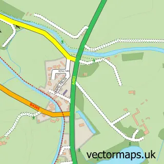
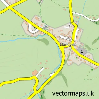
Nearby street map samples around Hendomen

More street maps in Powys
750 metre map area coverage
Boundary, postcode and point of interest information for the 750m x 750m rectangle centred on this sample map.
Boundaries containing map centre
Constituency: Montgomeryshire and Glyndwr Co Const
District: Powys - Powys
Icb: Powys Teaching
Parish: Montgomery Community
Police Force: dyfed-powys
Postcode District: SY15
Postcode Sector: SY15 6
Nearby boundaries intersecting sample
No additional intersecting boundaries found.
Postcode coverage
POI category counts
Beverage Store: 1
Castle: 1
Education: 1
Sample points of interest
- Quick Keg
- Hen Domen Mound and Bailey Castle
- Myrick Training Services
Create a larger editable map of Hendomen
This sample shows only a 750 metre area. To create a larger map of Hendomen, use our map builder to choose your own coverage area, add titles and download editable SVG, PDF and PNG files.
Create a custom map of Hendomen