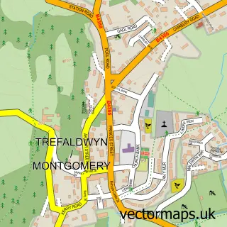
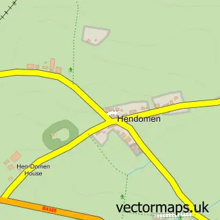
This Refail street map is a detailed vector street map covering a 750m x 750m area. Select a larger area to create and download your own vector street map of Refail.
The 750-metre map sample for Refail covers 73 mapped buildings and approximately 11.8 km of road detail, of which 2 named roads are named. The immediate area includes 1 MOT station within 2 miles. The wider area around Refail features 2 tourism points of interest. To create a larger or custom map of Refail, the map builder lets you define your own coverage area and download editable SVG, PDF and PNG files.
Create a larger editable map of Refail
Choose any area you need and generate a high-quality vector map instantly. Perfect for print, planning, design, business and personal use.

This Refail street map in Powys is available as downloadable SVG, PDF and PNG map files, or as a printed map for planning, business, display, education, local information and design work. You can also create a larger custom map area using the map selector.
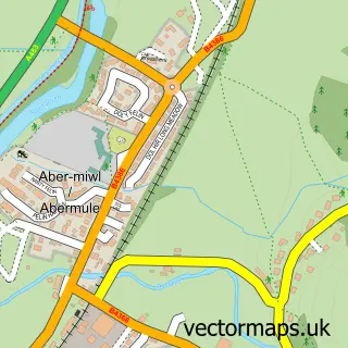
What this Refail map sample shows
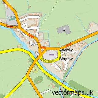
Refail lies within Berriew Community parish, part of Berriew ward in the Powys - Powys local authority area. The postcode geography for this area includes the SY postcode area, the SY15 postcode district and the SY15 6 postcode sector. Residents fall under the Powys Teaching Health Board for NHS services.
Local features near Refail
Within 2 milesAmenities and services in and around Refail.
Administrative and postcode information for Refail
Refail lies within Berriew Community parish, part of Berriew ward in the Powys - Powys local authority area. The postcode geography for this area includes the SY postcode area, the SY15 postcode district and the SY15 6 postcode sector. Residents fall under the Powys Teaching Health Board for NHS services.
Nearby street map samples around Refail

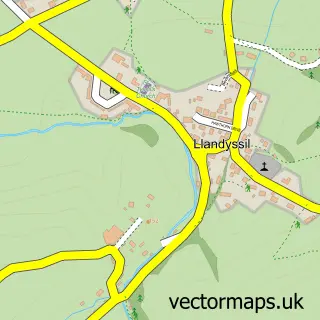
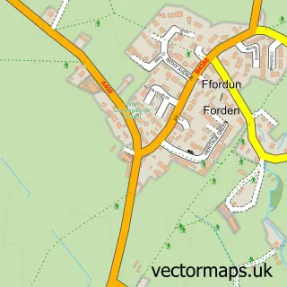
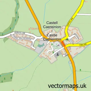
More street maps in Powys
750 metre map area coverage
Boundary, postcode and point of interest information for the 750m x 750m rectangle centred on this sample map.
Boundaries containing map centre
Constituency: Montgomeryshire and Glyndwr Co Const
District: Powys - Powys
Icb: Powys Teaching
Parish: Berriew Community
Police Force: dyfed-powys
Postcode District: SY21
Postcode Sector: SY21 8
Nearby boundaries intersecting sample
Postcode District: SY15
Postcode Sector: SY15 6
Postcode coverage
POI category counts
Dentist: 3
Park: 2
Designer Clothing: 1
Forestry Service: 1
General Dentistry: 1
Gift Shop: 1
Spas: 1
Sports Club And League: 1
Telecommunications Company: 1
Sample points of interest
- Dentistry At Glansevern
- Dentistry at Glansevern
- Dr Willie Jack
- Sporting Hares
- Ivor Davies Agri
- Yvonne Wood Dental Hygiene
- Silver Scenes
- Berriew Play Park
- Glansevern Hall Gardens
- St Rose - by Fern
- Berriew Football Club
- Sound and Vision Installations
Create a larger editable map of Refail
This sample shows only a 750 metre area. To create a larger map of Refail, use our map builder to choose your own coverage area, add titles and download editable SVG, PDF and PNG files.
Create a custom map of Refail