This Holsworthy street map is a detailed vector street map covering a 750m x 750m area. Select a larger area to create and download your own vector street map of Holsworthy.
The 750-metre map sample for Holsworthy covers 375 mapped buildings and approximately 15.2 km of road detail, of which 35 named roads are named. The immediate area includes 1 primary school and 1 secondary school, 1 GP surgery within 2 miles, 4 pubs and 5 MOT stations within 2 miles. The wider area around Holsworthy features 5 tourism points of interest, 10 food and drink venues and 2 hotels. To create a larger or custom map of Holsworthy, the map builder lets you define your own coverage area and download editable SVG, PDF and PNG files.
Create a larger editable map of Holsworthy
Choose any area you need and generate a high-quality vector map instantly. Perfect for print, planning, design, business and personal use.

This Holsworthy street map in Devon is available as downloadable SVG, PDF and PNG map files, or as a printed map for planning, business, display, education, local information and design work. You can also create a larger custom map area using the map selector.
What this Holsworthy map sample shows
Holsworthy lies within Holsworthy Cp parish, part of Holsworthy ward in the Torridge District local authority area. The postcode geography for this area includes the EX postcode area, the EX22 postcode district and the EX22 6 postcode sector. Residents fall under the Nhs Devon Integrated Care Board for NHS services.
Local features near Holsworthy
Within 2 milesAmenities and services in and around Holsworthy.
Administrative and postcode information for Holsworthy
Holsworthy lies within Holsworthy Cp parish, part of Holsworthy ward in the Torridge District local authority area. The postcode geography for this area includes the EX postcode area, the EX22 postcode district and the EX22 6 postcode sector. Residents fall under the Nhs Devon Integrated Care Board for NHS services.
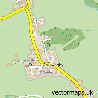
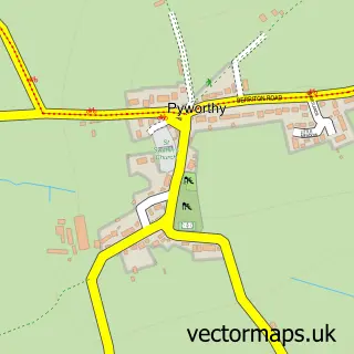
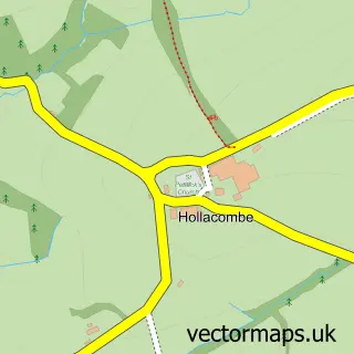
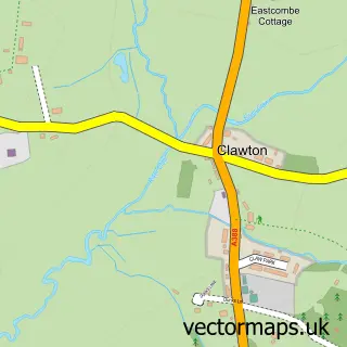
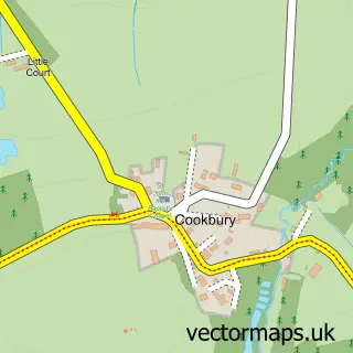
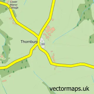
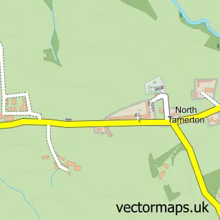
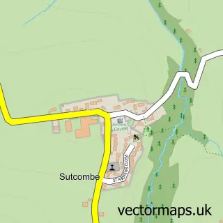
Nearby street map samples around Holsworthy

More street maps in Devon
750 metre map area coverage
Boundary, postcode and point of interest information for the 750m x 750m rectangle centred on this sample map.
Boundaries containing map centre
Constituency: Torridge and Tavistock Co Const
County: Devon County
District: Torridge District
Icb: NHS Devon ICB
Parish: Holsworthy CP
Police Force: devon and cornwall
Postcode District: EX22
Postcode Sector: EX22 6
Ward: Holsworthy Ward
Nearby boundaries intersecting sample
No additional intersecting boundaries found.
Postcode coverage
POI category counts
Beauty Salon: 9
Accountant: 6
Convenience Store: 6
Banks: 4
Pub: 4
Real Estate Agent: 4
Arts And Crafts: 3
Building Supply Store: 3
Church Cathedral: 3
Gas Station: 3
Sample points of interest
- AB Accountancy
- Azets - Accountants & Business Advisors
- JT Accountancy
- Simpkins Edwards Llp
- Thomas Westcott Holsworthy
- Westcotts Chartered Accountants & Business Advisers
- Holsworthy Football Club
- Alan Snow Agricultural Engineers
- S Cheers Agri Engineering
- Kempthorne Farm
- St Peter and St Paul, Holsworthy Parish Church
- Something Old Something New
Create a larger editable map of Holsworthy
This sample shows only a 750 metre area. To create a larger map of Holsworthy, use our map builder to choose your own coverage area, add titles and download editable SVG, PDF and PNG files.
Create a custom map of Holsworthy