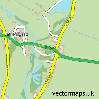
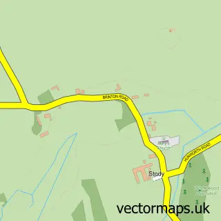
This Holt street map is a detailed vector street map covering a 750m x 750m area. Select a larger area to create and download your own vector street map of Holt.
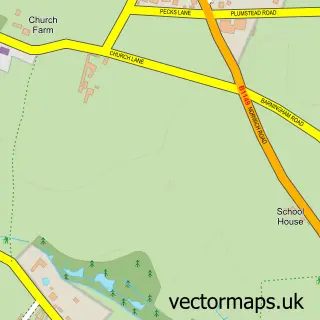
The 750-metre map sample for Holt covers 446 mapped buildings and approximately 20.4 km of road detail, of which 46 named roads are named. The immediate area includes 1 GP surgery within 2 miles, 5 pubs and 1 MOT station, with 2 within 2 miles. The wider area around Holt features 1 tourism point of interest, 15 food and drink venues and 5 hotels. To create a larger or custom map of Holt, the map builder lets you define your own coverage area and download editable SVG, PDF and PNG files.
Create a larger editable map of Holt
Choose any area you need and generate a high-quality vector map instantly. Perfect for print, planning, design, business and personal use.

This Holt street map in Norfolk is available as downloadable SVG, PDF and PNG map files, or as a printed map for planning, business, display, education, local information and design work. You can also create a larger custom map area using the map selector.
What this Holt map sample shows
Holt lies within Holt Cp parish, part of Holt ward in the North Norfolk District local authority area. The postcode geography for this area includes the NR postcode area, the NR25 postcode district and the NR25 6 postcode sector. Residents fall under the Nhs Norfolk And Waveney Integrated Care Board for NHS services.
Local features near Holt
Within 2 milesAmenities and services in and around Holt.
Administrative and postcode information for Holt
The local authority covering Holt is North Norfolk District, within the county of Norfolk. The settlement lies within Holt ward and Holt Cp civil parish. The NR25 postcode district and NR25 6 postcode sector serve the immediate area. NHS provision in the area is delivered through Norfolk And Norwich University Hospitals Nhs Foundation Trust.
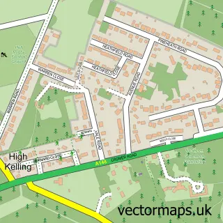
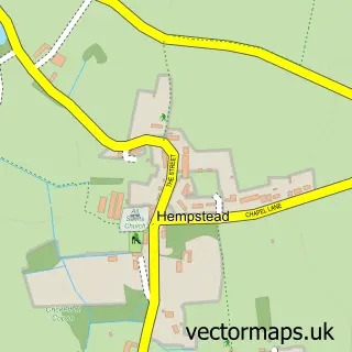
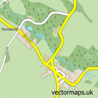
Nearby street map samples around Holt

More street maps in Norfolk
750 metre map area coverage
Boundary, postcode and point of interest information for the 750m x 750m rectangle centred on this sample map.
Boundaries containing map centre
Constituency: North Norfolk Co Const
County: Norfolk County
District: North Norfolk District
Icb: NHS Norfolk and Waveney ICB
Parish: Holt CP
Police Force: norfolk
Postcode District: NR25
Postcode Sector: NR25 6
Ward: Holt Ward
Nearby boundaries intersecting sample
No additional intersecting boundaries found.
Postcode coverage
POI category counts
Clothing Store: 12
Flowers And Gifts Shop: 11
Art Gallery: 10
Hair Salon: 10
Antique Store: 8
Beauty Salon: 6
Pet Store: 6
Womens Clothing Store: 6
Banks: 5
Cafe: 5
Sample points of interest
- The Profit Hero
- Hayes & Storr
- Hayes + Storr Solicitors
- Richard Lamb
- Cyan Commerce
- Holt Osteopaths
- Anthony Fell Antiques
- Break Charity Shop
- Paffron and Scott
- Past Caring
- Richard Scott Antiques
- Sarah Jane Reloved
Create a larger editable map of Holt
This sample shows only a 750 metre area. To create a larger map of Holt, use our map builder to choose your own coverage area, add titles and download editable SVG, PDF and PNG files.
Create a custom map of Holt