This Horley street map is a detailed vector street map covering a 750m x 750m area. Select a larger area to create and download your own vector street map of Horley.
The 750-metre map sample for Horley covers 128 mapped buildings and approximately 13.1 km of road detail, of which 5 named roads are named. The immediate area includes 2 pubs and 2 MOT stations within 2 miles. The wider area around Horley features 2 food and drink venues. To create a larger or custom map of Horley, the map builder lets you define your own coverage area and download editable SVG, PDF and PNG files.
Create a larger editable map of Horley
Choose any area you need and generate a high-quality vector map instantly. Perfect for print, planning, design, business and personal use.

This Horley street map in Oxfordshire is available as downloadable SVG, PDF and PNG map files, or as a printed map for planning, business, display, education, local information and design work. You can also create a larger custom map area using the map selector.
What this Horley map sample shows
Horley lies within Horley Cp parish, part of Cropredy, Sibfords And Wroxton ward in the Cherwell District local authority area. The postcode geography for this area includes the OX postcode area, the OX15 postcode district and the OX15 6 postcode sector. Residents fall under the Nhs Buckinghamshire, Oxfordshire And Berkshire West Integrated Care Board for NHS services.
Local features near Horley
Within 2 milesAmenities and services in and around Horley.
Administrative and postcode information for Horley
Horley lies within Horley Cp parish, part of Cropredy, Sibfords And Wroxton ward in the Cherwell District local authority area. The postcode geography for this area includes the OX postcode area, the OX15 postcode district and the OX15 6 postcode sector. Residents fall under the Nhs Buckinghamshire, Oxfordshire And Berkshire West Integrated Care Board for NHS services.
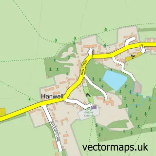
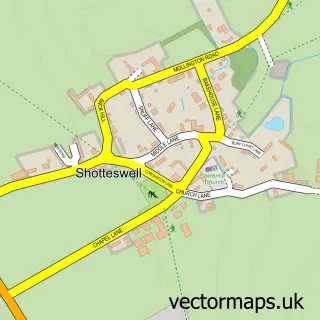
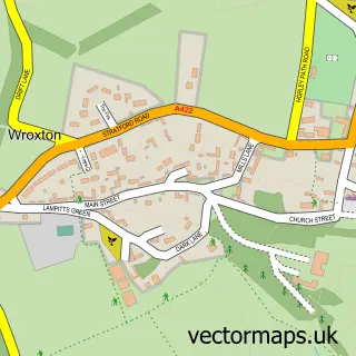
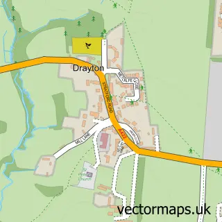
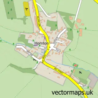
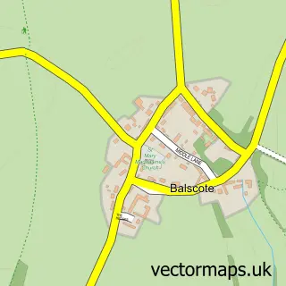
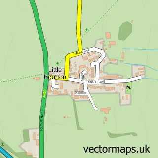
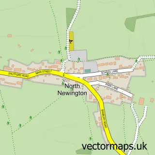
Nearby street map samples around Horley


More street maps in Oxfordshire
750 metre map area coverage
Boundary, postcode and point of interest information for the 750m x 750m rectangle centred on this sample map.
Boundaries containing map centre
Constituency: Banbury Co Const
County: Oxfordshire County
District: Cherwell District
Icb: NHS Thames Valley ICB
Parish: Horley CP
Police Force: thames valley
Postcode District: OX15
Postcode Sector: OX15 6
Ward: Cropredy, Sibfords & Wroxton Ward
Nearby boundaries intersecting sample
Postcode District: OX17
Postcode Sector: OX17 1
Postcode coverage
POI category counts
Building Supply Store: 2
Pub: 2
Anglican Church: 1
Church Cathedral: 1
Farm: 1
Fireplace Service: 1
Mortgage Broker: 1
Pet Groomer: 1
Photography Store And Services: 1
Real Estate Service: 1
Sample points of interest
- Horley: St Etheldreda
- Electrotech BMS
- SJL Services
- St Etheldredas Church
- Sor Brook House Farm Livery
- Sjl Stoves, Chimney And Fires Services
- Homestraight Mortgages
- Banbury Dog Grooming
- Fiona Baker Photography
- Red Lion
- The Red Lion
- Property Report Packs
Create a larger editable map of Horley
This sample shows only a 750 metre area. To create a larger map of Horley, use our map builder to choose your own coverage area, add titles and download editable SVG, PDF and PNG files.
Create a custom map of Horley