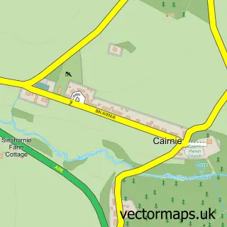
This Huntly street map is a detailed vector street map covering a 750m x 750m area. Select a larger area to create and download your own vector street map of Huntly.
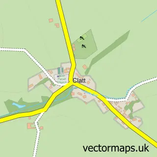
The 750-metre map sample for Huntly covers 588 mapped buildings and approximately 24.8 km of road detail, of which 53 named roads are named. The immediate area includes 1 GP surgery within 2 miles, 4 pubs and 1 MOT station, with 6 within 2 miles. The wider area around Huntly features 3 tourism points of interest, 6 food and drink venues and 5 hotels. To create a larger or custom map of Huntly, the map builder lets you define your own coverage area and download editable SVG, PDF and PNG files.
Create a larger editable map of Huntly
Choose any area you need and generate a high-quality vector map instantly. Perfect for print, planning, design, business and personal use.

This Huntly street map in Aberdeenshire is available as downloadable SVG, PDF and PNG map files, or as a printed map for planning, business, display, education, local information and design work. You can also create a larger custom map area using the map selector.
What this Huntly map sample shows
Huntly lies within Aberdeenshire parish, part of Huntly, Strathbogie And Howe Of Alford ward in the Aberdeenshire local authority area. The postcode geography for this area includes the AB postcode area, the AB54 postcode district and the AB54 8 postcode sector. Residents fall under the Grampian for NHS services.
Local features near Huntly
Within 2 milesAmenities and services in and around Huntly.
Administrative and postcode information for Huntly
The local authority covering Huntly is Aberdeenshire, within the county of Aberdeenshire. The settlement lies within Huntly, Strathbogie And Howe Of Alford ward and Aberdeenshire civil parish. The AB54 postcode district and AB54 8 postcode sector serve the immediate area. NHS provision in the area is delivered through Grampian.
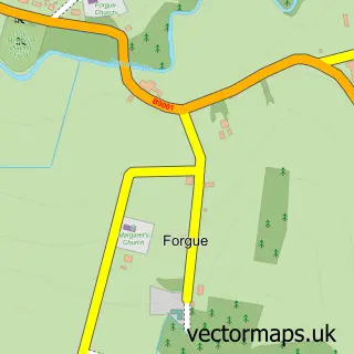
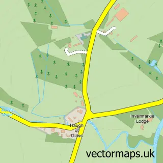
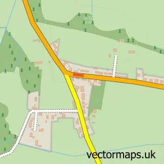
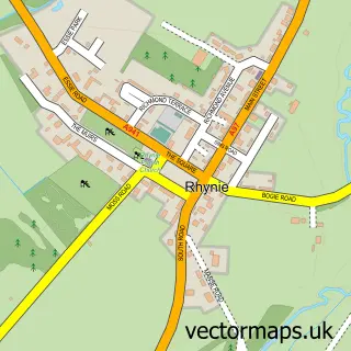
Nearby street map samples around Huntly

More street maps in Aberdeenshire
750 metre map area coverage
Boundary, postcode and point of interest information for the 750m x 750m rectangle centred on this sample map.
Boundaries containing map centre
Constituency: Gordon and Buchan Co Const
District: Aberdeenshire
Icb: Grampian
Postcode District: AB54
Postcode Sector: AB54 8
Ward: Huntly, Strathbogie and Howe of Alford Ward
Nearby boundaries intersecting sample
Postcode Sector: AB54 4
Postcode coverage
POI category counts
Charity Organization: 5
Hotel: 5
Beauty Salon: 4
Bed And Breakfast: 4
Community Services Non Profits: 4
Convenience Store: 4
Grocery Store: 4
Hair Salon: 4
Pub: 4
Banks: 3
Sample points of interest
- Harmony
- Douglas Heggie FINE ART
- The Huntly Gallery
- Dawn's Woodcraft Designs
- Deveron Arts
- Autospares of Huntly
- Barron Automotive
- J & I Smith
- Sinclairs Of Rhynie Ltd
- Bank of Scotland
- TSB Bank
- Barclays
Create a larger editable map of Huntly
This sample shows only a 750 metre area. To create a larger map of Huntly, use our map builder to choose your own coverage area, add titles and download editable SVG, PDF and PNG files.
Create a custom map of Huntly