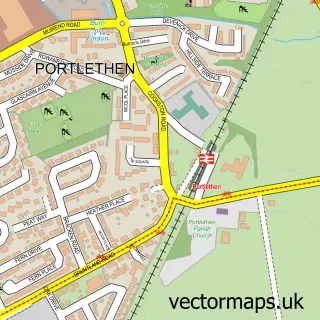
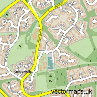
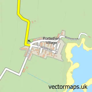
This Aberdeen street map is a detailed vector street map covering a 750m x 750m area. Select a larger area to create and download your own vector street map of Aberdeen.
The 750-metre map sample for Aberdeen covers 153 mapped buildings and approximately 27.2 km of road detail, of which 75 named roads are named. The immediate area includes 1 GP surgery, with 16 within 2 miles, 25 pubs and 1 MOT station, with 35 within 2 miles. The wider area around Aberdeen features 17 tourism points of interest, 58 food and drink venues and 21 hotels. To create a larger or custom map of Aberdeen, the map builder lets you define your own coverage area and download editable SVG, PDF and PNG files.
Create a larger editable map of Aberdeen
Choose any area you need and generate a high-quality vector map instantly. Perfect for print, planning, design, business and personal use.

This Aberdeen street map in City of Aberdeen is available as downloadable SVG, PDF and PNG map files, or as a printed map for planning, business, display, education, local information and design work. You can also create a larger custom map area using the map selector.
What this Aberdeen map sample shows
Aberdeen lies within Aberdeen City parish, part of Tillydrone/Seaton/Old Aberdeen ward in the Aberdeen City local authority area. The postcode geography for this area includes the AB postcode area, the AB24 postcode district and the AB24 3 postcode sector. Residents fall under the Grampian for NHS services.
Local features near Aberdeen
Within 2 milesAmenities and services in and around Aberdeen.
Administrative and postcode information for Aberdeen
Aberdeen lies within Aberdeen City parish, part of Tillydrone/Seaton/Old Aberdeen ward in the Aberdeen City local authority area. The postcode geography for this area includes the AB postcode area, the AB24 postcode district and the AB24 3 postcode sector. Residents fall under the Grampian for NHS services.
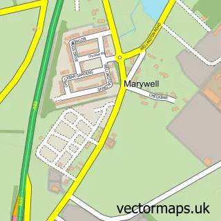
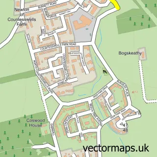
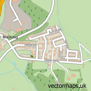
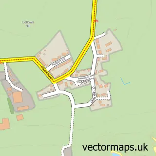
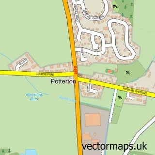
Nearby street map samples around Aberdeen
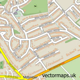
More street maps in City of Aberdeen
750 metre map area coverage
Boundary, postcode and point of interest information for the 750m x 750m rectangle centred on this sample map.
Boundaries containing map centre
Constituency: Aberdeen South Burgh Const
District: Aberdeen City
Icb: Grampian
Postcode District: AB11
Postcode Sector: AB11 5
Ward: George St/Harbour Ward
Nearby boundaries intersecting sample
Postcode District: AB10, AB24, AB25
Postcode Sector: AB10 1, AB11 6, AB24 5, AB25 1
Ward: Torry/Ferryhill Ward
Postcode coverage
POI category counts
Bar: 36
Pub: 25
Hotel: 20
Professional Services: 19
Church Cathedral: 15
Hair Salon: 14
Shoe Store: 14
Charity Organization: 12
Community Services Non Profits: 12
Mobile Phone Store: 12
Sample points of interest
- Daytripper Print & Design
- Micasa Aparthotel
- Scotland Aberdeen City Centre
- Bergen Associates
- KPMG
- Mint Accounting
- Aberdeen Muay Thai
- Trek & Climb Fitness
- Herbal Clinic
- Workers Educational Association
- Concept Promotional Merchandise
- Creative Core
Create a larger editable map of Aberdeen
This sample shows only a 750 metre area. To create a larger map of Aberdeen, use our map builder to choose your own coverage area, add titles and download editable SVG, PDF and PNG files.
Create a custom map of Aberdeen