This Milltimber street map is a detailed vector street map covering a 750m x 750m area. Select a larger area to create and download your own vector street map of Milltimber.
The 750-metre map sample for Milltimber covers 408 mapped buildings and approximately 16.4 km of road detail, of which 25 named roads are named. The immediate area includes 2 GP surgeries within 2 miles and 2 MOT stations within 2 miles. The wider area around Milltimber features 1 campsite within 2 miles. To create a larger or custom map of Milltimber, the map builder lets you define your own coverage area and download editable SVG, PDF and PNG files.
Create a larger editable map of Milltimber
Choose any area you need and generate a high-quality vector map instantly. Perfect for print, planning, design, business and personal use.

This Milltimber street map in City of Aberdeen is available as downloadable SVG, PDF and PNG map files, or as a printed map for planning, business, display, education, local information and design work. You can also create a larger custom map area using the map selector.
What this Milltimber map sample shows
Milltimber lies within Aberdeen City parish, part of Lower Deeside ward in the Aberdeen City local authority area. The postcode geography for this area includes the AB postcode area, the AB13 postcode district and the AB13 0 postcode sector. Residents fall under the Grampian for NHS services.
Local features near Milltimber
Within 2 milesAmenities and services in and around Milltimber.
Administrative and postcode information for Milltimber
Milltimber lies within Aberdeen City parish, part of Lower Deeside ward in the Aberdeen City local authority area. The postcode geography for this area includes the AB postcode area, the AB13 postcode district and the AB13 0 postcode sector. Residents fall under the Grampian for NHS services.
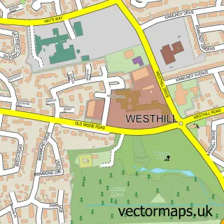
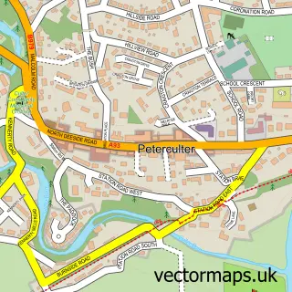
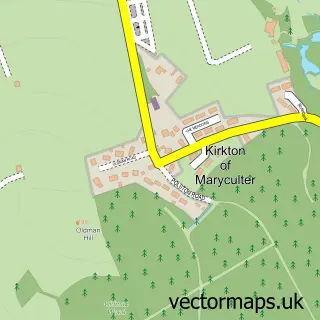
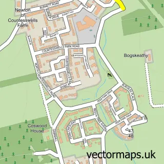
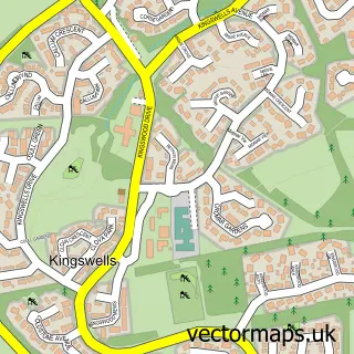
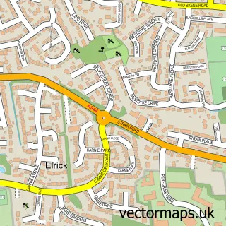
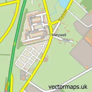
Nearby street map samples around Milltimber


More street maps in City of Aberdeen
750 metre map area coverage
Boundary, postcode and point of interest information for the 750m x 750m rectangle centred on this sample map.
Boundaries containing map centre
Constituency: Aberdeen South Burgh Const
District: Aberdeen City
Icb: Grampian
Postcode District: AB13
Postcode Sector: AB13 0
Ward: Lower Deeside Ward
Nearby boundaries intersecting sample
No additional intersecting boundaries found.
Postcode coverage
POI category counts
School: 2
Accountant: 1
Building Supply Store: 1
Car Dealer: 1
Charity Organization: 1
Chiropractor: 1
Church Cathedral: 1
Community Center: 1
Environmental Testing: 1
Flooring Contractors: 1
Sample points of interest
- Stephen Milne Chartered Management Accountants
- Garden Design Co
- AutoVation
- Anthroposophical Society
- LH Chiropractic
- Deeside Christian Fellowship Church
- Milltimber Community Hall
- Astell Associates
- Spotless Cleaning Co
- Eastland Foresters
- The Garden Design Company Scotland
- The Dog Shed
Create a larger editable map of Milltimber
This sample shows only a 750 metre area. To create a larger map of Milltimber, use our map builder to choose your own coverage area, add titles and download editable SVG, PDF and PNG files.
Create a custom map of Milltimber