Vector Maps logo
Home Why it works Popular maps Districts Samples Customizer Create Your Map
VectorMaps.uk
Home Popular maps Districts Samples Customizer Create Your Map Privacy Disclaimer
Home / UK Maps / Aberdeenshire / Drumoak Map

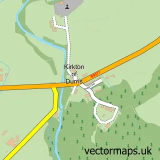
This Drumoak street map is a detailed vector street map covering a 750m x 750m area. Select a larger area to create and download your own vector street map of Drumoak.

Drumoak is a village in Aberdeenshire, in the North East Scotland of Scotland. The settlement falls within the West Aberdeenshire And Kincardine parliamentary constituency. It is served by the AB31 postcode district, with AB31 5 as the local postcode sect

The 750-metre map sample for Drumoak covers 171 mapped buildings and approximately 12.6 km of road detail, of which 12 named roads are named. The immediate area includes 1 MOT station within 2 miles. The wider area around Drumoak features 1 tourism point of interest. To create a larger or custom map of Drumoak, the map builder lets you define your own coverage area and download editable SVG, PDF and PNG files.

171Buildings
12.62 kmRoads
12Named roads
0Residents within 2 miles
Create your own

Create a larger editable map of Drumoak

Choose any area you need and generate a high-quality vector map instantly. Perfect for print, planning, design, business and personal use.

Choose any location
Editable SVG files
Any size up to A0
PDF, PNG & more
Instant download
High quality guaranteed
Create My Custom Map
Secure, private & no credit card required
Drumoak Vector Street Map
750m Sample
Drumoak vector street map sample showing roads, buildings and local features in a 750 metre preview area
Buy Drumoak Map Print from £12.95 Buy Drumoak Digital Map from £6

This Drumoak street map in Aberdeenshire is available as downloadable SVG, PDF and PNG map files, or as a printed map for planning, business, display, education, local information and design work. You can also create a larger custom map area using the map selector.

What this Drumoak map sample shows

Drumoak lies within Aberdeenshire parish, part of Stonehaven And Lower Deeside ward in the Aberdeenshire local authority area. The postcode geography for this area includes the AB postcode area, the AB31 postcode district and the AB31 5 postcode sector. Residents fall under the Grampian for NHS services.

Local features near Drumoak

Within 2 miles

Amenities and services in and around Drumoak.

1 MOT stations within 2 miles
1 Tourism & leisure

Counts are approximate and based on publicly available data.

Administrative and postcode information for Drumoak

The local authority covering Drumoak is Aberdeenshire, within the county of Aberdeenshire. The settlement lies within Stonehaven And Lower Deeside ward and Aberdeenshire civil parish. The AB31 postcode district and AB31 5 postcode sector serve the immediate area. NHS provision in the area is delivered through Grampian.

Parish ABERDEENSHIRE
Ward Stonehaven and Lower Deeside
District / local authority Aberdeenshire
County Aberdeenshire
Historic county Aberdeenshire
Postcode district AB31
Postcode sector AB31 5
Parliamentary constituency West Aberdeenshire and Kincardine
Region North East Scotland
Country Scotland

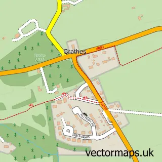
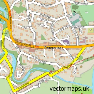
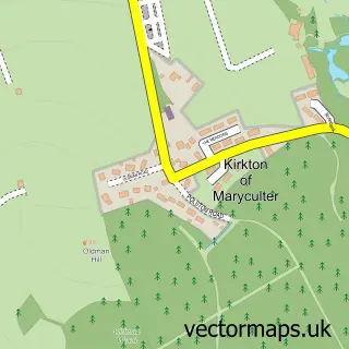
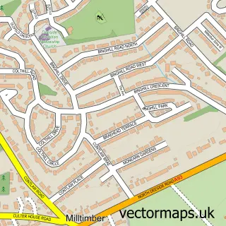
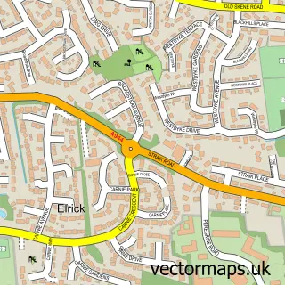
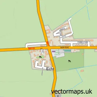
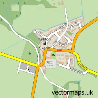
Nearby street map samples around Drumoak

Street map sample of Westhill, Aberdeenshire Westhill Town - Aberdeenshire - 5.7 miles Street map sample of Aberdeen, City of Aberdeen Aberdeen City - City of Aberdeen - 10.6 miles Street map sample of Park, Aberdeenshire Park Village - Aberdeenshire - 0.4 miles Street map sample of Woodlands of Durris, Kincardineshire Woodlands of Durris Village - Kincardineshire - 1.9 miles Street map sample of Kirkton of Durris, Kincardineshire Kirkton of Durris Village - Kincardineshire - 2.0 miles Street map sample of Crathes, Kincardineshire Crathes Village - Kincardineshire - 3.0 miles Street map sample of Peterculter, City of Aberdeen Peterculter Village - City of Aberdeen - 3.1 miles Street map sample of Kirkton of Maryculter, Kincardineshire Kirkton of Maryculter Village - Kincardineshire - 4.1 miles Street map sample of Garlogie, Aberdeenshire Garlogie Village - Aberdeenshire - 4.1 miles Street map sample of Milltimber, City of Aberdeen Milltimber Village - City of Aberdeen - 4.6 miles

More street maps in Aberdeenshire

Street map sample of Park, Aberdeenshire Park Village - 0.4 miles Street map sample of Garlogie, Aberdeenshire Garlogie Village - 4.1 miles Street map sample of Elrick, Aberdeenshire Elrick Village - 5.2 miles Street map sample of Echt, Aberdeenshire Echt Village - 5.4 miles Street map sample of Kirkton of Skene, Aberdeenshire Kirkton of Skene Village - 5.6 miles

750 metre map area coverage

Boundary, postcode and point of interest information for the 750m x 750m rectangle centred on this sample map.

Boundaries containing map centre

Constituency: West Aberdeenshire and Kincardine Co Const

District: Aberdeenshire

Icb: Grampian

Postcode District: AB31

Postcode Sector: AB31 5

Ward: Stonehaven and Lower Deeside Ward

Nearby boundaries intersecting sample

No additional intersecting boundaries found.

Postcode coverage

AB31 AB31 5

POI category counts

Contractor: 2

Forestry Service: 2

Bar: 1

Beauty Salon: 1

Home Cleaning: 1

Landscaping: 1

Park: 1

Post Office: 1

Recreational Vehicle Dealer: 1

School: 1

Sample points of interest

  • Drumoak, Durris And Crathes Bowling Club Bar
  • The Hair Hut Beauty Salon
  • Core Ground Developments Contractor
  • Grampian Pattern Pave Contractor
  • A & M Wight Forestry Service
  • Trees Are Us Forestry Service
  • MSL Commercial Cleaning Home Cleaning
  • Four Seasons Landscape Maintenance Landscaping
  • Park Bridge, Drumoak Park
  • Drumoak Post Office Post Office
  • Dee Valley Caravans Recreational Vehicle Dealer
  • Drumoak Primary School School

Create a larger editable map of Drumoak

This sample shows only a 750 metre area. To create a larger map of Drumoak, use our map builder to choose your own coverage area, add titles and download editable SVG, PDF and PNG files.

Create a custom map of Drumoak

Phone 01751 473136 | Copyright Vectormaps.uk 2026

Samples Customizer Privacy Disclaimer
Drumoak Vector Street Map
Drumoak enlarged street map sample showing a 750 metre preview area