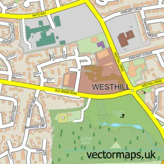
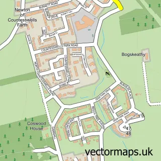
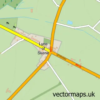
This Elrick street map is a detailed vector street map covering a 750m x 750m area. Select a larger area to create and download your own vector street map of Elrick.
The 750-metre map sample for Elrick covers 687 mapped buildings and approximately 20.5 km of road detail, of which 41 named roads are named. The immediate area includes 1 GP surgery within 2 miles and 2 MOT stations within 2 miles. The wider area around Elrick features 1 tourism point of interest and 2 hotels. To create a larger or custom map of Elrick, the map builder lets you define your own coverage area and download editable SVG, PDF and PNG files.
Create a larger editable map of Elrick
Choose any area you need and generate a high-quality vector map instantly. Perfect for print, planning, design, business and personal use.

This Elrick street map in Aberdeenshire is available as downloadable SVG, PDF and PNG map files, or as a printed map for planning, business, display, education, local information and design work. You can also create a larger custom map area using the map selector.
What this Elrick map sample shows
Elrick lies within Aberdeenshire parish, part of Westhill And District ward in the Aberdeenshire local authority area. The postcode geography for this area includes the AB postcode area, the AB32 postcode district and the AB32 6 postcode sector. Residents fall under the Grampian for NHS services.
Local features near Elrick
Within 2 milesAmenities and services in and around Elrick.
Administrative and postcode information for Elrick
Elrick lies within Aberdeenshire parish, part of Westhill And District ward in the Aberdeenshire local authority area. The postcode geography for this area includes the AB postcode area, the AB32 postcode district and the AB32 6 postcode sector. Residents fall under the Grampian for NHS services.
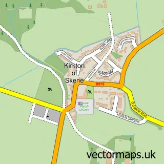
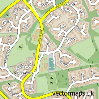
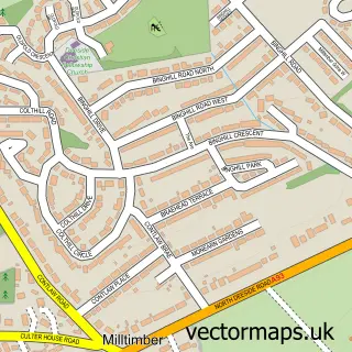
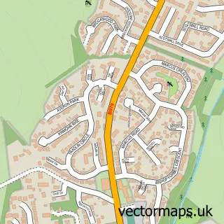
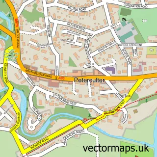
Nearby street map samples around Elrick

More street maps in Aberdeenshire
750 metre map area coverage
Boundary, postcode and point of interest information for the 750m x 750m rectangle centred on this sample map.
Boundaries containing map centre
Constituency: West Aberdeenshire and Kincardine Co Const
District: Aberdeenshire
Icb: Grampian
Postcode District: AB32
Postcode Sector: AB32 6
Ward: Westhill and District Ward
Nearby boundaries intersecting sample
No additional intersecting boundaries found.
Postcode coverage
POI category counts
Gym: 3
Business Manufacturing And Supply: 2
Driving School: 2
Educational Services: 2
Hotel: 2
Martial Arts Club: 2
Professional Services: 2
Bathroom Remodeling: 1
Beauty Salon: 1
Building Supply Store: 1
Sample points of interest
- Star Bathrooms
- Sparkle Nails by Ago
- Cameron Chisholm Dawson Partnership
- Fearnley UK Limited
- Tritech International Limited
- SPAR Westhill
- Banana Moon Day Nursery
- K-9 Til Five
- Drivetec
- L & A Driver Training
- A W Training Services & Consultancy
- Reg Garden Driving School
Create a larger editable map of Elrick
This sample shows only a 750 metre area. To create a larger map of Elrick, use our map builder to choose your own coverage area, add titles and download editable SVG, PDF and PNG files.
Create a custom map of Elrick