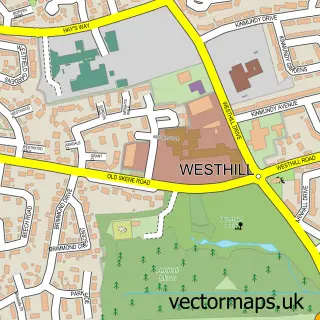
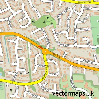
This Countesswells street map is a detailed vector street map covering a 750m x 750m area. Select a larger area to create and download your own vector street map of Countesswells.
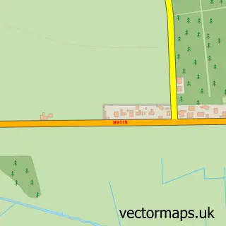
The 750-metre map sample for Countesswells covers 260 mapped buildings and approximately 12.9 km of road detail, of which 18 named roads are named. The immediate area includes 2 GP surgeries within 2 miles and 1 MOT station within 2 miles. To create a larger or custom map of Countesswells, the map builder lets you define your own coverage area and download editable SVG, PDF and PNG files.
Create a larger editable map of Countesswells
Choose any area you need and generate a high-quality vector map instantly. Perfect for print, planning, design, business and personal use.

This Countesswells street map in City of Aberdeen is available as downloadable SVG, PDF and PNG map files, or as a printed map for planning, business, display, education, local information and design work. You can also create a larger custom map area using the map selector.
What this Countesswells map sample shows
Countesswells lies within Aberdeen City parish, part of Lower Deeside ward in the Aberdeen City local authority area. The postcode geography for this area includes the AB postcode area, the AB15 postcode district and the AB15 8 postcode sector. Residents fall under the Grampian for NHS services.
Local features near Countesswells
Within 2 milesAmenities and services in and around Countesswells.
Administrative and postcode information for Countesswells
Countesswells lies within Aberdeen City parish, part of Lower Deeside ward in the Aberdeen City local authority area. The postcode geography for this area includes the AB postcode area, the AB15 postcode district and the AB15 8 postcode sector. Residents fall under the Grampian for NHS services.
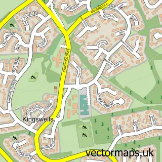
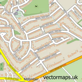
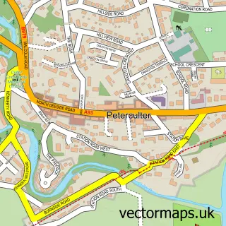
Nearby street map samples around Countesswells

More street maps in City of Aberdeen
750 metre map area coverage
Boundary, postcode and point of interest information for the 750m x 750m rectangle centred on this sample map.
Boundaries containing map centre
Constituency: Aberdeen South Burgh Const
District: Aberdeen City
Icb: Grampian
Postcode District: AB15
Postcode Sector: AB15 8
Ward: Hazlehead/Queens Cross/Countesswells Ward
Nearby boundaries intersecting sample
Postcode Sector: AB15 9
Ward: Lower Deeside Ward
Postcode coverage
POI category counts
Web Designer: 2
Convenience Store: 1
Gardener: 1
General Dentistry: 1
Home Developer: 1
Nature Reserve: 1
Parking: 1
Religious Organization: 1
Supermarket: 1
Sample points of interest
- Sainsbury's Local
- Bloomin Grass Garden Maintenance
- Countesswells Dental Practice
- David Wilson Homes - David Wilson @ Countesswells
- Countesswells
- Countesswells
- Deeper Christian Life Ministry, Aberdeen UK
- Sainsbury's Local
- Gillian Sarah
- Weblavida Ltd
Create a larger editable map of Countesswells
This sample shows only a 750 metre area. To create a larger map of Countesswells, use our map builder to choose your own coverage area, add titles and download editable SVG, PDF and PNG files.
Create a custom map of Countesswells