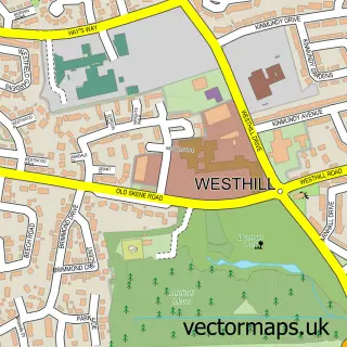
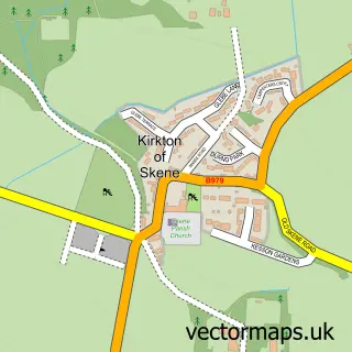
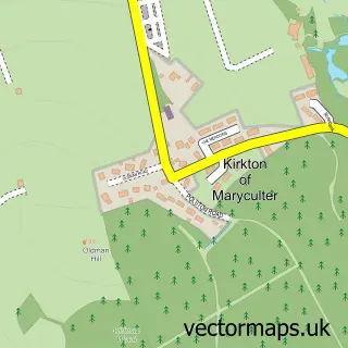
This Kingswells street map is a detailed vector street map covering a 750m x 750m area. Select a larger area to create and download your own vector street map of Kingswells.
The 750-metre map sample for Kingswells covers 465 mapped buildings and approximately 18.7 km of road detail, of which 36 named roads are named. The immediate area includes 1 GP surgery and 1 MOT station within 2 miles. The wider area around Kingswells features 1 food and drink venue. To create a larger or custom map of Kingswells, the map builder lets you define your own coverage area and download editable SVG, PDF and PNG files.
Create a larger editable map of Kingswells
Choose any area you need and generate a high-quality vector map instantly. Perfect for print, planning, design, business and personal use.

This Kingswells street map in City of Aberdeen is available as downloadable SVG, PDF and PNG map files, or as a printed map for planning, business, display, education, local information and design work. You can also create a larger custom map area using the map selector.
What this Kingswells map sample shows
Kingswells lies within Aberdeen City parish, part of Kingswells/Sheddocksley/Summerhill ward in the Aberdeen City local authority area. The postcode geography for this area includes the AB postcode area, the AB15 postcode district and the AB15 8 postcode sector. Residents fall under the Grampian for NHS services.
Local features near Kingswells
Within 2 milesAmenities and services in and around Kingswells.
Administrative and postcode information for Kingswells
The local authority covering Kingswells is Aberdeen City, within the county of City Of Aberdeen. The settlement lies within Kingswells/Sheddocksley/Summerhill ward and Aberdeen City civil parish. The AB15 postcode district and AB15 8 postcode sector serve the immediate area. NHS provision in the area is delivered through Grampian.
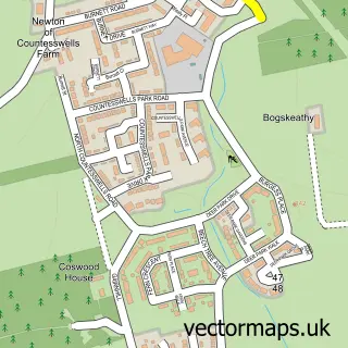
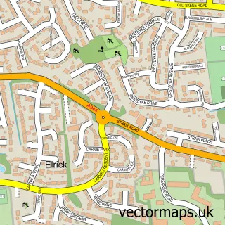
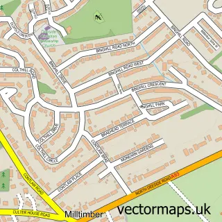
Nearby street map samples around Kingswells

More street maps in City of Aberdeen
750 metre map area coverage
Boundary, postcode and point of interest information for the 750m x 750m rectangle centred on this sample map.
Boundaries containing map centre
Constituency: Aberdeen North Burgh Const
District: Aberdeen City
Icb: Grampian
Postcode District: AB15
Postcode Sector: AB15 8
Ward: Kingswells/Sheddocksley/Summerhill Ward
Nearby boundaries intersecting sample
No additional intersecting boundaries found.
Postcode coverage
POI category counts
Community Center: 2
Doctor: 2
Nail Salon: 2
Pharmacy: 2
Assisted Living Facility: 1
Atms: 1
Automotive: 1
Beauty Salon: 1
Chinese Restaurant: 1
Coffee Shop: 1
Sample points of interest
- Kingsmead Nursing Home
- The Cooperative Food (BF) Kingswells, Kingswells
- Granite City Car Hire Ltd
- Perfect Beauty
- Bill's Wok Inn
- Cafe Amore
- Kingswells Community Centre
- Kingswells Community Centre
- Co-op
- Kingswells Medical Practice
- Kingswells Medical Practice
- Chinos Kebab House Kingswell
Create a larger editable map of Kingswells
This sample shows only a 750 metre area. To create a larger map of Kingswells, use our map builder to choose your own coverage area, add titles and download editable SVG, PDF and PNG files.
Create a custom map of Kingswells