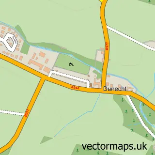
This Blackburn street map is a detailed vector street map covering a 750m x 750m area. Select a larger area to create and download your own vector street map of Blackburn.
The 750-metre map sample for Blackburn covers 555 mapped buildings and approximately 14.3 km of road detail, of which 33 named roads are named. The immediate area includes 2 MOT stations within 2 miles. To create a larger or custom map of Blackburn, the map builder lets you define your own coverage area and download editable SVG, PDF and PNG files.
Create a larger editable map of Blackburn
Choose any area you need and generate a high-quality vector map instantly. Perfect for print, planning, design, business and personal use.

This Blackburn street map in Aberdeenshire is available as downloadable SVG, PDF and PNG map files, or as a printed map for planning, business, display, education, local information and design work. You can also create a larger custom map area using the map selector.
What this Blackburn map sample shows
Blackburn lies within Aberdeenshire parish, part of East Garioch ward in the Aberdeenshire local authority area. The postcode geography for this area includes the AB postcode area, the AB21 postcode district and the AB21 0 postcode sector. Residents fall under the Grampian for NHS services.
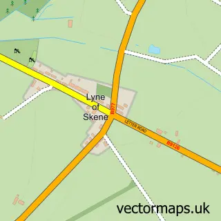
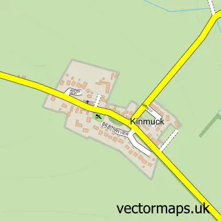
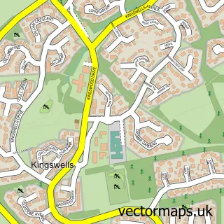
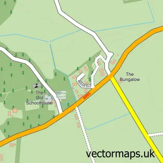
Local features near Blackburn
Within 2 milesAmenities and services in and around Blackburn.
Administrative and postcode information for Blackburn
Blackburn lies within Aberdeenshire parish, part of East Garioch ward in the Aberdeenshire local authority area. The postcode geography for this area includes the AB postcode area, the AB21 postcode district and the AB21 0 postcode sector. Residents fall under the Grampian for NHS services.
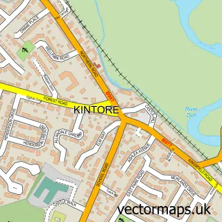
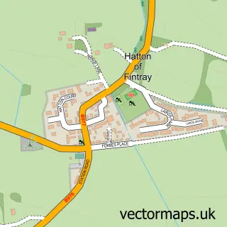
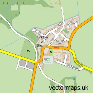
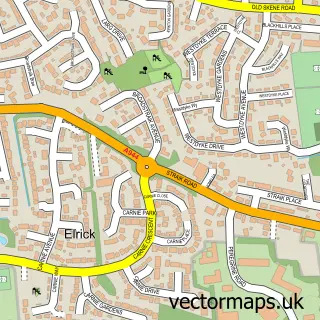
Nearby street map samples around Blackburn

More street maps in Aberdeenshire
750 metre map area coverage
Boundary, postcode and point of interest information for the 750m x 750m rectangle centred on this sample map.
Boundaries containing map centre
Constituency: West Aberdeenshire and Kincardine Co Const
District: Aberdeenshire
Icb: Grampian
Postcode District: AB21
Postcode Sector: AB21 0
Ward: East Garioch Ward
Nearby boundaries intersecting sample
No additional intersecting boundaries found.
Postcode coverage
POI category counts
Arts And Entertainment: 1
Auto Electrical Repair: 1
Boxing Class: 1
Business Management Services: 1
Carpenter: 1
Community Center: 1
Construction Services: 1
Contractor: 1
Education: 1
Electronics: 1
Sample points of interest
- One Two Many
- Electro Tek
- Gears Boxing Academy
- Business Fitness Solutions
- Iain Gordon Joinery Services
- Kinellar Community Hall
- Denmore Joinery Ltd
- Brian Moir Joinery Services
- Grampian Driver Training
- Aberdeen Wall Mounts
- Kinellar Primary School
- Drillex
Create a larger editable map of Blackburn
This sample shows only a 750 metre area. To create a larger map of Blackburn, use our map builder to choose your own coverage area, add titles and download editable SVG, PDF and PNG files.
Create a custom map of Blackburn