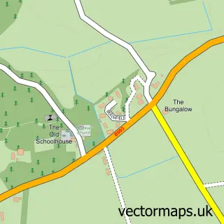
This Hatton of Fintray street map is a detailed vector street map covering a 750m x 750m area. Select a larger area to create and download your own vector street map of Hatton of Fintray.
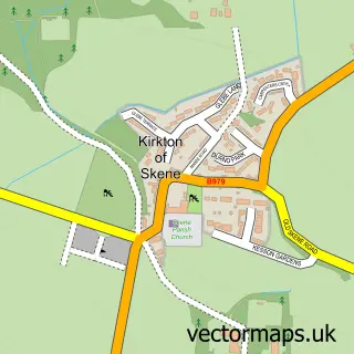
The 750-metre map sample for Hatton of Fintray covers 120 mapped buildings and approximately 9.6 km of road detail, of which 7 named roads are named. The immediate area includes 1 pub. The wider area around Hatton of Fintray features 1 tourism point of interest and 1 food and drink venue. To create a larger or custom map of Hatton of Fintray, the map builder lets you define your own coverage area and download editable SVG, PDF and PNG files.
Create a larger editable map of Hatton of Fintray
Choose any area you need and generate a high-quality vector map instantly. Perfect for print, planning, design, business and personal use.

This Hatton of Fintray street map in Aberdeenshire is available as downloadable SVG, PDF and PNG map files, or as a printed map for planning, business, display, education, local information and design work. You can also create a larger custom map area using the map selector.
What this Hatton of Fintray map sample shows
Hatton of Fintray lies within Aberdeenshire parish, part of East Garioch ward in the Aberdeenshire local authority area. The postcode geography for this area includes the AB postcode area, the AB21 postcode district and the AB21 0 postcode sector. Residents fall under the Grampian for NHS services.
Local features near Hatton of Fintray
Within 2 milesAmenities and services in and around Hatton of Fintray.
Administrative and postcode information for Hatton of Fintray
The local authority covering Hatton of Fintray is Aberdeenshire, within the county of Aberdeenshire. The settlement lies within East Garioch ward and Aberdeenshire civil parish. The AB21 postcode district and AB21 0 postcode sector serve the immediate area. NHS provision in the area is delivered through Grampian.
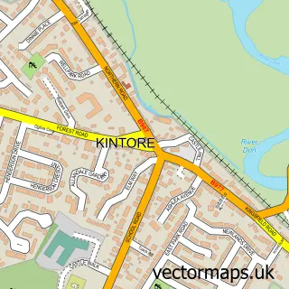
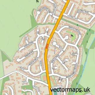
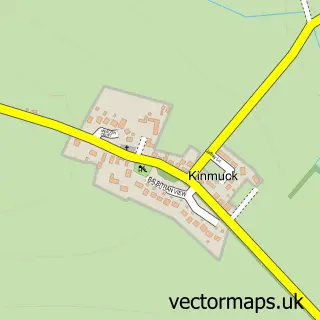
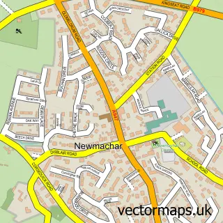
Nearby street map samples around Hatton of Fintray

More street maps in Aberdeenshire
750 metre map area coverage
Boundary, postcode and point of interest information for the 750m x 750m rectangle centred on this sample map.
Boundaries containing map centre
Constituency: Gordon and Buchan Co Const
District: Aberdeenshire
Icb: Grampian
Postcode District: AB21
Postcode Sector: AB21 0
Ward: East Garioch Ward
Nearby boundaries intersecting sample
No additional intersecting boundaries found.
Postcode coverage
POI category counts
Window Supplier: 2
Auto Detailing: 1
Church Cathedral: 1
Elementary School: 1
Park: 1
Pub: 1
Town Hall: 1
Sample points of interest
- OCD'tailing
- Fintray Kinellar Keithhall Parish Church
- Hatton of Fintray School
- Lairds Park, Hatton of Fintray
- Northern Lights
- Hatton of Fintray Village Hall
- Distinctive Stained Glass
- Jennifer - Jane Stained Glass
Create a larger editable map of Hatton of Fintray
This sample shows only a 750 metre area. To create a larger map of Hatton of Fintray, use our map builder to choose your own coverage area, add titles and download editable SVG, PDF and PNG files.
Create a custom map of Hatton of Fintray