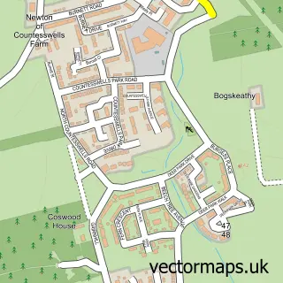
This Kirkton of Maryculter street map is a detailed vector street map covering a 750m x 750m area. Select a larger area to create and download your own vector street map of Kirkton of Maryculter.
The 750-metre map sample for Kirkton of Maryculter covers 46 mapped buildings and approximately 4.8 km of road detail, of which 4 named roads are named. The immediate area includes 2 GP surgeries within 2 miles and 1 MOT station within 2 miles. The wider area around Kirkton of Maryculter features 2 tourism points of interest and 1 campsite within 2 miles. To create a larger or custom map of Kirkton of Maryculter, the map builder lets you define your own coverage area and download editable SVG, PDF and PNG files.
Create a larger editable map of Kirkton of Maryculter
Choose any area you need and generate a high-quality vector map instantly. Perfect for print, planning, design, business and personal use.

This Kirkton of Maryculter street map in Kincardineshire is available as downloadable SVG, PDF and PNG map files, or as a printed map for planning, business, display, education, local information and design work. You can also create a larger custom map area using the map selector.
What this Kirkton of Maryculter map sample shows
Kirkton of Maryculter lies within Aberdeenshire parish, part of North Kincardine ward in the Aberdeenshire local authority area. The postcode geography for this area includes the AB postcode area, the AB12 postcode district and the AB12 5 postcode sector. Residents fall under the Grampian for NHS services.
Local features near Kirkton of Maryculter
Within 2 milesAmenities and services in and around Kirkton of Maryculter.
Administrative and postcode information for Kirkton of Maryculter
Kirkton of Maryculter lies within Aberdeenshire parish, part of North Kincardine ward in the Aberdeenshire local authority area. The postcode geography for this area includes the AB postcode area, the AB12 postcode district and the AB12 5 postcode sector. Residents fall under the Grampian for NHS services.
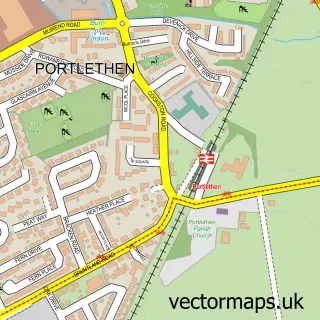
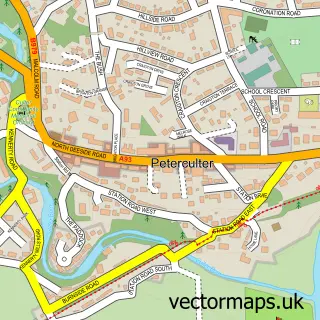
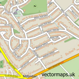
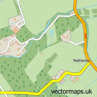
Nearby street map samples around Kirkton of Maryculter


More street maps in Kincardineshire
750 metre map area coverage
Boundary, postcode and point of interest information for the 750m x 750m rectangle centred on this sample map.
Boundaries containing map centre
Constituency: West Aberdeenshire and Kincardine Co Const
District: Aberdeenshire
Icb: Grampian
Postcode District: AB12
Postcode Sector: AB12 5
Ward: North Kincardine Ward
Nearby boundaries intersecting sample
No additional intersecting boundaries found.
Postcode coverage
POI category counts
Amusement Park: 2
Agriculture: 1
Catholic Church: 1
Church Cathedral: 1
Environmental And Ecological Services For Businesses: 1
Hvac Services: 1
Indoor Playcenter: 1
Landscaping: 1
Scout Hall: 1
Tree Services: 1
Sample points of interest
- The Blaikiewell Animal Sanctuary
- The Den & The Glen
- The Den & The Glen
- Maryculter Trinity
- Maryculter Parish Church
- Astell Associates
- DM Plumbing & Heating Services
- Story Book Glen
- Ian Anderson Garden Design
- 1st Maryculter
- Eastland Foresters Ltd
- 1st Maryculter Scouts
Create a larger editable map of Kirkton of Maryculter
This sample shows only a 750 metre area. To create a larger map of Kirkton of Maryculter, use our map builder to choose your own coverage area, add titles and download editable SVG, PDF and PNG files.
Create a custom map of Kirkton of Maryculter