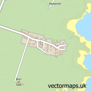
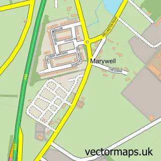
This Chapelton of Elsick street map is a detailed vector street map covering a 750m x 750m area. Select a larger area to create and download your own vector street map of Chapelton of Elsick.
The 750-metre map sample for Chapelton of Elsick covers 221 mapped buildings and approximately 12.3 km of road detail, of which 24 named roads are named. The wider area around Chapelton of Elsick features 1 tourism point of interest and 2 food and drink venues. To create a larger or custom map of Chapelton of Elsick, the map builder lets you define your own coverage area and download editable SVG, PDF and PNG files.
Create a larger editable map of Chapelton of Elsick
Choose any area you need and generate a high-quality vector map instantly. Perfect for print, planning, design, business and personal use.

This Chapelton of Elsick street map in Kincardineshire is available as downloadable SVG, PDF and PNG map files, or as a printed map for planning, business, display, education, local information and design work. You can also create a larger custom map area using the map selector.
What this Chapelton of Elsick map sample shows
Chapelton of Elsick lies within Aberdeenshire parish, part of North Kincardine ward in the Aberdeenshire local authority area. The postcode geography for this area includes the AB postcode area, the AB39 postcode district and the AB39 3 postcode sector. Residents fall under the Grampian for NHS services.
Local features near Chapelton of Elsick
Within 2 milesAmenities and services in and around Chapelton of Elsick.
Administrative and postcode information for Chapelton of Elsick
Chapelton of Elsick lies within Aberdeenshire parish, part of North Kincardine ward in the Aberdeenshire local authority area. The postcode geography for this area includes the AB postcode area, the AB39 postcode district and the AB39 3 postcode sector. Residents fall under the Grampian for NHS services.
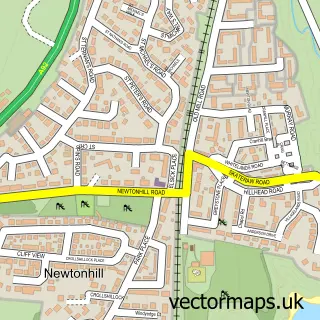
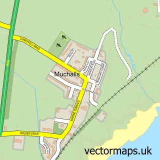
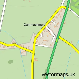
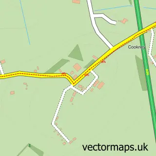
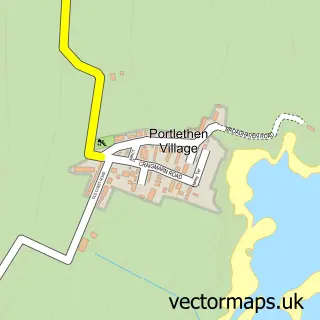
Nearby street map samples around Chapelton of Elsick

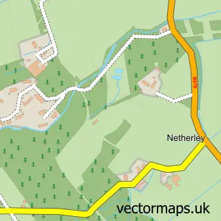
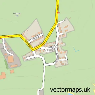
More street maps in Kincardineshire
750 metre map area coverage
Boundary, postcode and point of interest information for the 750m x 750m rectangle centred on this sample map.
Boundaries containing map centre
Constituency: West Aberdeenshire and Kincardine Co Const
District: Aberdeenshire
Icb: Grampian
Postcode District: AB39
Postcode Sector: AB39 3
Ward: North Kincardine Ward
Nearby boundaries intersecting sample
No additional intersecting boundaries found.
Postcode coverage
POI category counts
Beauty Salon: 1
Builders: 1
Cafe: 1
Dog Walkers: 1
Ev Charging Station: 1
Home Developer: 1
Home Goods Store: 1
Ice Cream Shop: 1
Jewelry Store: 1
Landmark And Historical Building: 1
Sample points of interest
- The Lounge at Chapelton
- Places for People - Chapelton
- Brae at Chapelton
- Long Dog Walkies
- bp Pulse
- Chapleton
- The Omnia Chapelton
- Fits the Scoop Chapelton
- Redrocks
- Chapelton, Aberdeenshire
- The Gatehouse Taproom & Bottle Shop
- Kelly Daun Makeup Artist
Create a larger editable map of Chapelton of Elsick
This sample shows only a 750 metre area. To create a larger map of Chapelton of Elsick, use our map builder to choose your own coverage area, add titles and download editable SVG, PDF and PNG files.
Create a custom map of Chapelton of Elsick