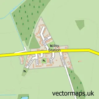
This Balmedie street map is a detailed vector street map covering a 750m x 750m area. Select a larger area to create and download your own vector street map of Balmedie.
The 750-metre map sample for Balmedie covers 377 mapped buildings and approximately 22.1 km of road detail, of which 32 named roads are named. The immediate area includes 2 MOT stations within 2 miles. The wider area around Balmedie features 2 food and drink venues. To create a larger or custom map of Balmedie, the map builder lets you define your own coverage area and download editable SVG, PDF and PNG files.
Create a larger editable map of Balmedie
Choose any area you need and generate a high-quality vector map instantly. Perfect for print, planning, design, business and personal use.

This Balmedie street map in Aberdeenshire is available as downloadable SVG, PDF and PNG map files, or as a printed map for planning, business, display, education, local information and design work. You can also create a larger custom map area using the map selector.
What this Balmedie map sample shows
Balmedie lies within Aberdeenshire parish, part of Mid Formartine ward in the Aberdeenshire local authority area. The postcode geography for this area includes the AB postcode area, the AB23 postcode district and the AB23 8 postcode sector. Residents fall under the Grampian for NHS services.
Local features near Balmedie
Within 2 milesAmenities and services in and around Balmedie.
Administrative and postcode information for Balmedie
The local authority covering Balmedie is Aberdeenshire, within the county of Aberdeenshire. The settlement lies within Mid Formartine ward and Aberdeenshire civil parish. The AB23 postcode district and AB23 8 postcode sector serve the immediate area. NHS provision in the area is delivered through Grampian.
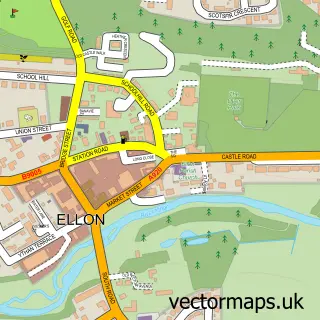
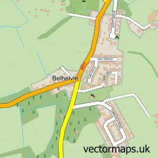
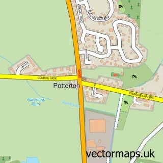
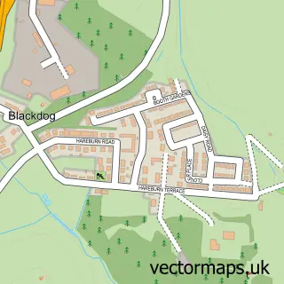
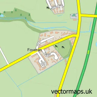
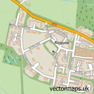
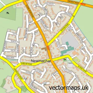
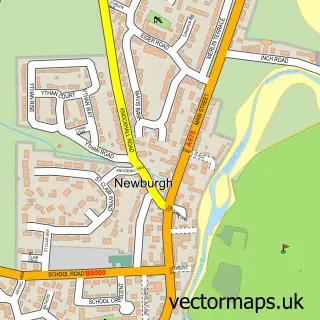
Nearby street map samples around Balmedie

More street maps in Aberdeenshire
750 metre map area coverage
Boundary, postcode and point of interest information for the 750m x 750m rectangle centred on this sample map.
Boundaries containing map centre
Constituency: Gordon and Buchan Co Const
District: Aberdeenshire
Icb: Grampian
Postcode District: AB23
Postcode Sector: AB23 8
Ward: Mid Formartine Ward
Nearby boundaries intersecting sample
No additional intersecting boundaries found.
Postcode coverage
POI category counts
Active Life: 2
Beauty Salon: 2
Drugstore: 2
Atms: 1
Barber: 1
Cafe: 1
Charity Organization: 1
Convenience Store: 1
Corporate Entertainment Services: 1
Driving School: 1
Sample points of interest
- Aberdeen Shooting School
- Orrock Livery Balmedie
- The Cooperative Food (BF) Balmedie, Balmedie
- The Back Yard Barber
- Alexa's Nails and Beauty
- Hair & Beauty By Nadia
- Beachside Coffee Shop
- Balmedie Hub
- Co-op
- Love Rara
- Aberdeen Training Services
- Balmedie Pharmacy
Create a larger editable map of Balmedie
This sample shows only a 750 metre area. To create a larger map of Balmedie, use our map builder to choose your own coverage area, add titles and download editable SVG, PDF and PNG files.
Create a custom map of Balmedie