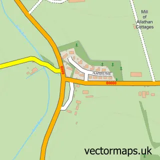
This Ellon street map is a detailed vector street map covering a 750m x 750m area. Select a larger area to create and download your own vector street map of Ellon.
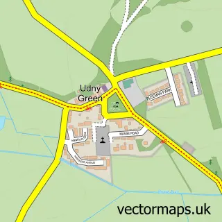
The 750-metre map sample for Ellon covers 226 mapped buildings and approximately 11.9 km of road detail, of which 22 named roads are named. The immediate area includes 1 GP surgery, 2 pubs and 1 MOT station, with 3 within 2 miles. The wider area around Ellon features 3 tourism points of interest, 14 food and drink venues and 2 hotels. To create a larger or custom map of Ellon, the map builder lets you define your own coverage area and download editable SVG, PDF and PNG files.
Create a larger editable map of Ellon
Choose any area you need and generate a high-quality vector map instantly. Perfect for print, planning, design, business and personal use.

This Ellon street map in Aberdeenshire is available as downloadable SVG, PDF and PNG map files, or as a printed map for planning, business, display, education, local information and design work. You can also create a larger custom map area using the map selector.
What this Ellon map sample shows
Ellon lies within Aberdeenshire parish, part of Ellon And District ward in the Aberdeenshire local authority area. The postcode geography for this area includes the AB postcode area, the AB41 postcode district and the AB41 9 postcode sector. Residents fall under the Grampian for NHS services.
Local features near Ellon
Within 2 milesAmenities and services in and around Ellon.
Administrative and postcode information for Ellon
Ellon lies within Aberdeenshire parish, part of Ellon And District ward in the Aberdeenshire local authority area. The postcode geography for this area includes the AB postcode area, the AB41 postcode district and the AB41 9 postcode sector. Residents fall under the Grampian for NHS services.
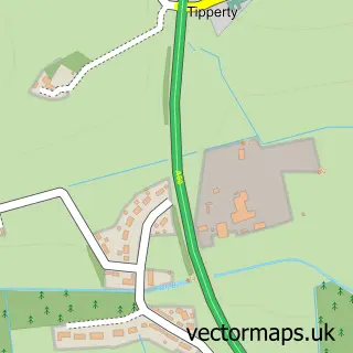
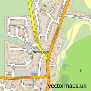
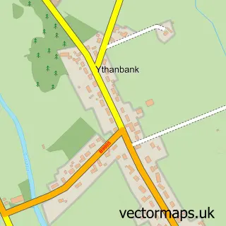
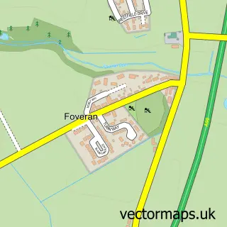
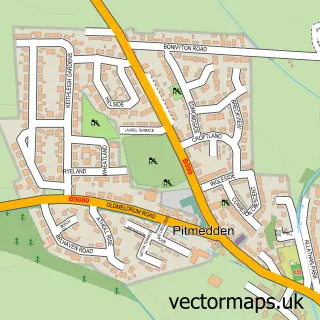
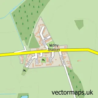
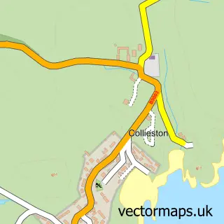
Nearby street map samples around Ellon

More street maps in Aberdeenshire
750 metre map area coverage
Boundary, postcode and point of interest information for the 750m x 750m rectangle centred on this sample map.
Boundaries containing map centre
Constituency: Gordon and Buchan Co Const
District: Aberdeenshire
Icb: Grampian
Postcode District: AB41
Postcode Sector: AB41 9
Ward: Ellon and District Ward
Nearby boundaries intersecting sample
Postcode Sector: AB41 8
Postcode coverage
POI category counts
Beauty Salon: 9
Professional Services: 6
Cafe: 5
Convenience Store: 5
Banks: 4
Barber: 4
Eyewear And Optician: 4
Flowers And Gifts Shop: 4
Hair Salon: 4
Property Management: 4
Sample points of interest
- Aberdein Considine
- JM Taylor Accountants Limited
- Savock Farms
- British Red Cross
- Yumi Asian Cuisine
- Krispy Klean - Car Wash and Detailing
- Union Lane Garage
- Ellon Car Clinic
- Pit Lane Ellon
- Ythan Bakery
- Bank of Scotland
- RBS
Create a larger editable map of Ellon
This sample shows only a 750 metre area. To create a larger map of Ellon, use our map builder to choose your own coverage area, add titles and download editable SVG, PDF and PNG files.
Create a custom map of Ellon