Vector Maps logo
Home Why it works Popular maps Districts Samples Customizer Create Your Map
VectorMaps.uk
Home Popular maps Districts Samples Customizer Create Your Map Privacy Disclaimer
Home / UK Maps / Aberdeenshire / Ythanbank Map

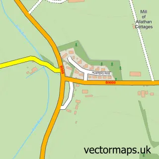
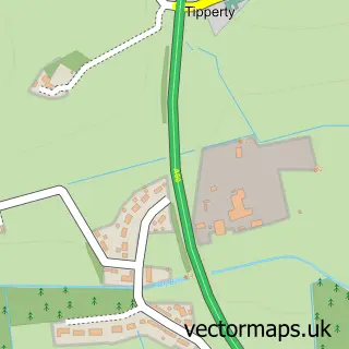
This Ythanbank street map is a detailed vector street map covering a 750m x 750m area. Select a larger area to create and download your own vector street map of Ythanbank.

Ythanbank is a village in Aberdeenshire, in the North East Scotland of Scotland. The settlement falls within the Gordon parliamentary constituency. It is served by the AB41 postcode district, with AB41 7 as the local postcode sector.

The 750-metre map sample for Ythanbank covers 103 mapped buildings and approximately 9.0 km of road detail. The immediate area includes 1 MOT station. The wider area around Ythanbank features 2 tourism points of interest. To create a larger or custom map of Ythanbank, the map builder lets you define your own coverage area and download editable SVG, PDF and PNG files.

103Buildings
9.03 kmRoads
0Named roads
0Residents within 2 miles
Create your own

Create a larger editable map of Ythanbank

Choose any area you need and generate a high-quality vector map instantly. Perfect for print, planning, design, business and personal use.

Choose any location
Editable SVG files
Any size up to A0
PDF, PNG & more
Instant download
High quality guaranteed
Create My Custom Map
Secure, private & no credit card required
Ythanbank Vector Street Map
750m Sample
Ythanbank vector street map sample showing roads, buildings and local features in a 750 metre preview area
Buy Ythanbank Map Print from £12.95 Buy Ythanbank Digital Map from £6

This Ythanbank street map in Aberdeenshire is available as downloadable SVG, PDF and PNG map files, or as a printed map for planning, business, display, education, local information and design work. You can also create a larger custom map area using the map selector.

What this Ythanbank map sample shows

Ythanbank lies within Aberdeenshire parish, part of Ellon And District ward in the Aberdeenshire local authority area. The postcode geography for this area includes the AB postcode area, the AB41 postcode district and the AB41 7 postcode sector. Residents fall under the Grampian for NHS services.

Local features near Ythanbank

Within 2 miles

Amenities and services in and around Ythanbank.

1 MOT stations 1 within 2 miles
2 Tourism & leisure

Counts are approximate and based on publicly available data.

Administrative and postcode information for Ythanbank

Ythanbank lies within Aberdeenshire parish, part of Ellon And District ward in the Aberdeenshire local authority area. The postcode geography for this area includes the AB postcode area, the AB41 postcode district and the AB41 7 postcode sector. Residents fall under the Grampian for NHS services.

Parish ABERDEENSHIRE
Ward Ellon and District
District / local authority Aberdeenshire
County Aberdeenshire
Historic county Aberdeenshire
Postcode district AB41
Postcode sector AB41 7
Parliamentary constituency Gordon
Region North East Scotland
Country Scotland

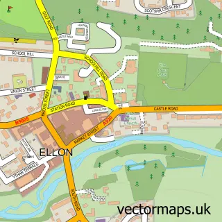
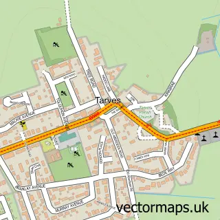
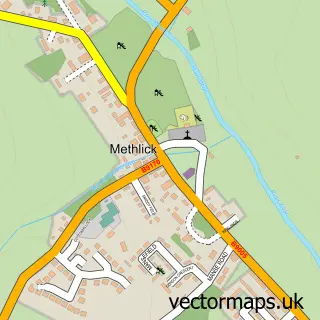
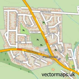
Nearby street map samples around Ythanbank

Street map sample of Ellon, Aberdeenshire Ellon Town - Aberdeenshire - 4.1 miles Street map sample of Aberdeen, City of Aberdeen Aberdeen City - City of Aberdeen - 17.5 miles Street map sample of Tarves, Aberdeenshire Tarves Village - Aberdeenshire - 2.9 miles Street map sample of Methlick, Aberdeenshire Methlick Village - Aberdeenshire - 3.5 miles Street map sample of Pitmedden, Aberdeenshire Pitmedden Village - Aberdeenshire - 4.2 miles Street map sample of Milldale, Aberdeenshire Milldale Village - Aberdeenshire - 4.6 miles Street map sample of Auchnagatt, Aberdeenshire Auchnagatt Village - Aberdeenshire - 5.0 miles Street map sample of Udny Green, Aberdeenshire Udny Green Village - Aberdeenshire - 5.1 miles Street map sample of Barthol Chapel, Aberdeenshire Barthol Chapel Village - Aberdeenshire - 5.5 miles Street map sample of Tipperty, Aberdeenshire Tipperty Village - Aberdeenshire - 6.0 miles

More street maps in Aberdeenshire

Street map sample of Tarves, Aberdeenshire Tarves Village - 2.9 miles Street map sample of Methlick, Aberdeenshire Methlick Village - 3.5 miles Street map sample of Ellon, Aberdeenshire Ellon Town - 4.1 miles Street map sample of Pitmedden, Aberdeenshire Pitmedden Village - 4.2 miles Street map sample of Milldale, Aberdeenshire Milldale Village - 4.6 miles

750 metre map area coverage

Boundary, postcode and point of interest information for the 750m x 750m rectangle centred on this sample map.

Boundaries containing map centre

Constituency: Gordon and Buchan Co Const

District: Aberdeenshire

Icb: Grampian

Postcode District: AB41

Postcode Sector: AB41 7

Ward: Ellon and District Ward

Nearby boundaries intersecting sample

Postcode Sector: AB41 8

Ward: Mid Formartine Ward

Postcode coverage

AB41 AB41 7 AB41 8

POI category counts

Campground: 1

Landmark And Historical Building: 1

Professional Services: 1

Sporting Goods: 1

Town Hall: 1

Yoga Studio: 1

Sample points of interest

  • Ythan Valley Campsite Campground
  • Cairnleith Crofts Landmark And Historical Building
  • Michaelmuir Garage Professional Services
  • Ythan Field Sport Supply Sporting Goods
  • Ythanbank Community Hall Town Hall
  • kelly signorini yoga Yoga Studio

Create a larger editable map of Ythanbank

This sample shows only a 750 metre area. To create a larger map of Ythanbank, use our map builder to choose your own coverage area, add titles and download editable SVG, PDF and PNG files.

Create a custom map of Ythanbank

Phone 01751 473136 | Copyright Vectormaps.uk 2026

Samples Customizer Privacy Disclaimer
Ythanbank Vector Street Map
Ythanbank enlarged street map sample showing a 750 metre preview area