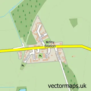
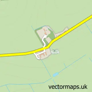
This Udny Green street map is a detailed vector street map covering a 750m x 750m area. Select a larger area to create and download your own vector street map of Udny Green.
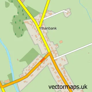
The 750-metre map sample for Udny Green covers 72 mapped buildings and approximately 11.8 km of road detail, of which 5 named roads are named. The immediate area includes 1 GP surgery within 2 miles. The wider area around Udny Green features 1 food and drink venue. To create a larger or custom map of Udny Green, the map builder lets you define your own coverage area and download editable SVG, PDF and PNG files.
Create a larger editable map of Udny Green
Choose any area you need and generate a high-quality vector map instantly. Perfect for print, planning, design, business and personal use.

This Udny Green street map in Aberdeenshire is available as downloadable SVG, PDF and PNG map files, or as a printed map for planning, business, display, education, local information and design work. You can also create a larger custom map area using the map selector.
What this Udny Green map sample shows
Udny Green lies within Aberdeenshire parish, part of Mid Formartine ward in the Aberdeenshire local authority area. The postcode geography for this area includes the AB postcode area, the AB41 postcode district and the AB41 7 postcode sector. Residents fall under the Grampian for NHS services.
Local features near Udny Green
Within 2 milesAmenities and services in and around Udny Green.
Administrative and postcode information for Udny Green
Udny Green lies within Aberdeenshire parish, part of Mid Formartine ward in the Aberdeenshire local authority area. The postcode geography for this area includes the AB postcode area, the AB41 postcode district and the AB41 7 postcode sector. Residents fall under the Grampian for NHS services.
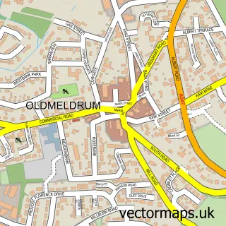
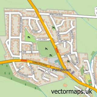
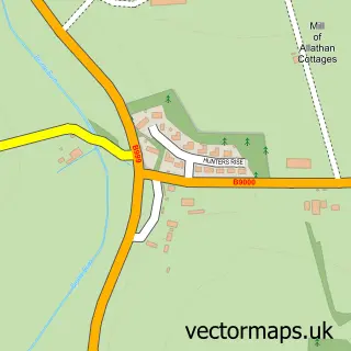
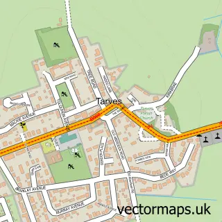
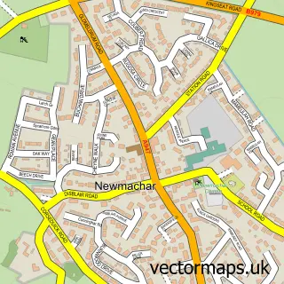
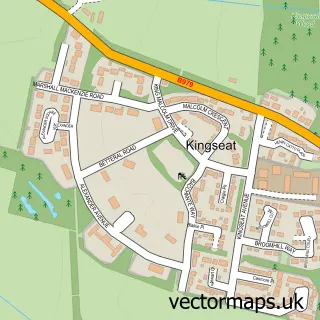
Nearby street map samples around Udny Green

More street maps in Aberdeenshire
750 metre map area coverage
Boundary, postcode and point of interest information for the 750m x 750m rectangle centred on this sample map.
Boundaries containing map centre
Constituency: Gordon and Buchan Co Const
District: Aberdeenshire
Icb: Grampian
Postcode District: AB41
Postcode Sector: AB41 7
Ward: Mid Formartine Ward
Nearby boundaries intersecting sample
Postcode Sector: AB41 6
Postcode coverage
POI category counts
Elementary School: 2
British Restaurant: 1
Church Cathedral: 1
Cooking School: 1
Counseling And Mental Health: 1
Restaurant: 1
Sample points of interest
- Kilted Chef Ltd
- Udny Church
- Kids in the kitchen Aberdeen
- CBT Aberdeenshire
- Udny Green Primary School
- Udny Green Primary School
- Eat on the Green
Create a larger editable map of Udny Green
This sample shows only a 750 metre area. To create a larger map of Udny Green, use our map builder to choose your own coverage area, add titles and download editable SVG, PDF and PNG files.
Create a custom map of Udny Green