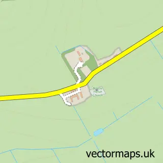
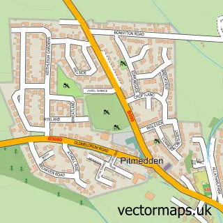
This Oldmeldrum street map is a detailed vector street map covering a 750m x 750m area. Select a larger area to create and download your own vector street map of Oldmeldrum.
The 750-metre map sample for Oldmeldrum covers 624 mapped buildings and approximately 21.6 km of road detail, of which 50 named roads are named. The immediate area includes 1 pub and 1 MOT station within 2 miles. The wider area around Oldmeldrum features 1 tourism point of interest, 1 food and drink venue and 4 hotels. To create a larger or custom map of Oldmeldrum, the map builder lets you define your own coverage area and download editable SVG, PDF and PNG files.
Create a larger editable map of Oldmeldrum
Choose any area you need and generate a high-quality vector map instantly. Perfect for print, planning, design, business and personal use.

This Oldmeldrum street map in Aberdeenshire is available as downloadable SVG, PDF and PNG map files, or as a printed map for planning, business, display, education, local information and design work. You can also create a larger custom map area using the map selector.
What this Oldmeldrum map sample shows
Oldmeldrum lies within Aberdeenshire parish, part of Mid Formartine ward in the Aberdeenshire local authority area. The postcode geography for this area includes the AB postcode area, the AB51 postcode district and the AB51 0 postcode sector. Residents fall under the Grampian for NHS services.
Local features near Oldmeldrum
Within 2 milesAmenities and services in and around Oldmeldrum.
Administrative and postcode information for Oldmeldrum
Oldmeldrum lies within Aberdeenshire parish, part of Mid Formartine ward in the Aberdeenshire local authority area. The postcode geography for this area includes the AB postcode area, the AB51 postcode district and the AB51 0 postcode sector. Residents fall under the Grampian for NHS services.
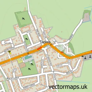
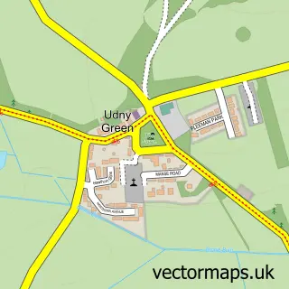
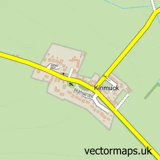
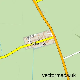
Nearby street map samples around Oldmeldrum

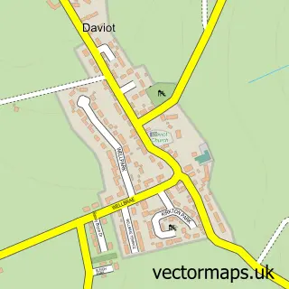
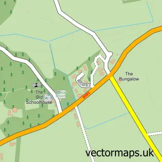
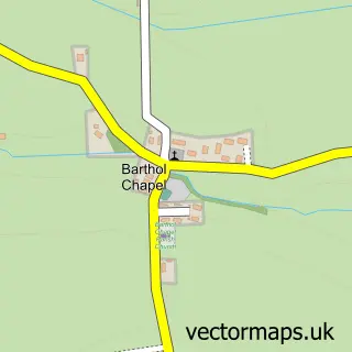
More street maps in Aberdeenshire
750 metre map area coverage
Boundary, postcode and point of interest information for the 750m x 750m rectangle centred on this sample map.
Boundaries containing map centre
Constituency: Gordon and Buchan Co Const
District: Aberdeenshire
Icb: Grampian
Postcode District: AB51
Postcode Sector: AB51 0
Ward: Mid Formartine Ward
Nearby boundaries intersecting sample
No additional intersecting boundaries found.
Postcode coverage
POI category counts
Hotel: 4
Beauty Salon: 3
Professional Services: 3
Bakery: 2
Building Supply Store: 2
Chinese Restaurant: 2
Cottage: 2
Driving School: 2
Hair Salon: 2
Library: 2
Sample points of interest
- Murray Duguid Ltd
- Wellbeing With Agnes
- Rainbow Needlecraft Centre
- Westbank Home
- RNA Auto Detailing Aberdeenshire
- Cakes by Kirsty | Inverurie
- J G Ross Bakers
- Jocks Bar
- Solo Barber
- Hair At The Square - Meldrum
- Envy
- Head Candi
Create a larger editable map of Oldmeldrum
This sample shows only a 750 metre area. To create a larger map of Oldmeldrum, use our map builder to choose your own coverage area, add titles and download editable SVG, PDF and PNG files.
Create a custom map of Oldmeldrum