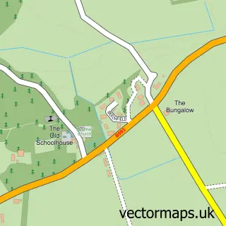
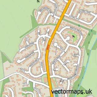
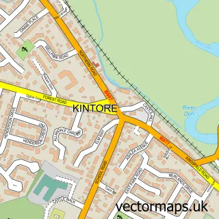
This Inverurie street map is a detailed vector street map covering a 750m x 750m area. Select a larger area to create and download your own vector street map of Inverurie.
The 750-metre map sample for Inverurie covers 354 mapped buildings and approximately 15.9 km of road detail, of which 38 named roads are named. The immediate area includes 1 railway station, 1 GP surgery within 2 miles, 3 pubs and 1 MOT station, with 7 within 2 miles. The wider area around Inverurie features 2 tourism points of interest, 13 food and drink venues and 2 hotels. To create a larger or custom map of Inverurie, the map builder lets you define your own coverage area and download editable SVG, PDF and PNG files.
Create a larger editable map of Inverurie
Choose any area you need and generate a high-quality vector map instantly. Perfect for print, planning, design, business and personal use.

This Inverurie street map in Aberdeenshire is available as downloadable SVG, PDF and PNG map files, or as a printed map for planning, business, display, education, local information and design work. You can also create a larger custom map area using the map selector.
What this Inverurie map sample shows
Inverurie lies within Aberdeenshire parish, part of Inverurie And District ward in the Aberdeenshire local authority area. The postcode geography for this area includes the AB postcode area, the AB51 postcode district and the AB51 3 postcode sector. Residents fall under the Grampian for NHS services.
Local features near Inverurie
Within 2 milesAmenities and services in and around Inverurie.
Administrative and postcode information for Inverurie
Inverurie lies within Aberdeenshire parish, part of Inverurie And District ward in the Aberdeenshire local authority area. The postcode geography for this area includes the AB postcode area, the AB51 postcode district and the AB51 3 postcode sector. Residents fall under the Grampian for NHS services.
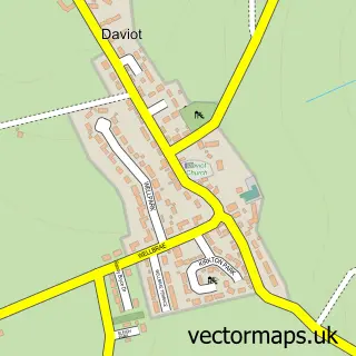
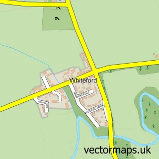
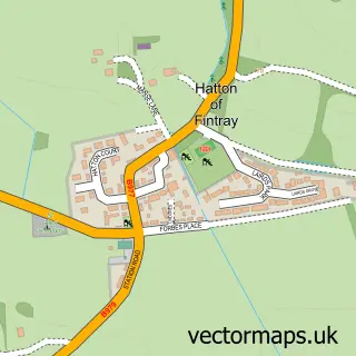
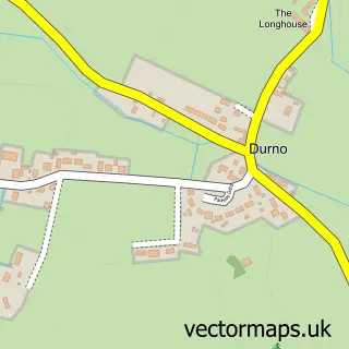
Nearby street map samples around Inverurie

More street maps in Aberdeenshire
750 metre map area coverage
Boundary, postcode and point of interest information for the 750m x 750m rectangle centred on this sample map.
Boundaries containing map centre
Constituency: Gordon and Buchan Co Const
District: Aberdeenshire
Icb: Grampian
Postcode District: AB51
Postcode Sector: AB51 3
Ward: Inverurie and District Ward
Nearby boundaries intersecting sample
Postcode Sector: AB51 0, AB51 4
Postcode coverage
POI category counts
Beauty Salon: 19
Beauty And Spa: 13
Hair Salon: 10
Charity Organization: 9
Clothing Store: 9
Flowers And Gifts Shop: 7
Building Supply Store: 6
Church Cathedral: 6
Coffee Shop: 6
Indian Restaurant: 6
Sample points of interest
- Aberdein Considine
- TaxAssist Accountants
- Body Works With Abi
- Cpandco
- The Pain Stop
- Inverurie gymnastics Club
- Currys PC World
- Sound Technology Euronics
- Ian Duncan Architects
- Gallery i
- Asian Kitchen
- Inverurie
Create a larger editable map of Inverurie
This sample shows only a 750 metre area. To create a larger map of Inverurie, use our map builder to choose your own coverage area, add titles and download editable SVG, PDF and PNG files.
Create a custom map of Inverurie