This Methlick street map is a detailed vector street map covering a 750m x 750m area. Select a larger area to create and download your own vector street map of Methlick.
The 750-metre map sample for Methlick covers 180 mapped buildings and approximately 16.6 km of road detail, of which 7 named roads are named. The wider area around Methlick features 1 hotel. To create a larger or custom map of Methlick, the map builder lets you define your own coverage area and download editable SVG, PDF and PNG files.
Create a larger editable map of Methlick
Choose any area you need and generate a high-quality vector map instantly. Perfect for print, planning, design, business and personal use.

This Methlick street map in Aberdeenshire is available as downloadable SVG, PDF and PNG map files, or as a printed map for planning, business, display, education, local information and design work. You can also create a larger custom map area using the map selector.
What this Methlick map sample shows
Methlick lies within Aberdeenshire parish, part of Turriff And District ward in the Aberdeenshire local authority area. The postcode geography for this area includes the AB postcode area, the AB41 postcode district and the AB41 7 postcode sector. Residents fall under the Grampian for NHS services.
Local features near Methlick
Within 2 milesAmenities and services in and around Methlick.
Administrative and postcode information for Methlick
Methlick lies within Aberdeenshire parish, part of Turriff And District ward in the Aberdeenshire local authority area. The postcode geography for this area includes the AB postcode area, the AB41 postcode district and the AB41 7 postcode sector. Residents fall under the Grampian for NHS services.
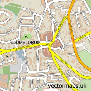
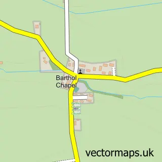
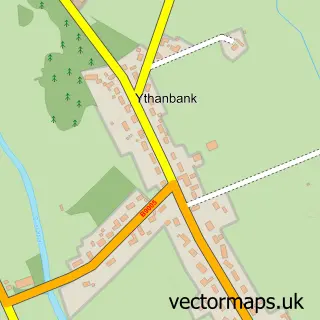
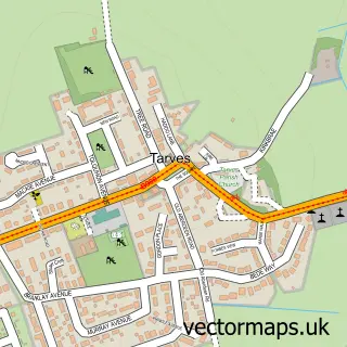
Nearby street map samples around Methlick


More street maps in Aberdeenshire
750 metre map area coverage
Boundary, postcode and point of interest information for the 750m x 750m rectangle centred on this sample map.
Boundaries containing map centre
Constituency: Gordon and Buchan Co Const
District: Aberdeenshire
Icb: Grampian
Postcode District: AB41
Postcode Sector: AB41 7
Ward: Turriff and District Ward
Nearby boundaries intersecting sample
No additional intersecting boundaries found.
Postcode coverage
POI category counts
Scout Hall: 2
Agricultural Service: 1
Amateur Sports Team: 1
Auto Body Shop: 1
Carpenter: 1
Church Cathedral: 1
Convenience Store: 1
Elementary School: 1
Farm: 1
Furniture Store: 1
Sample points of interest
- Marrs Of Methlick Ltd
- Methlick FC
- Luego Sportscars
- W & G Gray
- Methlick Parish Church
- Costcutter
- Methlick School
- Castlehill Farm
- Oh Sew Perfect
- Ythanview Hotel
- Oh Sew Perfect
- 1st Methlick
Create a larger editable map of Methlick
This sample shows only a 750 metre area. To create a larger map of Methlick, use our map builder to choose your own coverage area, add titles and download editable SVG, PDF and PNG files.
Create a custom map of Methlick