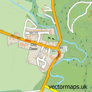
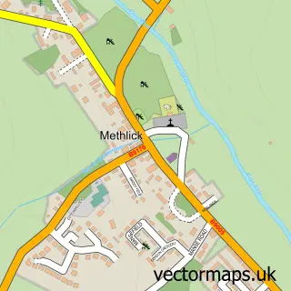
This New Deer street map is a detailed vector street map covering a 750m x 750m area. Select a larger area to create and download your own vector street map of New Deer.
The 750-metre map sample for New Deer covers 284 mapped buildings and approximately 14.1 km of road detail, of which 18 named roads are named. The immediate area includes 3 pubs and 1 MOT station, with 3 within 2 miles. The wider area around New Deer features 1 tourism point of interest, 4 food and drink venues and 1 hotel. To create a larger or custom map of New Deer, the map builder lets you define your own coverage area and download editable SVG, PDF and PNG files.
Create a larger editable map of New Deer
Choose any area you need and generate a high-quality vector map instantly. Perfect for print, planning, design, business and personal use.

This New Deer street map in Aberdeenshire is available as downloadable SVG, PDF and PNG map files, or as a printed map for planning, business, display, education, local information and design work. You can also create a larger custom map area using the map selector.
What this New Deer map sample shows
New Deer lies within Aberdeenshire parish, part of Central Buchan ward in the Aberdeenshire local authority area. The postcode geography for this area includes the AB postcode area, the AB53 postcode district and the AB53 6 postcode sector. Residents fall under the Grampian for NHS services.
Local features near New Deer
Within 2 milesAmenities and services in and around New Deer.
Administrative and postcode information for New Deer
The local authority covering New Deer is Aberdeenshire, within the county of Aberdeenshire. The settlement lies within Central Buchan ward and Aberdeenshire civil parish. The AB53 postcode district and AB53 6 postcode sector serve the immediate area. NHS provision in the area is delivered through Grampian.
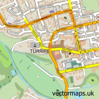
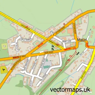
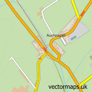
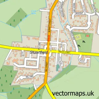
Nearby street map samples around New Deer

More street maps in Aberdeenshire
750 metre map area coverage
Boundary, postcode and point of interest information for the 750m x 750m rectangle centred on this sample map.
Boundaries containing map centre
Constituency: Gordon and Buchan Co Const
District: Aberdeenshire
Icb: Grampian
Postcode District: AB53
Postcode Sector: AB53 6
Ward: Central Buchan Ward
Nearby boundaries intersecting sample
No additional intersecting boundaries found.
Postcode coverage
POI category counts
Pub: 3
Automotive Repair: 2
Pharmacy: 2
Shipping Center: 2
Amateur Sports Team: 1
Antique Store: 1
Arts And Crafts: 1
Bakery: 1
Bank Credit Union: 1
Banks: 1
Sample points of interest
- New Deer Football Club
- Attic Antiques
- Jilly Beans Papercrafts
- Newlands Garage
- Richies Auto Repair
- Kindness Bakers Ltd
- The Royal Bank of Scotland
- Royal Bank of Scotland
- The Howe New Deer
- Allure Hair studio 01771 644734
- Mustard Seed Cafe
- Julieanne Merchant Childminding Services
Create a larger editable map of New Deer
This sample shows only a 750 metre area. To create a larger map of New Deer, use our map builder to choose your own coverage area, add titles and download editable SVG, PDF and PNG files.
Create a custom map of New Deer