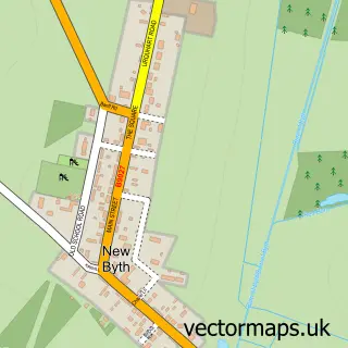
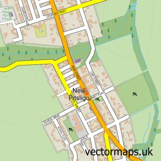
This Cuminestown street map is a detailed vector street map covering a 750m x 750m area. Select a larger area to create and download your own vector street map of Cuminestown.
The 750-metre map sample for Cuminestown covers 211 mapped buildings and approximately 9.7 km of road detail, of which 10 named roads are named. The immediate area includes 1 MOT station. The wider area around Cuminestown features 1 tourism point of interest and 2 hotels. To create a larger or custom map of Cuminestown, the map builder lets you define your own coverage area and download editable SVG, PDF and PNG files.
Create a larger editable map of Cuminestown
Choose any area you need and generate a high-quality vector map instantly. Perfect for print, planning, design, business and personal use.

This Cuminestown street map in Aberdeenshire is available as downloadable SVG, PDF and PNG map files, or as a printed map for planning, business, display, education, local information and design work. You can also create a larger custom map area using the map selector.
What this Cuminestown map sample shows
Cuminestown lies within Aberdeenshire parish, part of Turriff And District ward in the Aberdeenshire local authority area. The postcode geography for this area includes the AB postcode area, the AB53 postcode district and the AB53 5 postcode sector. Residents fall under the Grampian for NHS services.
Local features near Cuminestown
Within 2 milesAmenities and services in and around Cuminestown.
Administrative and postcode information for Cuminestown
The local authority covering Cuminestown is Aberdeenshire, within the county of Aberdeenshire. The settlement lies within Turriff And District ward and Aberdeenshire civil parish. The AB53 postcode district and AB53 5 postcode sector serve the immediate area. NHS provision in the area is delivered through Grampian.
Nearby street map samples around Cuminestown
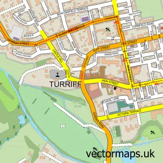

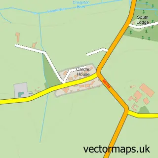
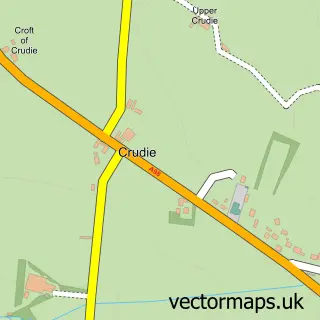

More street maps in Aberdeenshire
750 metre map area coverage
Boundary, postcode and point of interest information for the 750m x 750m rectangle centred on this sample map.
Boundaries containing map centre
Constituency: Gordon and Buchan Co Const
District: Aberdeenshire
Icb: Grampian
Postcode District: AB53
Postcode Sector: AB53 5
Ward: Turriff and District Ward
Nearby boundaries intersecting sample
Postcode Sector: AB53 8
Postcode coverage
POI category counts
Convenience Store: 3
Hotel: 2
Automotive Repair: 1
Bakery: 1
Beauty Salon: 1
Catholic Church: 1
Education: 1
Elementary School: 1
Hair Salon: 1
Park: 1
Sample points of interest
- Cameron Motors
- McKenzie's Biscuits
- Hairtyme and Beauty Treatments
- Monquhitter and New Byth
- Nisa Local
- Scotch Corner
- Test Testing1
- Monquhitter School
- Friends of Monquhitter
- Hair Tyme Salon
- Commercial Hotel
- Doonbye Lodgings
Create a larger editable map of Cuminestown
This sample shows only a 750 metre area. To create a larger map of Cuminestown, use our map builder to choose your own coverage area, add titles and download editable SVG, PDF and PNG files.
Create a custom map of Cuminestown