Vector Maps logo
Home Why it works Popular maps Districts Samples Customizer Create Your Map
VectorMaps.uk
Home Popular maps Districts Samples Customizer Create Your Map Privacy Disclaimer
Home / UK Maps / Aberdeenshire / Fyvie Map

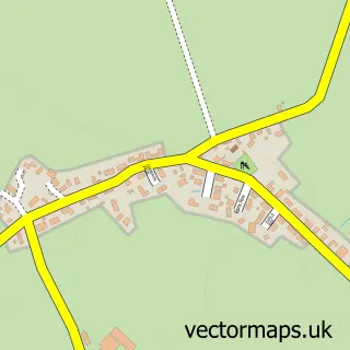
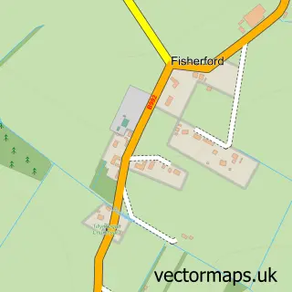
This Fyvie street map is a detailed vector street map covering a 750m x 750m area. Select a larger area to create and download your own vector street map of Fyvie.

Fyvie is a village in Aberdeenshire, in the North East Scotland of Scotland. The settlement falls within the Banff And Buchan parliamentary constituency. It is served by the AB53 postcode district, with AB53 8 as the local postcode sector.

The 750-metre map sample for Fyvie covers 195 mapped buildings and approximately 12.2 km of road detail, of which 9 named roads are named. The immediate area includes 1 MOT station. The wider area around Fyvie features 1 hotel. To create a larger or custom map of Fyvie, the map builder lets you define your own coverage area and download editable SVG, PDF and PNG files.

195Buildings
12.23 kmRoads
9Named roads
0Residents within 2 miles
Create your own

Create a larger editable map of Fyvie

Choose any area you need and generate a high-quality vector map instantly. Perfect for print, planning, design, business and personal use.

Choose any location
Editable SVG files
Any size up to A0
PDF, PNG & more
Instant download
High quality guaranteed
Create My Custom Map
Secure, private & no credit card required
Fyvie Vector Street Map
750m Sample
Fyvie vector street map sample showing roads, buildings and local features in a 750 metre preview area
Buy Fyvie Map Print from £12.95 Buy Fyvie Digital Map from £6

This Fyvie street map in Aberdeenshire is available as downloadable SVG, PDF and PNG map files, or as a printed map for planning, business, display, education, local information and design work. You can also create a larger custom map area using the map selector.

What this Fyvie map sample shows

Fyvie lies within Aberdeenshire parish, part of Turriff And District ward in the Aberdeenshire local authority area. The postcode geography for this area includes the AB postcode area, the AB53 postcode district and the AB53 8 postcode sector. Residents fall under the Grampian for NHS services.

Local features near Fyvie

Within 2 miles

Amenities and services in and around Fyvie.

1 MOT stations 1 within 2 miles
1 Hotels
2 Healthcare POIs
2 Vehicle services

Counts are approximate and based on publicly available data.

Administrative and postcode information for Fyvie

Fyvie lies within Aberdeenshire parish, part of Turriff And District ward in the Aberdeenshire local authority area. The postcode geography for this area includes the AB postcode area, the AB53 postcode district and the AB53 8 postcode sector. Residents fall under the Grampian for NHS services.

Parish ABERDEENSHIRE
Ward Turriff and District
District / local authority Aberdeenshire
County Aberdeenshire
Historic county Aberdeenshire
Postcode district AB53
Postcode sector AB53 8
Parliamentary constituency Banff and Buchan
Region North East Scotland
Country Scotland

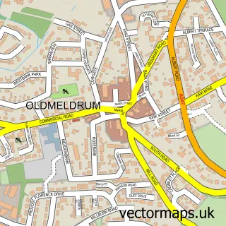
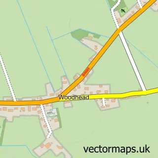
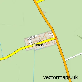
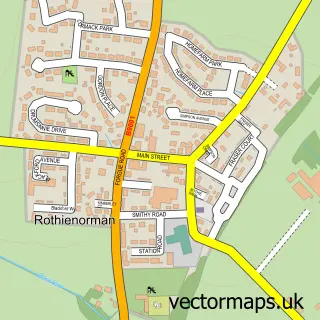
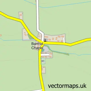
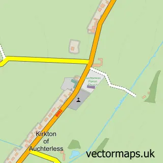
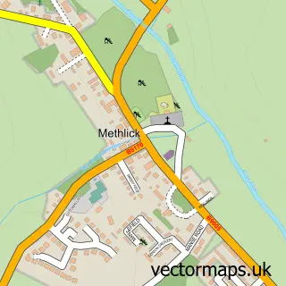
Nearby street map samples around Fyvie

Street map sample of Oldmeldrum, Aberdeenshire Oldmeldrum Town - Aberdeenshire - 7.1 miles Street map sample of Aberdeen, City of Aberdeen Aberdeen City - City of Aberdeen - 22.5 miles Street map sample of Woodhead, Aberdeenshire Woodhead Village - Aberdeenshire - 1.7 miles Street map sample of St Katherines, Aberdeenshire St Katherines Village - Aberdeenshire - 2.4 miles Street map sample of Rothienorman, Aberdeenshire Rothienorman Village - Aberdeenshire - 3.0 miles Street map sample of Barthol Chapel, Aberdeenshire Barthol Chapel Village - Aberdeenshire - 3.9 miles Street map sample of Kirkton of Auchterless, Aberdeenshire Kirkton of Auchterless Village - Aberdeenshire - 4.0 miles Street map sample of Meikle Wartle, Aberdeenshire Meikle Wartle Village - Aberdeenshire - 5.1 miles Street map sample of Methlick, Aberdeenshire Methlick Village - Aberdeenshire - 5.7 miles Street map sample of Fisherford, Aberdeenshire Fisherford Village - Aberdeenshire - 6.0 miles

More street maps in Aberdeenshire

Street map sample of Woodhead, Aberdeenshire Woodhead Village - 1.7 miles Street map sample of St Katherines, Aberdeenshire St Katherines Village - 2.4 miles Street map sample of Rothienorman, Aberdeenshire Rothienorman Village - 3.0 miles Street map sample of Barthol Chapel, Aberdeenshire Barthol Chapel Village - 3.9 miles Street map sample of Kirkton of Auchterless, Aberdeenshire Kirkton of Auchterless Village - 4.0 miles

750 metre map area coverage

Boundary, postcode and point of interest information for the 750m x 750m rectangle centred on this sample map.

Boundaries containing map centre

Constituency: Gordon and Buchan Co Const

District: Aberdeenshire

Icb: Grampian

Postcode District: AB53

Postcode Sector: AB53 8

Ward: Turriff and District Ward

Nearby boundaries intersecting sample

No additional intersecting boundaries found.

Postcode coverage

AB53 AB53 8

POI category counts

Automotive Repair: 2

Church Cathedral: 2

Community Services Non Profits: 2

Elementary School: 2

Scout Hall: 2

Automotive Dealer: 1

British Restaurant: 1

Building Supply Store: 1

Carpenter: 1

Catholic Church: 1

Sample points of interest

  • Ashgrove Engineering Automotive Dealer
  • AB51 Carbon Clean Automotive Repair
  • Fyvie Garage Ltd Automotive Repair
  • Sheiling Tor British Restaurant
  • A D Heating Building Supply Store
  • Intrinket Designs Carpenter
  • Fyvie Catholic Church
  • Fyvie & Rothienorman Parish Church Church Cathedral
  • Fyvie Messy Church Church Cathedral
  • Fyvie Guide House Community Services Non Profits
  • Fyvie Heritage Community Services Non Profits
  • Fyvie Oldmeldrum Medical Group (Fyvie Health Centre) Doctor

Create a larger editable map of Fyvie

This sample shows only a 750 metre area. To create a larger map of Fyvie, use our map builder to choose your own coverage area, add titles and download editable SVG, PDF and PNG files.

Create a custom map of Fyvie

Phone 01751 473136 | Copyright Vectormaps.uk 2026

Samples Customizer Privacy Disclaimer
Fyvie Vector Street Map
Fyvie enlarged street map sample showing a 750 metre preview area