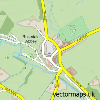
This Hutton-le-Hole street map is a detailed vector street map covering a 750m x 750m area. Select a larger area to create and download your own vector street map of Hutton-le-Hole.
The 750-metre map sample for Hutton-le-Hole covers 104 mapped buildings and approximately 7.2 km of road detail, of which 4 named roads are named. The immediate area includes 2 pubs. The wider area around Hutton-le-Hole features 1 tourism point of interest, 2 food and drink venues and 2 hotels. To create a larger or custom map of Hutton-le-Hole, the map builder lets you define your own coverage area and download editable SVG, PDF and PNG files.
Create a larger editable map of Hutton-le-Hole
Choose any area you need and generate a high-quality vector map instantly. Perfect for print, planning, design, business and personal use.

This Hutton-le-Hole street map in North Yorkshire is available as downloadable SVG, PDF and PNG map files, or as a printed map for planning, business, display, education, local information and design work. You can also create a larger custom map area using the map selector.
What this Hutton-le-Hole map sample shows
Hutton-le-Hole lies within Hutton-Le-Hole Cp parish, part of Dales ward in the North Yorkshire local authority area. The postcode geography for this area includes the YO postcode area, the YO62 postcode district and the YO62 6 postcode sector. Residents fall under the Nhs Humber And North Yorkshire Integrated Care Board for NHS services.
Local features near Hutton-le-Hole
Within 2 milesAmenities and services in and around Hutton-le-Hole.
Administrative and postcode information for Hutton-le-Hole
The local authority covering Hutton-le-Hole is North Yorkshire, within the county of North Yorkshire. The settlement lies within Dales ward and Hutton-Le-Hole Cp civil parish. The YO62 postcode district and YO62 6 postcode sector serve the immediate area. NHS provision in the area is delivered through York And Scarborough Teaching Hospitals Nhs Foundation Trust.
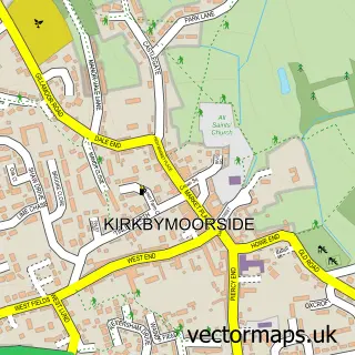
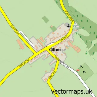
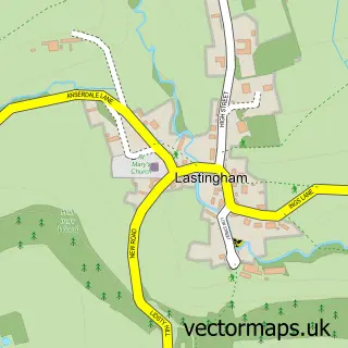
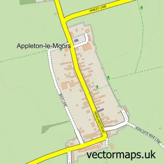
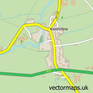
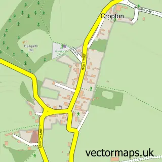
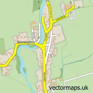
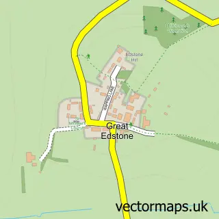
Nearby street map samples around Hutton-le-Hole

More street maps in North Yorkshire
750 metre map area coverage
Boundary, postcode and point of interest information for the 750m x 750m rectangle centred on this sample map.
Boundaries containing map centre
Constituency: Thirsk and Malton Co Const
District: North Yorkshire
Icb: NHS Humber and North Yorkshire ICB
Parish: Hutton-le-Hole CP
Police Force: north yorkshire
Postcode District: YO62
Postcode Sector: YO62 6
Nearby boundaries intersecting sample
Parish: Spaunton CP
Postcode coverage
POI category counts
Arts And Crafts: 2
Bed And Breakfast: 2
Flowers And Gifts Shop: 2
Holiday Rental Home: 2
Hotel: 2
Pub: 2
Anglican Church: 1
Art Museum: 1
Bakery: 1
Community Services Non Profits: 1
Sample points of interest
- St Chad's in Hutton le Hole
- Ryedale Folk Museum
- Greenwood Crafts
- Moorjocks and Daisies
- The Old School House Deli and Bakery
- Burnley House
- The Barn Hotel
- Hutton Le Hole Village Hall
- Chocolate Factory
- The Shop on the Green
- Greenwood Crafts
- Panther Fitness
Create a larger editable map of Hutton-le-Hole
This sample shows only a 750 metre area. To create a larger map of Hutton-le-Hole, use our map builder to choose your own coverage area, add titles and download editable SVG, PDF and PNG files.
Create a custom map of Hutton-le-Hole