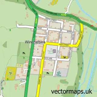
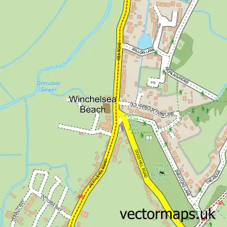
This Icklesham street map is a detailed vector street map covering a 750m x 750m area. Select a larger area to create and download your own vector street map of Icklesham.
The 750-metre map sample for Icklesham covers 216 mapped buildings and approximately 9.3 km of road detail, of which 13 named roads are named. The immediate area includes 1 school, 3 pubs and 1 MOT station within 2 miles. The wider area around Icklesham features 1 tourism point of interest, 3 food and drink venues and 2 campsites within 2 miles. To create a larger or custom map of Icklesham, the map builder lets you define your own coverage area and download editable SVG, PDF and PNG files.
Create a larger editable map of Icklesham
Choose any area you need and generate a high-quality vector map instantly. Perfect for print, planning, design, business and personal use.

This Icklesham street map in East Sussex is available as downloadable SVG, PDF and PNG map files, or as a printed map for planning, business, display, education, local information and design work. You can also create a larger custom map area using the map selector.
What this Icklesham map sample shows
Icklesham lies within Icklesham Cp parish, part of Southern Rother ward in the Rother District local authority area. The postcode geography for this area includes the TN postcode area, the TN36 postcode district and the TN36 4 postcode sector. Residents fall under the Nhs Sussex Integrated Care Board for NHS services.
Local features near Icklesham
Within 2 milesAmenities and services in and around Icklesham.
Administrative and postcode information for Icklesham
Icklesham lies within Icklesham Cp parish, part of Southern Rother ward in the Rother District local authority area. The postcode geography for this area includes the TN postcode area, the TN36 postcode district and the TN36 4 postcode sector. Residents fall under the Nhs Sussex Integrated Care Board for NHS services.
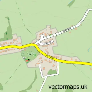
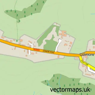
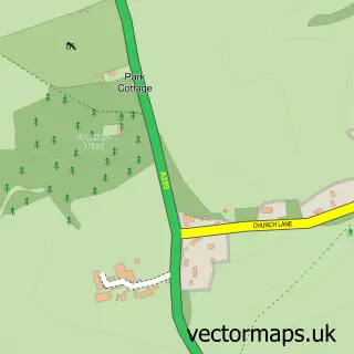
Nearby street map samples around Icklesham

More street maps in East Sussex
750 metre map area coverage
Boundary, postcode and point of interest information for the 750m x 750m rectangle centred on this sample map.
Boundaries containing map centre
Constituency: Hastings and Rye Co Const
County: East Sussex County
District: Rother District
Icb: NHS Surrey and Sussex ICB
Parish: Icklesham CP
Police Force: sussex
Postcode District: TN36
Postcode Sector: TN36 4
Ward: Southern Rother Ward
Nearby boundaries intersecting sample
No additional intersecting boundaries found.
Postcode coverage
POI category counts
Pub: 3
Automotive Repair: 1
Beauty Salon: 1
Boutique: 1
Business Manufacturing And Supply: 1
Doctor: 1
Dog Trainer: 1
Home Health Care: 1
Kids Recreation And Party: 1
Landmark And Historical Building: 1
Sample points of interest
- GM Autos Garage
- Naturally Beautiful Holistic Therapies
- The Funky Hen Secret Boutique
- The Reclaim Garden
- Guestling Surgery
- South Coast Dog Training
- Five Villages Home Association Ltd.
- Bee Line Driver Training
- Icklesham Memorial Hall & Pavilion
- Naturally Beautiful Massage Hastings
- Queens Head
- Robin Hood Inn
Create a larger editable map of Icklesham
This sample shows only a 750 metre area. To create a larger map of Icklesham, use our map builder to choose your own coverage area, add titles and download editable SVG, PDF and PNG files.
Create a custom map of Icklesham