Vector Maps logo
Home Why it works Popular maps Districts Samples Customizer Create Your Map
VectorMaps.uk
Home Popular maps Districts Samples Customizer Create Your Map Privacy Disclaimer
Home / UK Maps / Roxburgh, Ettrick and Lauderdale / Jedburgh Map

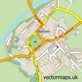
This Jedburgh street map is a detailed vector street map covering a 750m x 750m area. Select a larger area to create and download your own vector street map of Jedburgh.

Jedburgh is a town in Roxburgh, Ettrick And Lauderdale, in the South Scotland of Scotland. Historically, the area formed part of Roxburghshire. The settlement falls within the Berwickshire, Roxburgh And Selkirk parliamentary constituency. It is served by

The 750-metre map sample for Jedburgh covers 243 mapped buildings and approximately 18.9 km of road detail, of which 44 named roads are named. The immediate area includes 1 GP surgery, 4 pubs and 3 MOT stations within 2 miles. The wider area around Jedburgh features 4 tourism points of interest, 14 food and drink venues and 8 hotels. To create a larger or custom map of Jedburgh, the map builder lets you define your own coverage area and download editable SVG, PDF and PNG files.

243Buildings
18.94 kmRoads
44Named roads
0Residents within 2 miles
Create your own

Create a larger editable map of Jedburgh

Choose any area you need and generate a high-quality vector map instantly. Perfect for print, planning, design, business and personal use.

Choose any location
Editable SVG files
Any size up to A0
PDF, PNG & more
Instant download
High quality guaranteed
Create My Custom Map
Secure, private & no credit card required
Jedburgh Vector Street Map
750m Sample
Jedburgh vector street map sample showing roads, buildings and local features in a 750 metre preview area
Buy Jedburgh Map Print from £12.95 Buy Jedburgh Digital Map from £6

This Jedburgh street map in Roxburgh, Ettrick and Lauderdale is available as downloadable SVG, PDF and PNG map files, or as a printed map for planning, business, display, education, local information and design work. You can also create a larger custom map area using the map selector.

What this Jedburgh map sample shows

Jedburgh lies within Scottish Borders parish, part of Jedburgh And District ward in the Scottish Borders local authority area. The postcode geography for this area includes the TD postcode area, the TD8 postcode district and the TD8 6 postcode sector. Residents fall under the Borders for NHS services.

Local features near Jedburgh

Within 2 miles

Amenities and services in and around Jedburgh.

1 Campsites within 2 miles
1 GP surgeries 1 within 2 miles
3 MOT stations within 2 miles
4 Tourism & leisure
14 Food & drink
4 Pubs
8 Hotels
6 Healthcare POIs

Counts are approximate and based on publicly available data.

Administrative and postcode information for Jedburgh

The local authority covering Jedburgh is Scottish Borders, within the county of Roxburgh, Ettrick And Lauderdale. The settlement lies within Jedburgh And District ward and Scottish Borders civil parish. The TD8 postcode district and TD8 6 postcode sector serve the immediate area. NHS provision in the area is delivered through Borders.

Parish SCOTTISH BORDERS
Ward Jedburgh and District
District / local authority Scottish Borders
County Roxburgh, Ettrick and Lauderdale
Historic county Roxburghshire
Postcode district TD8
Postcode sector TD8 6
Parliamentary constituency Berwickshire, Roxburgh and Selkirk
Region South Scotland
Country Scotland

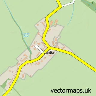
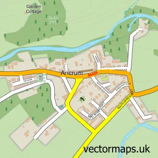
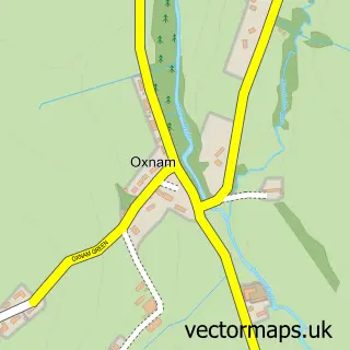
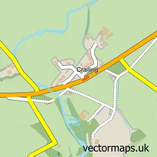
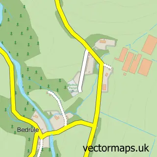
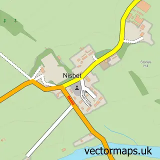
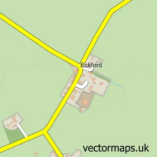
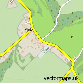
Nearby street map samples around Jedburgh

Street map sample of Edinburgh, City of Edinburgh Edinburgh City - City of Edinburgh - 41.1 miles Street map sample of Lanton, Roxburgh, Ettrick and Lauderdale Lanton Village - Roxburgh, Ettrick and Lauderdale - 1.9 miles Street map sample of Ancrum, Roxburgh, Ettrick and Lauderdale Ancrum Village - Roxburgh, Ettrick and Lauderdale - 2.8 miles Street map sample of Oxnam, Roxburgh, Ettrick and Lauderdale Oxnam Village - Roxburgh, Ettrick and Lauderdale - 3.3 miles Street map sample of Crailing, Roxburgh, Ettrick and Lauderdale Crailing Village - Roxburgh, Ettrick and Lauderdale - 3.5 miles Street map sample of Bedrule, Roxburgh, Ettrick and Lauderdale Bedrule Village - Roxburgh, Ettrick and Lauderdale - 3.5 miles Street map sample of Nisbet, Roxburgh, Ettrick and Lauderdale Nisbet Village - Roxburgh, Ettrick and Lauderdale - 3.5 miles Street map sample of Eckford, Roxburgh, Ettrick and Lauderdale Eckford Village - Roxburgh, Ettrick and Lauderdale - 5.0 miles Street map sample of Minto, Roxburgh, Ettrick and Lauderdale Minto Village - Roxburgh, Ettrick and Lauderdale - 5.2 miles Street map sample of Denholm, Roxburgh, Ettrick and Lauderdale Denholm Village - Roxburgh, Ettrick and Lauderdale - 5.2 miles

More street maps in Roxburgh, Ettrick and Lauderdale

Street map sample of Lanton, Roxburgh, Ettrick and Lauderdale Lanton Village - 1.9 miles Street map sample of Ancrum, Roxburgh, Ettrick and Lauderdale Ancrum Village - 2.8 miles Street map sample of Oxnam, Roxburgh, Ettrick and Lauderdale Oxnam Village - 3.3 miles Street map sample of Crailing, Roxburgh, Ettrick and Lauderdale Crailing Village - 3.5 miles Street map sample of Bedrule, Roxburgh, Ettrick and Lauderdale Bedrule Village - 3.5 miles

750 metre map area coverage

Boundary, postcode and point of interest information for the 750m x 750m rectangle centred on this sample map.

Boundaries containing map centre

Constituency: Berwickshire, Roxburgh and Selkirk Co Const

District: Scottish Borders

Icb: Borders

Postcode District: TD8

Postcode Sector: TD8 6

Ward: Jedburgh and District Ward

Nearby boundaries intersecting sample

No additional intersecting boundaries found.

Postcode coverage

TD8 TD8 6

POI category counts

Hotel: 8

Beauty Salon: 7

Bar: 6

Cafe: 6

Flowers And Gifts Shop: 4

Professional Services: 4

Pub: 4

Antique Store: 3

Bakery: 3

Banks: 3

Sample points of interest

  • Jedburgh Active Schools Active Life
  • Barnardo's Antique Store
  • The Vault of Curiosities Antique Store
  • The Vault of Curiosities Antique Store
  • Jed Legion - RBLS Jedburgh Armed Forces Branch
  • Beastie Assemblage Art Gallery
  • Oisin Art Gallery
  • Mrs Moose Knits Arts And Crafts
  • The Cooperative Food Jedburgh Atms
  • Jackie Lunn's Bakery
  • John Scott Bakers Bakery
  • The Bakery Studio Bakery

Create a larger editable map of Jedburgh

This sample shows only a 750 metre area. To create a larger map of Jedburgh, use our map builder to choose your own coverage area, add titles and download editable SVG, PDF and PNG files.

Create a custom map of Jedburgh

Phone 01751 473136 | Copyright Vectormaps.uk 2026

Samples Customizer Privacy Disclaimer
Jedburgh Vector Street Map
Jedburgh enlarged street map sample showing a 750 metre preview area