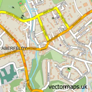
This Kenmore street map is a detailed vector street map covering a 750m x 750m area. Select a larger area to create and download your own vector street map of Kenmore.
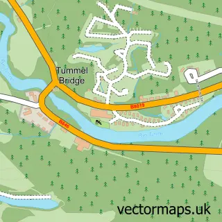
The 750-metre map sample for Kenmore covers 48 mapped buildings and approximately 12.6 km of road detail, of which 5 named roads are named. The wider area around Kenmore features 2 tourism points of interest, 5 food and drink venues and 6 hotels. To create a larger or custom map of Kenmore, the map builder lets you define your own coverage area and download editable SVG, PDF and PNG files.
Create a larger editable map of Kenmore
Choose any area you need and generate a high-quality vector map instantly. Perfect for print, planning, design, business and personal use.

This Kenmore street map in Perth and Kinross is available as downloadable SVG, PDF and PNG map files, or as a printed map for planning, business, display, education, local information and design work. You can also create a larger custom map area using the map selector.
What this Kenmore map sample shows
Kenmore lies within Perth And Kinross parish, part of Highland ward in the Perth And Kinross local authority area. The postcode geography for this area includes the PH postcode area, the PH15 postcode district and the PH15 2 postcode sector. Residents fall under the Tayside for NHS services.
Local features near Kenmore
Within 2 milesAmenities and services in and around Kenmore.
Administrative and postcode information for Kenmore
Kenmore lies within Perth And Kinross parish, part of Highland ward in the Perth And Kinross local authority area. The postcode geography for this area includes the PH postcode area, the PH15 postcode district and the PH15 2 postcode sector. Residents fall under the Tayside for NHS services.
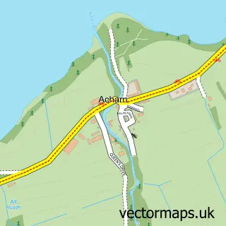
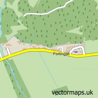
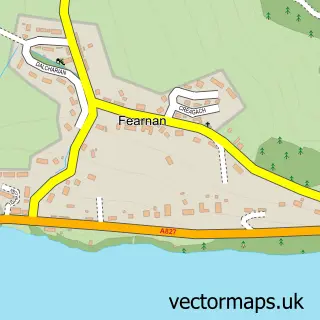
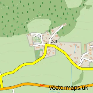
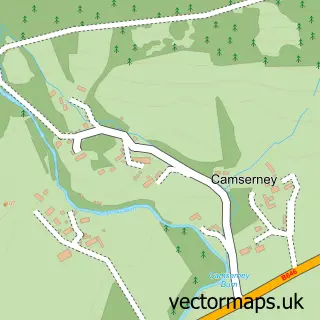
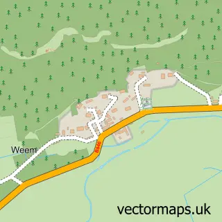
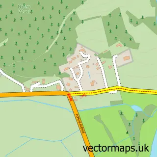
Nearby street map samples around Kenmore

More street maps in Perth and Kinross
750 metre map area coverage
Boundary, postcode and point of interest information for the 750m x 750m rectangle centred on this sample map.
Boundaries containing map centre
Constituency: Angus and Perthshire Glens Co Const
District: Perth and Kinross
Icb: Tayside
Postcode District: PH15
Postcode Sector: PH15 2
Ward: Highland Ward
Nearby boundaries intersecting sample
No additional intersecting boundaries found.
Postcode coverage
POI category counts
Hotel: 5
Restaurant: 5
Active Life: 2
Beach: 2
Cottage: 2
Park: 2
Post Office: 2
Resort: 2
Travel: 2
Bar: 1
Sample points of interest
- Taymouth Castle Golf Club
- The Kenmore Golf Club
- Boars Head Bar Kenmore
- Dalerb
- Kenmore Beach
- Kenmore & Lawers
- Kirk of Kenmore
- SPAR Kenmore
- Deuchars Cottage
- Holiday Cottage Scotland
- Kenmore Primary School
- Loch Tay Boating Centre
Create a larger editable map of Kenmore
This sample shows only a 750 metre area. To create a larger map of Kenmore, use our map builder to choose your own coverage area, add titles and download editable SVG, PDF and PNG files.
Create a custom map of Kenmore