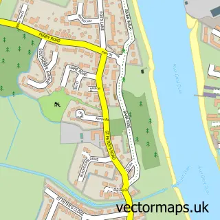
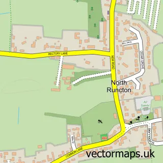
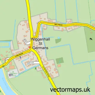
This King's Lynn street map is a detailed vector street map covering a 750m x 750m area. Select a larger area to create and download your own vector street map of King's Lynn.
The 750-metre map sample for King's Lynn covers 183 mapped buildings and approximately 22.5 km of road detail, of which 67 named roads are named. The immediate area includes 1 school, 3 GP surgeries within 2 miles, 15 pubs and 3 MOT stations, with 24 within 2 miles. The wider area around King's Lynn features 15 tourism points of interest, 45 food and drink venues and 6 hotels. To create a larger or custom map of King's Lynn, the map builder lets you define your own coverage area and download editable SVG, PDF and PNG files.
Create a larger editable map of King's Lynn
Choose any area you need and generate a high-quality vector map instantly. Perfect for print, planning, design, business and personal use.

This King's Lynn street map in Norfolk is available as downloadable SVG, PDF and PNG map files, or as a printed map for planning, business, display, education, local information and design work. You can also create a larger custom map area using the map selector.
What this King's Lynn map sample shows
King's Lynn lies within Norfolk County parish, part of St. Margaret's With St. Nicholas ward in the King's Lynn And West Norfolk District (B) local authority area. The postcode geography for this area includes the PE postcode area, the PE30 postcode district and the PE30 1 postcode sector. Residents fall under the Nhs Norfolk And Waveney Integrated Care Board for NHS services.
Local features near King's Lynn
Within 2 milesAmenities and services in and around King's Lynn.
Administrative and postcode information for King's Lynn
The local authority covering King's Lynn is King's Lynn And West Norfolk District (B), within the county of Norfolk. The settlement lies within St. Margaret's With St. Nicholas ward and Norfolk County civil parish. The PE30 postcode district and PE30 1 postcode sector serve the immediate area. NHS provision in the area is delivered through The Queen Elizabeth Hospital, King's Lynn, Nhs Foundation Trust.
Nearby street map samples around King's Lynn

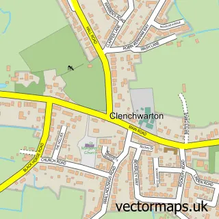
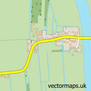
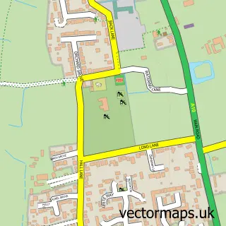
More street maps in Norfolk
750 metre map area coverage
Boundary, postcode and point of interest information for the 750m x 750m rectangle centred on this sample map.
Boundaries containing map centre
Constituency: North West Norfolk Co Const
County: Norfolk County
District: King's Lynn and West Norfolk District (B)
Icb: NHS Norfolk and Waveney ICB
Police Force: norfolk
Postcode District: PE30
Postcode Sector: PE30 1
Ward: St. Margaret's with St. Nicholas Ward
Nearby boundaries intersecting sample
Postcode District: PE34
Postcode Sector: PE30 5, PE34 3
Ward: South & West Lynn Ward
Postcode coverage
POI category counts
Beauty Salon: 27
Clothing Store: 24
Hair Salon: 21
Cafe: 17
Jewelry Store: 16
Real Estate Agent: 16
Pub: 15
Fast Food Restaurant: 13
Charity Organization: 12
Bar: 11
Sample points of interest
- Aston Shaw
- Avn Arena Limited
- Hayhow & Co
- Mapus Financial Planning Ltd.
- Mapus-Smith & Lemmon
- Michael Pellizzaro & Co
- Stephenson Smart
- Thain Wildbur Chartered Accountants
- Grand East Anglia Run
- Hayes & Storr
- Hayes + Storr Solicitors
- Dr Chow Wen
Create a larger editable map of King's Lynn
This sample shows only a 750 metre area. To create a larger map of King's Lynn, use our map builder to choose your own coverage area, add titles and download editable SVG, PDF and PNG files.
Create a custom map of King's Lynn