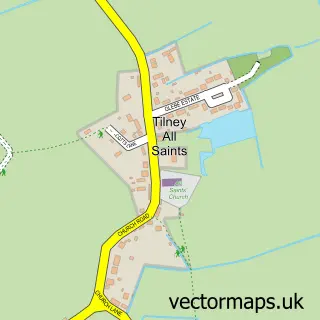
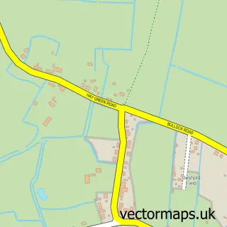
This Clenchwarton street map is a detailed vector street map covering a 750m x 750m area. Select a larger area to create and download your own vector street map of Clenchwarton.
The 750-metre map sample for Clenchwarton covers 401 mapped buildings and approximately 12.2 km of road detail, of which 19 named roads are named. The immediate area includes 1 school and 6 MOT stations within 2 miles. The wider area around Clenchwarton features 1 tourism point of interest. To create a larger or custom map of Clenchwarton, the map builder lets you define your own coverage area and download editable SVG, PDF and PNG files.
Create a larger editable map of Clenchwarton
Choose any area you need and generate a high-quality vector map instantly. Perfect for print, planning, design, business and personal use.

This Clenchwarton street map in Norfolk is available as downloadable SVG, PDF and PNG map files, or as a printed map for planning, business, display, education, local information and design work. You can also create a larger custom map area using the map selector.
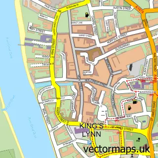
What this Clenchwarton map sample shows
Clenchwarton lies within Clenchwarton Cp parish, part of Clenchwarton ward in the King's Lynn And West Norfolk District (B) local authority area. The postcode geography for this area includes the PE postcode area, the PE34 postcode district and the PE34 4 postcode sector. Residents fall under the Nhs Norfolk And Waveney Integrated Care Board for NHS services.
Local features near Clenchwarton
Within 2 milesAmenities and services in and around Clenchwarton.
Administrative and postcode information for Clenchwarton
Clenchwarton lies within Clenchwarton Cp parish, part of Clenchwarton ward in the King's Lynn And West Norfolk District (B) local authority area. The postcode geography for this area includes the PE postcode area, the PE34 postcode district and the PE34 4 postcode sector. Residents fall under the Nhs Norfolk And Waveney Integrated Care Board for NHS services.
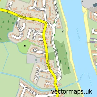
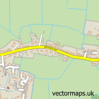
Nearby street map samples around Clenchwarton

More street maps in Norfolk
750 metre map area coverage
Boundary, postcode and point of interest information for the 750m x 750m rectangle centred on this sample map.
Boundaries containing map centre
Constituency: North West Norfolk Co Const
County: Norfolk County
District: King's Lynn and West Norfolk District (B)
Icb: NHS Norfolk and Waveney ICB
Parish: Clenchwarton CP
Police Force: norfolk
Postcode District: PE34
Postcode Sector: PE34 4
Ward: Clenchwarton Ward
Nearby boundaries intersecting sample
No additional intersecting boundaries found.
Postcode coverage
POI category counts
Books Mags Music And Video: 2
Convenience Store: 2
Music And Dvd Store: 2
Anglican Church: 1
Bank Credit Union: 1
Barber: 1
Beauty And Spa: 1
Building Supply Store: 1
Business Manufacturing And Supply: 1
Community Center: 1
Sample points of interest
- St Margaret’s Church.
- West Lynn River Bank
- Unity Barberclub
- Nu Beautique Salon & Tropic ambassador
- Clenchwarton Post Office
- Post Office-Clenchwarton
- Red Dog Garden Services
- DGM Joinery
- Clenchwarton Memorial Hall
- East of England Co-Operative Society
- Morrisons Daily
- Clenchwarton Surgery
Create a larger editable map of Clenchwarton
This sample shows only a 750 metre area. To create a larger map of Clenchwarton, use our map builder to choose your own coverage area, add titles and download editable SVG, PDF and PNG files.
Create a custom map of Clenchwarton