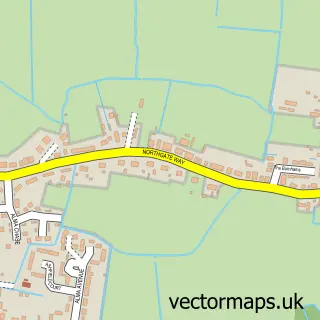
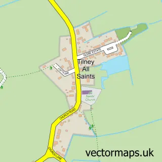
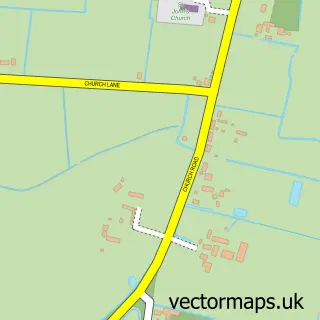
This Terrington St Clement street map is a detailed vector street map covering a 750m x 750m area. Select a larger area to create and download your own vector street map of Terrington St Clement.
The 750-metre map sample for Terrington St Clement covers 396 mapped buildings and approximately 15.9 km of road detail, of which 27 named roads are named. The immediate area includes 1 GP surgery within 2 miles, 1 pub and 1 MOT station, with 3 within 2 miles. The wider area around Terrington St Clement features 4 food and drink venues. To create a larger or custom map of Terrington St Clement, the map builder lets you define your own coverage area and download editable SVG, PDF and PNG files.
Create a larger editable map of Terrington St Clement
Choose any area you need and generate a high-quality vector map instantly. Perfect for print, planning, design, business and personal use.

This Terrington St Clement street map in Norfolk is available as downloadable SVG, PDF and PNG map files, or as a printed map for planning, business, display, education, local information and design work. You can also create a larger custom map area using the map selector.
What this Terrington St Clement map sample shows
Terrington St Clement lies within Terrington St. Clement Cp parish, part of Terrington ward in the King's Lynn And West Norfolk District (B) local authority area. The postcode geography for this area includes the PE postcode area, the PE34 postcode district and the PE34 4 postcode sector. Residents fall under the Nhs Norfolk And Waveney Integrated Care Board for NHS services.
Local features near Terrington St Clement
Within 2 milesAmenities and services in and around Terrington St Clement.
Administrative and postcode information for Terrington St Clement
Terrington St Clement lies within Terrington St. Clement Cp parish, part of Terrington ward in the King's Lynn And West Norfolk District (B) local authority area. The postcode geography for this area includes the PE postcode area, the PE34 postcode district and the PE34 4 postcode sector. Residents fall under the Nhs Norfolk And Waveney Integrated Care Board for NHS services.
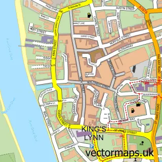
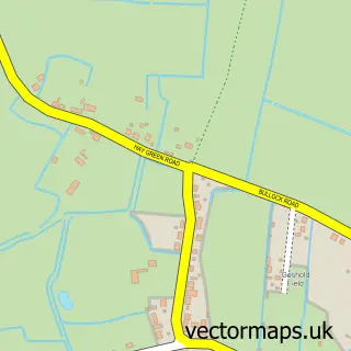
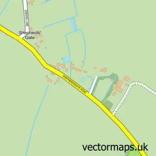
Nearby street map samples around Terrington St Clement

More street maps in Norfolk
750 metre map area coverage
Boundary, postcode and point of interest information for the 750m x 750m rectangle centred on this sample map.
Boundaries containing map centre
Constituency: North West Norfolk Co Const
County: Norfolk County
District: King's Lynn and West Norfolk District (B)
Icb: NHS Norfolk and Waveney ICB
Parish: Terrington St. Clement CP
Police Force: norfolk
Postcode District: PE34
Postcode Sector: PE34 4
Ward: Terrington Ward
Nearby boundaries intersecting sample
No additional intersecting boundaries found.
Postcode coverage
POI category counts
Beauty Salon: 3
Bakery: 2
It Service And Computer Repair: 2
Arts And Crafts: 1
Automotive Repair: 1
Bar: 1
Beauty Product Supplier: 1
Building Supply Store: 1
Cafe: 1
Cheese Shop: 1
Sample points of interest
- Marshland Supply Stores
- Charlies Service Station
- Mr Smiths
- Terrington Bakery Ltd
- Wild Fowler
- Topps
- Country Stylers Unisex Hairdesign
- Memoires Hair studio
- The Beauty Spot.
- Clover Scaffolding
- Chilli Hut
- Cheese And Bees
Create a larger editable map of Terrington St Clement
This sample shows only a 750 metre area. To create a larger map of Terrington St Clement, use our map builder to choose your own coverage area, add titles and download editable SVG, PDF and PNG files.
Create a custom map of Terrington St Clement