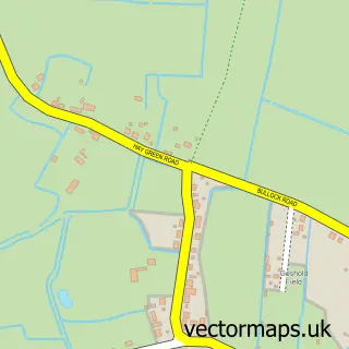
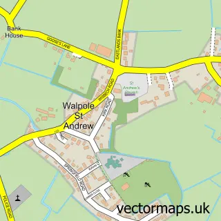
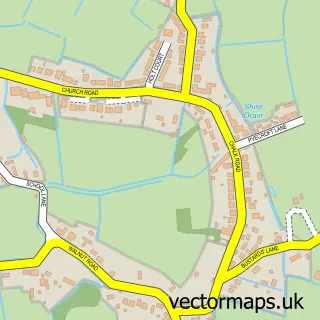
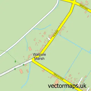
This Walpole Cross Keys street map is a detailed vector street map covering a 750m x 750m area. Select a larger area to create and download your own vector street map of Walpole Cross Keys.
The 750-metre map sample for Walpole Cross Keys covers 139 mapped buildings and approximately 7.1 km of road detail, of which 4 named roads are named. The immediate area includes 1 school and 2 MOT stations within 2 miles. To create a larger or custom map of Walpole Cross Keys, the map builder lets you define your own coverage area and download editable SVG, PDF and PNG files.
Create a larger editable map of Walpole Cross Keys
Choose any area you need and generate a high-quality vector map instantly. Perfect for print, planning, design, business and personal use.

This Walpole Cross Keys street map in Norfolk is available as downloadable SVG, PDF and PNG map files, or as a printed map for planning, business, display, education, local information and design work. You can also create a larger custom map area using the map selector.
What this Walpole Cross Keys map sample shows
Walpole Cross Keys lies within Walpole Cross Keys Cp parish, part of Terrington ward in the King's Lynn And West Norfolk District (B) local authority area. The postcode geography for this area includes the PE postcode area, the PE34 postcode district and the PE34 4 postcode sector. Residents fall under the Nhs Norfolk And Waveney Integrated Care Board for NHS services.
Local features near Walpole Cross Keys
Within 2 milesAmenities and services in and around Walpole Cross Keys.
Administrative and postcode information for Walpole Cross Keys
The local authority covering Walpole Cross Keys is King's Lynn And West Norfolk District (B), within the county of Norfolk. The settlement lies within Terrington ward and Walpole Cross Keys Cp civil parish. The PE34 postcode district and PE34 4 postcode sector serve the immediate area. NHS provision in the area is delivered through The Queen Elizabeth Hospital, King's Lynn, Nhs Foundation Trust.
Nearby street map samples around Walpole Cross Keys

More street maps in Norfolk
750 metre map area coverage
Boundary, postcode and point of interest information for the 750m x 750m rectangle centred on this sample map.
Boundaries containing map centre
Constituency: North West Norfolk Co Const
County: Norfolk County
District: King's Lynn and West Norfolk District (B)
Icb: NHS Norfolk and Waveney ICB
Parish: Walpole Cross Keys CP
Police Force: norfolk
Postcode District: PE34
Postcode Sector: PE34 4
Ward: Terrington Ward
Nearby boundaries intersecting sample
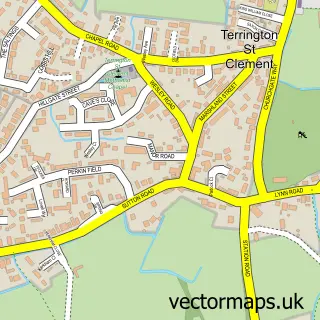
Parish: Terrington St. Clement CP
Postcode coverage
POI category counts
Home Improvement Store: 4
Building Supply Store: 1
Day Care Preschool: 1
Engineering Services: 1
Mattress Store: 1
Naturopathic Holistic: 1
Pet Sitting: 1
Sample points of interest
- Norfolk Hubs
- Ladybirds Pre-School Walpole Cross keys
- JKN Engineering Ltd
- Reinforced Beds
- Reinforced Beds
- Reinforced Beds
- The Reinforced Bed Company
- Endurance Beds
- The Kalming Purple Patch
- Sylvester Sits
Create a larger editable map of Walpole Cross Keys
This sample shows only a 750 metre area. To create a larger map of Walpole Cross Keys, use our map builder to choose your own coverage area, add titles and download editable SVG, PDF and PNG files.
Create a custom map of Walpole Cross Keys