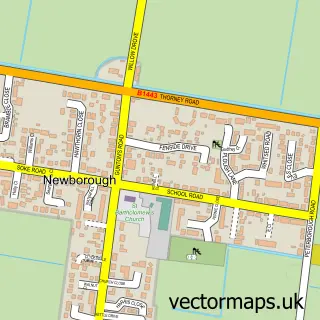
This Peterborough street map is a detailed vector street map covering a 750m x 750m area. Select a larger area to create and download your own vector street map of Peterborough.
The 750-metre map sample for Peterborough covers 113 mapped buildings and approximately 19.5 km of road detail, of which 38 named roads are named. The immediate area includes 1 school, 11 GP surgeries within 2 miles, 19 pubs and 60 MOT stations within 2 miles. The wider area around Peterborough features 10 tourism points of interest, 66 food and drink venues and 5 hotels. To create a larger or custom map of Peterborough, the map builder lets you define your own coverage area and download editable SVG, PDF and PNG files.
Create a larger editable map of Peterborough
Choose any area you need and generate a high-quality vector map instantly. Perfect for print, planning, design, business and personal use.

This Peterborough street map in Cambridgeshire is available as downloadable SVG, PDF and PNG map files, or as a printed map for planning, business, display, education, local information and design work. You can also create a larger custom map area using the map selector.
What this Peterborough map sample shows
Peterborough lies within City Of Peterborough (B) parish, part of West ward in the City Of Peterborough (B) local authority area. The postcode geography for this area includes the PE postcode area, the PE3 postcode district and the PE3 6 postcode sector. Residents fall under the Nhs Cambridgeshire And Peterborough Integrated Care Board for NHS services.
Local features near Peterborough
Within 2 milesAmenities and services in and around Peterborough.
Administrative and postcode information for Peterborough
Peterborough lies within City Of Peterborough (B) parish, part of West ward in the City Of Peterborough (B) local authority area. The postcode geography for this area includes the PE postcode area, the PE3 postcode district and the PE3 6 postcode sector. Residents fall under the Nhs Cambridgeshire And Peterborough Integrated Care Board for NHS services.
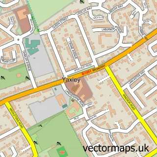
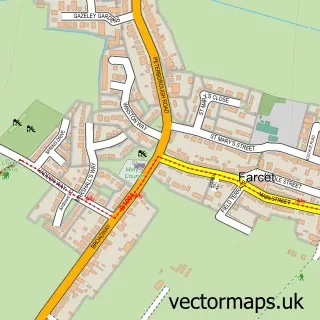
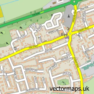
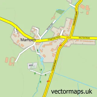
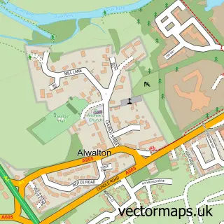
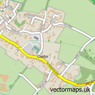
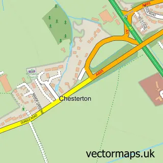
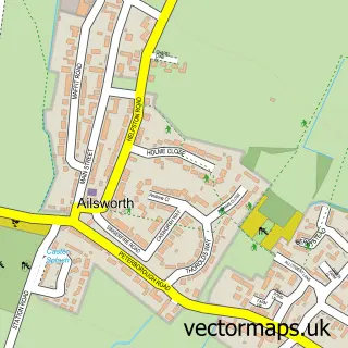
Nearby street map samples around Peterborough
More street maps in Cambridgeshire
750 metre map area coverage
Boundary, postcode and point of interest information for the 750m x 750m rectangle centred on this sample map.
Boundaries containing map centre
Constituency: Peterborough Co Const
District: City of Peterborough (B)
Icb: NHS Central East ICB
Police Force: cambridgeshire
Postcode District: PE1
Postcode Sector: PE1 1
Ward: Central Ward
Nearby boundaries intersecting sample
Postcode District: PE3
Postcode Sector: PE1 2, PE3 6
Postcode coverage
POI category counts
Clothing Store: 43
Employment Agencies: 31
Beauty Salon: 27
Jewelry Store: 24
Coffee Shop: 19
Professional Services: 19
Pub: 19
Real Estate Agent: 17
Beauty And Spa: 16
Hair Salon: 16
Sample points of interest
- BPAS Peterborough
- Change Grow Live, Aspire Peterborough
- Anex-Uk Ltd
- Pitman Training Centre Ltd.
- Pitman Training Peterborough
- Ann Summers
- Alchemy Marketing
- Digital Niche
- Fiducia Marketing Solutions
- Geek Designs
- Hummingbird
- Pharma Mix
Create a larger editable map of Peterborough
This sample shows only a 750 metre area. To create a larger map of Peterborough, use our map builder to choose your own coverage area, add titles and download editable SVG, PDF and PNG files.
Create a custom map of Peterborough