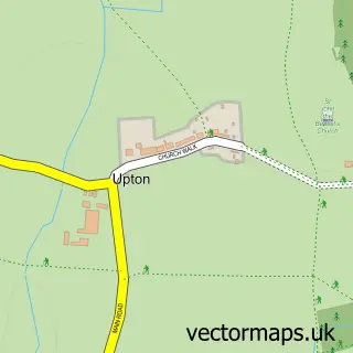
This Castor street map is a detailed vector street map covering a 750m x 750m area. Select a larger area to create and download your own vector street map of Castor.
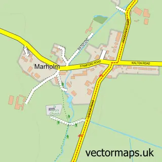
The 750-metre map sample for Castor covers 259 mapped buildings and approximately 15.7 km of road detail, of which 19 named roads are named. The immediate area includes 1 school, 1 GP surgery within 2 miles and 3 pubs. The wider area around Castor features 1 tourism point of interest, 5 food and drink venues and 1 campsite within 2 miles. To create a larger or custom map of Castor, the map builder lets you define your own coverage area and download editable SVG, PDF and PNG files.
Create a larger editable map of Castor
Choose any area you need and generate a high-quality vector map instantly. Perfect for print, planning, design, business and personal use.

This Castor street map in Cambridgeshire is available as downloadable SVG, PDF and PNG map files, or as a printed map for planning, business, display, education, local information and design work. You can also create a larger custom map area using the map selector.
What this Castor map sample shows
Castor lies within Castor Cp parish, part of Glinton And Castor ward in the City Of Peterborough (B) local authority area. The postcode geography for this area includes the PE postcode area, the PE5 postcode district and the PE5 7 postcode sector. Residents fall under the Nhs Cambridgeshire And Peterborough Integrated Care Board for NHS services.
Local features near Castor
Within 2 milesAmenities and services in and around Castor.
Administrative and postcode information for Castor
Castor lies within Castor Cp parish, part of Glinton And Castor ward in the City Of Peterborough (B) local authority area. The postcode geography for this area includes the PE postcode area, the PE5 postcode district and the PE5 7 postcode sector. Residents fall under the Nhs Cambridgeshire And Peterborough Integrated Care Board for NHS services.
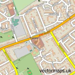
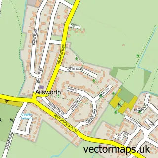
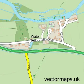
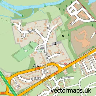
Nearby street map samples around Castor

More street maps in Cambridgeshire
750 metre map area coverage
Boundary, postcode and point of interest information for the 750m x 750m rectangle centred on this sample map.
Boundaries containing map centre
Constituency: North West Cambridgeshire Co Const
District: City of Peterborough (B)
Icb: NHS Central East ICB
Parish: Castor CP
Police Force: cambridgeshire
Postcode District: PE5
Postcode Sector: PE5 7
Ward: Glinton & Castor Ward
Nearby boundaries intersecting sample
Postcode District: PE6
Postcode Sector: PE6 7
Postcode coverage
POI category counts
Church Cathedral: 6
Professional Services: 4
Pub: 3
Bar: 2
Yoga Studio: 2
Advertising Agency: 1
Alternative Medicine: 1
Anglican Church: 1
Assisted Living Facility: 1
Attractions And Activities: 1
Sample points of interest
- Hotchilly Marketing
- GC Technologies
- Castor: St Kyneburgha
- Castor Lodge Care Home - Country Court
- Castor House
- Shakedown Blues
- The Fitzwilliam Arms
- RCB Treatments
- Castor Ales
- Colin Hussey Builders
- Squire's Coffee House
- Castor & Ailsworth Village Hall
Create a larger editable map of Castor
This sample shows only a 750 metre area. To create a larger map of Castor, use our map builder to choose your own coverage area, add titles and download editable SVG, PDF and PNG files.
Create a custom map of Castor