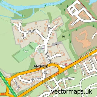
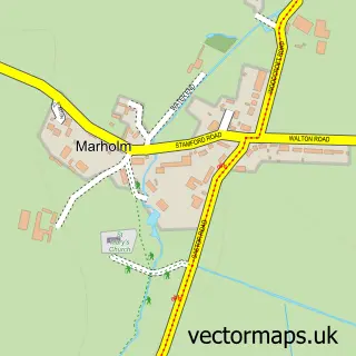
This Ailsworth street map is a detailed vector street map covering a 750m x 750m area. Select a larger area to create and download your own vector street map of Ailsworth.
The 750-metre map sample for Ailsworth covers 311 mapped buildings and approximately 12.7 km of road detail, of which 22 named roads are named. The immediate area includes 1 GP surgery and 3 pubs. The wider area around Ailsworth features 7 food and drink venues and 1 hotel. To create a larger or custom map of Ailsworth, the map builder lets you define your own coverage area and download editable SVG, PDF and PNG files.
Create a larger editable map of Ailsworth
Choose any area you need and generate a high-quality vector map instantly. Perfect for print, planning, design, business and personal use.

This Ailsworth street map in Cambridgeshire is available as downloadable SVG, PDF and PNG map files, or as a printed map for planning, business, display, education, local information and design work. You can also create a larger custom map area using the map selector.
What this Ailsworth map sample shows
Ailsworth lies within Ailsworth Cp parish, part of Glinton And Castor ward in the City Of Peterborough (B) local authority area. The postcode geography for this area includes the PE postcode area, the PE5 postcode district and the PE5 7 postcode sector. Residents fall under the Nhs Cambridgeshire And Peterborough Integrated Care Board for NHS services.
Local features near Ailsworth
Within 2 milesAmenities and services in and around Ailsworth.
Administrative and postcode information for Ailsworth
The local authority covering Ailsworth is City Of Peterborough (B), within the county of Cambridgeshire. The settlement lies within Glinton And Castor ward and Ailsworth Cp civil parish. The PE5 postcode district and PE5 7 postcode sector serve the immediate area. NHS provision in the area is delivered through North West Anglia Nhs Foundation Trust.
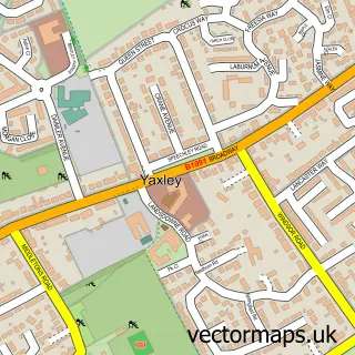
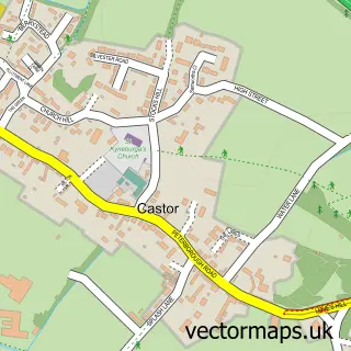
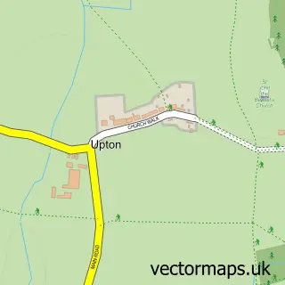
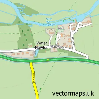
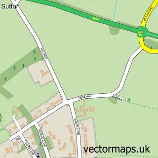
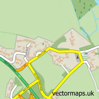
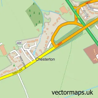
Nearby street map samples around Ailsworth

More street maps in Cambridgeshire
750 metre map area coverage
Boundary, postcode and point of interest information for the 750m x 750m rectangle centred on this sample map.
Boundaries containing map centre
Constituency: North West Cambridgeshire Co Const
District: City of Peterborough (B)
Icb: NHS Central East ICB
Parish: Ailsworth CP
Police Force: cambridgeshire
Postcode District: PE5
Postcode Sector: PE5 7
Ward: Glinton & Castor Ward
Nearby boundaries intersecting sample
Parish: Castor CP
Postcode coverage
POI category counts
Driving School: 3
Professional Services: 3
Pub: 3
Arts And Entertainment: 2
Coffee Shop: 2
Hair Salon: 2
Plumbing: 2
Automotive Repair: 1
Baby Gear And Furniture: 1
Bar And Grill Restaurant: 1
Sample points of interest
- Ailsworth
- John Elson Cartoonist
- Nene Overland
- Bilibib
- Ribs Spa, Health Club, Bar and Brasserie
- Charlottes Beautique
- Self Awareness
- The Coffee House
- The Coffee House
- Ailsworth Medical Centre
- R J a's Driving School
- RJA's Driving School
Create a larger editable map of Ailsworth
This sample shows only a 750 metre area. To create a larger map of Ailsworth, use our map builder to choose your own coverage area, add titles and download editable SVG, PDF and PNG files.
Create a custom map of Ailsworth