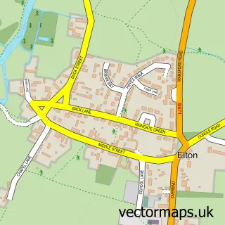
This Alwalton street map is a detailed vector street map covering a 750m x 750m area. Select a larger area to create and download your own vector street map of Alwalton.
The 750-metre map sample for Alwalton covers 237 mapped buildings and approximately 12.6 km of road detail, of which 11 named roads are named. The immediate area includes 2 GP surgeries within 2 miles, 1 pub and 1 MOT station within 2 miles. The wider area around Alwalton features 1 tourism point of interest, 2 food and drink venues and 3 hotels. To create a larger or custom map of Alwalton, the map builder lets you define your own coverage area and download editable SVG, PDF and PNG files.
Create a larger editable map of Alwalton
Choose any area you need and generate a high-quality vector map instantly. Perfect for print, planning, design, business and personal use.

This Alwalton street map in Cambridgeshire is available as downloadable SVG, PDF and PNG map files, or as a printed map for planning, business, display, education, local information and design work. You can also create a larger custom map area using the map selector.
What this Alwalton map sample shows
Alwalton lies within Alwalton Cp parish, part of Stilton, Folksworth & Washingley ward in the Huntingdonshire District local authority area. The postcode geography for this area includes the PE postcode area, the PE7 postcode district and the PE7 3 postcode sector. Residents fall under the Nhs Cambridgeshire And Peterborough Integrated Care Board for NHS services.
Local features near Alwalton
Within 2 milesAmenities and services in and around Alwalton.
Administrative and postcode information for Alwalton
The local authority covering Alwalton is Huntingdonshire District, within the county of Cambridgeshire. The settlement lies within Stilton, Folksworth & Washingley ward and Alwalton Cp civil parish. The PE7 postcode district and PE7 3 postcode sector serve the immediate area. NHS provision in the area is delivered through North West Anglia Nhs Foundation Trust.
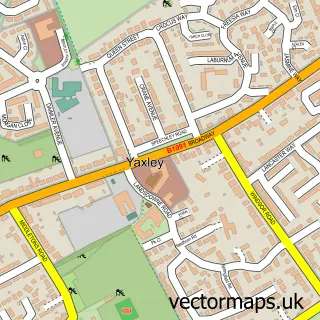
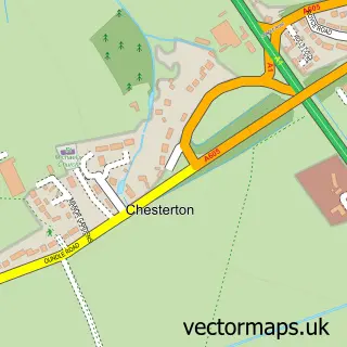
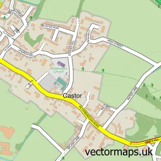
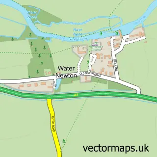
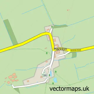
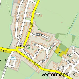
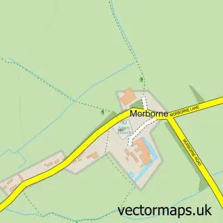
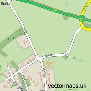
Nearby street map samples around Alwalton

More street maps in Cambridgeshire
750 metre map area coverage
Boundary, postcode and point of interest information for the 750m x 750m rectangle centred on this sample map.
Boundaries containing map centre
Constituency: North West Cambridgeshire Co Const
County: Cambridgeshire County
District: Huntingdonshire District
Icb: NHS Central East ICB
Parish: Alwalton CP
Police Force: cambridgeshire
Postcode District: PE7
Postcode Sector: PE7 3
Ward: Stilton, Folksworth & Washingley Ward
Nearby boundaries intersecting sample
District: City of Peterborough (B)
Parish: Castor CP, Chesterton CP, Orton Waterville CP
Postcode District: PE2
Postcode Sector: PE2 6
Ward: Glinton & Castor Ward, Orton Waterville Ward
Postcode coverage
POI category counts
Professional Services: 5
Accountant: 3
Education: 3
Hotel: 3
Private Association: 3
Software Development: 3
Bed And Breakfast: 2
Church Cathedral: 2
Hair Salon: 2
Industrial Equipment: 2
Sample points of interest
- MHA MacIntyre Hudson
- Moore Chartered Accountants and Business Advisers
- TaxAssist Accountants
- Chamberlain
- St Andrew
- Helpsystems
- Beautywithinyou -beauty salon/spa
- Mill House Alwalton
- Orchard House B&B
- GAP Ltd
- Alwalton Locke
- St. Andrew's Church
Create a larger editable map of Alwalton
This sample shows only a 750 metre area. To create a larger map of Alwalton, use our map builder to choose your own coverage area, add titles and download editable SVG, PDF and PNG files.
Create a custom map of Alwalton