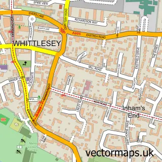
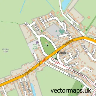
This Eye street map is a detailed vector street map covering a 750m x 750m area. Select a larger area to create and download your own vector street map of Eye.
The 750-metre map sample for Eye covers 567 mapped buildings and approximately 18.8 km of road detail, of which 29 named roads are named. The immediate area includes 1 school, 1 GP surgery within 2 miles, 1 pub and 1 MOT station, with 7 within 2 miles. The wider area around Eye features 1 tourism point of interest and 3 food and drink venues. To create a larger or custom map of Eye, the map builder lets you define your own coverage area and download editable SVG, PDF and PNG files.
Create a larger editable map of Eye
Choose any area you need and generate a high-quality vector map instantly. Perfect for print, planning, design, business and personal use.

This Eye street map in Cambridgeshire is available as downloadable SVG, PDF and PNG map files, or as a printed map for planning, business, display, education, local information and design work. You can also create a larger custom map area using the map selector.
What this Eye map sample shows
Eye lies within Eye Cp parish, part of Eye, Thorney And Newborough ward in the City Of Peterborough (B) local authority area. The postcode geography for this area includes the PE postcode area, the PE6 postcode district and the PE6 7 postcode sector. Residents fall under the Nhs Cambridgeshire And Peterborough Integrated Care Board for NHS services.
Local features near Eye
Within 2 milesAmenities and services in and around Eye.
Administrative and postcode information for Eye
Eye lies within Eye Cp parish, part of Eye, Thorney And Newborough ward in the City Of Peterborough (B) local authority area. The postcode geography for this area includes the PE postcode area, the PE6 postcode district and the PE6 7 postcode sector. Residents fall under the Nhs Cambridgeshire And Peterborough Integrated Care Board for NHS services.
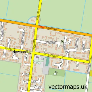
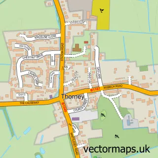
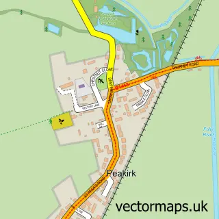
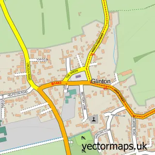
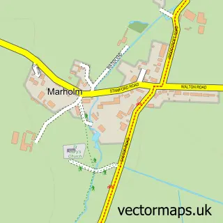
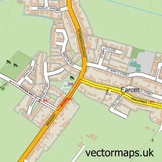
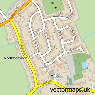
Nearby street map samples around Eye

More street maps in Cambridgeshire
750 metre map area coverage
Boundary, postcode and point of interest information for the 750m x 750m rectangle centred on this sample map.
Boundaries containing map centre
Constituency: Peterborough Co Const
District: City of Peterborough (B)
Icb: NHS Central East ICB
Parish: Eye CP
Police Force: cambridgeshire
Postcode District: PE6
Postcode Sector: PE6 7
Ward: Eye, Thorney & Newborough Ward
Nearby boundaries intersecting sample
Parish: Newborough CP
Postcode coverage
POI category counts
Beauty Salon: 6
Used Car Dealer: 5
Community Center: 4
Assisted Living Facility: 3
Car Dealer: 3
Bar: 2
Building Supply Store: 2
Convenience Store: 2
Dentist: 2
Driving School: 2
Sample points of interest
- Timeless Health & Wellbeing
- St Matthew
- Autism Care UK
- Field House Eye Ltd.
- Woad Court
- Central England Co-Op - Eye High Street
- Eye M O T Test Centre
- Webbs Yamaha Centre Peterborough
- Cottage Bakery
- The Blazing Saddle Bar & Pipe Club
- The Boyz Outside Bars
- Head 2 Head i
Create a larger editable map of Eye
This sample shows only a 750 metre area. To create a larger map of Eye, use our map builder to choose your own coverage area, add titles and download editable SVG, PDF and PNG files.
Create a custom map of Eye