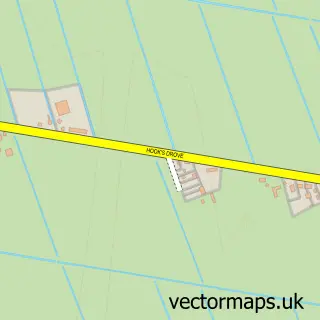
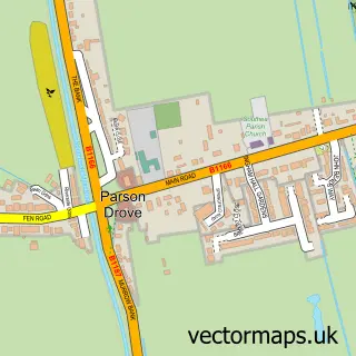
This Thorney street map is a detailed vector street map covering a 750m x 750m area. Select a larger area to create and download your own vector street map of Thorney.
The 750-metre map sample for Thorney covers 266 mapped buildings and approximately 8.3 km of road detail, of which 18 named roads are named. The immediate area includes 1 school, 1 GP surgery, 1 pub and 1 MOT station. The wider area around Thorney features 2 tourism points of interest and 1 food and drink venue. To create a larger or custom map of Thorney, the map builder lets you define your own coverage area and download editable SVG, PDF and PNG files.
Create a larger editable map of Thorney
Choose any area you need and generate a high-quality vector map instantly. Perfect for print, planning, design, business and personal use.

This Thorney street map in Cambridgeshire is available as downloadable SVG, PDF and PNG map files, or as a printed map for planning, business, display, education, local information and design work. You can also create a larger custom map area using the map selector.
What this Thorney map sample shows
Thorney lies within Thorney Cp parish, part of Eye, Thorney And Newborough ward in the City Of Peterborough (B) local authority area. The postcode geography for this area includes the PE postcode area, the PE6 postcode district and the PE6 0 postcode sector. Residents fall under the Nhs Cambridgeshire And Peterborough Integrated Care Board for NHS services.
Local features near Thorney
Within 2 milesAmenities and services in and around Thorney.
Administrative and postcode information for Thorney
The local authority covering Thorney is City Of Peterborough (B), within the county of Cambridgeshire. The settlement lies within Eye, Thorney And Newborough ward and Thorney Cp civil parish. The PE6 postcode district and PE6 0 postcode sector serve the immediate area. NHS provision in the area is delivered through North West Anglia Nhs Foundation Trust.
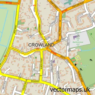
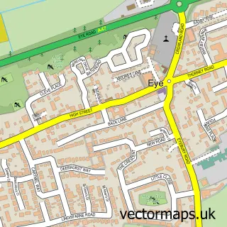
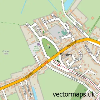
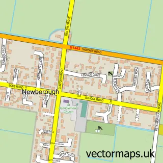
Nearby street map samples around Thorney

More street maps in Cambridgeshire
750 metre map area coverage
Boundary, postcode and point of interest information for the 750m x 750m rectangle centred on this sample map.
Boundaries containing map centre
Constituency: Peterborough Co Const
District: City of Peterborough (B)
Icb: NHS Central East ICB
Parish: Thorney CP
Police Force: cambridgeshire
Postcode District: PE6
Postcode Sector: PE6 0
Ward: Eye, Thorney & Newborough Ward
Nearby boundaries intersecting sample
No additional intersecting boundaries found.
Postcode coverage
POI category counts
Advertising Agency: 2
Automotive Repair: 2
Building Supply Store: 2
Freight And Cargo Service: 2
Shipping Center: 2
Arts And Crafts: 1
Auto Body Shop: 1
Child Care And Day Care: 1
Church Cathedral: 1
Cultural Center: 1
Sample points of interest
- Artinfusion
- Games 6
- Molly & Prim
- Red Pistons Garage
- Heritage Motors
- Pboro Engine Repairs
- Perspective Consructio
- The Concrete Co
- Smiley Faces Nursery
- Thorney Abbey
- The Balance Space
- Jenner Healthcare
Create a larger editable map of Thorney
This sample shows only a 750 metre area. To create a larger map of Thorney, use our map builder to choose your own coverage area, add titles and download editable SVG, PDF and PNG files.
Create a custom map of Thorney