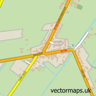
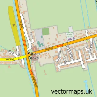
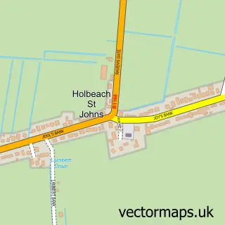
This Gedney Hill street map is a detailed vector street map covering a 750m x 750m area. Select a larger area to create and download your own vector street map of Gedney Hill.
The 750-metre map sample for Gedney Hill covers 227 mapped buildings and approximately 12.7 km of road detail, of which 9 named roads are named. The immediate area includes 1 school and 1 MOT station within 2 miles. The wider area around Gedney Hill features 1 campsite within 2 miles. To create a larger or custom map of Gedney Hill, the map builder lets you define your own coverage area and download editable SVG, PDF and PNG files.
Create a larger editable map of Gedney Hill
Choose any area you need and generate a high-quality vector map instantly. Perfect for print, planning, design, business and personal use.

This Gedney Hill street map in Lincolnshire is available as downloadable SVG, PDF and PNG map files, or as a printed map for planning, business, display, education, local information and design work. You can also create a larger custom map area using the map selector.
What this Gedney Hill map sample shows
Gedney Hill lies within Gedney Hill Cp parish, part of The Saints ward in the South Holland District local authority area. The postcode geography for this area includes the PE postcode area, the PE12 postcode district and the PE12 0 postcode sector. Residents fall under the Nhs Lincolnshire Integrated Care Board for NHS services.
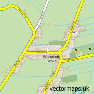
Local features near Gedney Hill
Within 2 milesAmenities and services in and around Gedney Hill.
Administrative and postcode information for Gedney Hill
The local authority covering Gedney Hill is South Holland District, within the county of Lincolnshire. The settlement lies within The Saints ward and Gedney Hill Cp civil parish. The PE12 postcode district and PE12 0 postcode sector serve the immediate area. NHS provision in the area is delivered through The Queen Elizabeth Hospital, King's Lynn, Nhs Foundation Trust.
Nearby street map samples around Gedney Hill

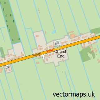
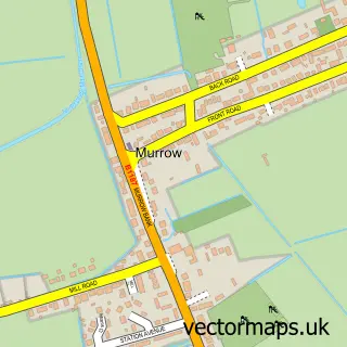
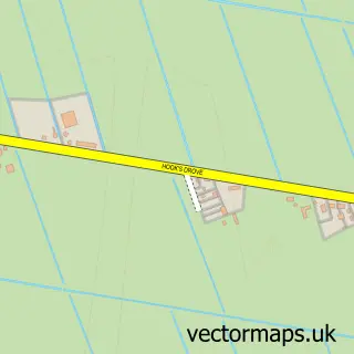
More street maps in Lincolnshire
750 metre map area coverage
Boundary, postcode and point of interest information for the 750m x 750m rectangle centred on this sample map.
Boundaries containing map centre
Constituency: South Holland and The Deepings Co Const
County: Lincolnshire County
District: South Holland District
Icb: NHS Lincolnshire ICB
Parish: Gedney Hill CP
Police Force: lincolnshire
Postcode District: PE12
Postcode Sector: PE12 0
Ward: The Saints Ward
Nearby boundaries intersecting sample
No additional intersecting boundaries found.
Postcode coverage
POI category counts
Convenience Store: 2
Agricultural Cooperatives: 1
Anglican Church: 1
Charity Organization: 1
Child Care And Day Care: 1
Church Cathedral: 1
Elementary School: 1
Event Planning: 1
Flowers And Gifts Shop: 1
Hospital: 1
Sample points of interest
- MAB Flowers limited
- Holy Trinity with St Polycarp, Gedney Hill
- Gedney Hill Womens Institute
- Rachel Barker
- Holy Trinity Church
- McColl's
- Morrisons Daily
- Gedney Hill C of E Primary School
- Gedney Hill & District Memorial Hall
- Floristry Training
- Giggles Galore Nursery And Childcare Centre
- West Grove Nurseries
Create a larger editable map of Gedney Hill
This sample shows only a 750 metre area. To create a larger map of Gedney Hill, use our map builder to choose your own coverage area, add titles and download editable SVG, PDF and PNG files.
Create a custom map of Gedney Hill