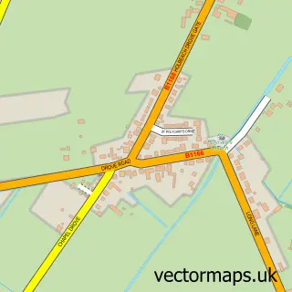
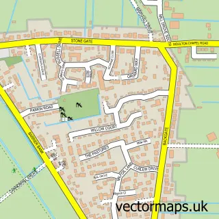
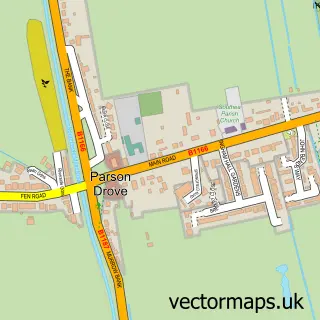
This Whaplode Drove street map is a detailed vector street map covering a 750m x 750m area. Select a larger area to create and download your own vector street map of Whaplode Drove.
The 750-metre map sample for Whaplode Drove covers 124 mapped buildings and approximately 12.0 km of road detail, of which 8 named roads are named. The immediate area includes 1 MOT station within 2 miles. The wider area around Whaplode Drove features 2 food and drink venues and 1 campsite within 2 miles. To create a larger or custom map of Whaplode Drove, the map builder lets you define your own coverage area and download editable SVG, PDF and PNG files.
Create a larger editable map of Whaplode Drove
Choose any area you need and generate a high-quality vector map instantly. Perfect for print, planning, design, business and personal use.

This Whaplode Drove street map in Lincolnshire is available as downloadable SVG, PDF and PNG map files, or as a printed map for planning, business, display, education, local information and design work. You can also create a larger custom map area using the map selector.
What this Whaplode Drove map sample shows
Whaplode Drove lies within Whaplode Cp parish, part of Whaplode And Holbeach St John's ward in the South Holland District local authority area. The postcode geography for this area includes the PE postcode area, the PE12 postcode district and the PE12 0 postcode sector. Residents fall under the Nhs Lincolnshire Integrated Care Board for NHS services.
Local features near Whaplode Drove
Within 2 milesAmenities and services in and around Whaplode Drove.
Administrative and postcode information for Whaplode Drove
The local authority covering Whaplode Drove is South Holland District, within the county of Lincolnshire. The settlement lies within Whaplode And Holbeach St John's ward and Whaplode Cp civil parish. The PE12 postcode district and PE12 0 postcode sector serve the immediate area. NHS provision in the area is delivered through The Queen Elizabeth Hospital, King's Lynn, Nhs Foundation Trust.
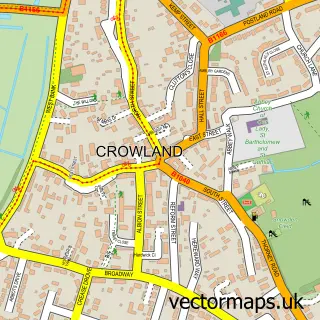
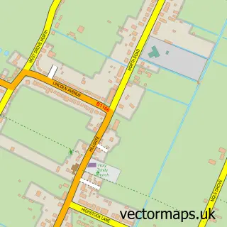
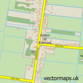
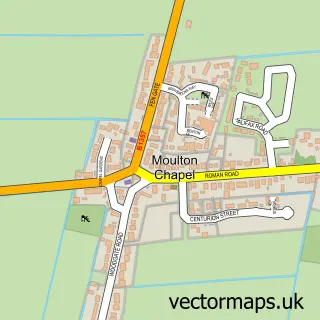
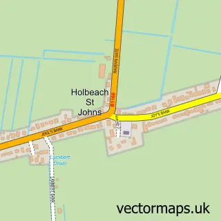
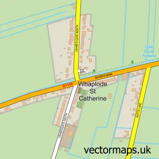
Nearby street map samples around Whaplode Drove

More street maps in Lincolnshire
750 metre map area coverage
Boundary, postcode and point of interest information for the 750m x 750m rectangle centred on this sample map.
Boundaries containing map centre
Constituency: South Holland and The Deepings Co Const
County: Lincolnshire County
District: South Holland District
Icb: NHS Lincolnshire ICB
Parish: Whaplode CP
Police Force: lincolnshire
Postcode District: PE12
Postcode Sector: PE12 0
Ward: Whaplode and Holbeach St. John's Ward
Nearby boundaries intersecting sample
Parish: Crowland CP, Holbeach CP
Ward: Crowland and Deeping St. Nicholas Ward
Postcode coverage
POI category counts
Restaurant: 2
Anglican Church: 1
B2b Rubber And Plastics: 1
Business Manufacturing And Supply: 1
Church Cathedral: 1
Metal Plating Service: 1
Musical Instrument Store: 1
Parking: 1
Social Service Organizations: 1
Talent Agency: 1
Sample points of interest
- St John the Baptist, Whaplode Drove
- Webb W J Company Ltd.
- W J Webb and Co
- Whaplode Drove Churchroom
- Mouthpiece Plating
- Brass Care
- Sammy the Chamois
- Elizabethan Centre WDSC
- Red Bus
- Whaplode Drove Social Club
- Artsworld International Management
- Durcan Services Ltd.
Create a larger editable map of Whaplode Drove
This sample shows only a 750 metre area. To create a larger map of Whaplode Drove, use our map builder to choose your own coverage area, add titles and download editable SVG, PDF and PNG files.
Create a custom map of Whaplode Drove