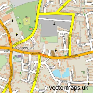
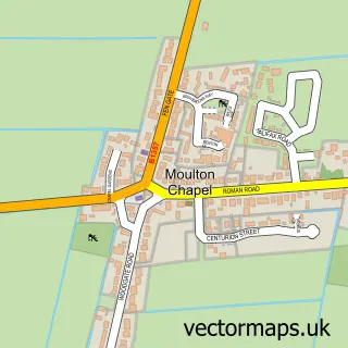
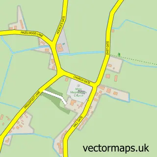
This Holbeach St Johns street map is a detailed vector street map covering a 750m x 750m area. Select a larger area to create and download your own vector street map of Holbeach St Johns.
The 750-metre map sample for Holbeach St Johns covers 100 mapped buildings and approximately 11.3 km of road detail, of which 6 named roads are named. The immediate area includes 1 pub. The wider area around Holbeach St Johns features 1 food and drink venue. To create a larger or custom map of Holbeach St Johns, the map builder lets you define your own coverage area and download editable SVG, PDF and PNG files.
Create a larger editable map of Holbeach St Johns
Choose any area you need and generate a high-quality vector map instantly. Perfect for print, planning, design, business and personal use.

This Holbeach St Johns street map in Lincolnshire is available as downloadable SVG, PDF and PNG map files, or as a printed map for planning, business, display, education, local information and design work. You can also create a larger custom map area using the map selector.
What this Holbeach St Johns map sample shows
Holbeach St Johns lies within Holbeach Cp parish, part of Whaplode And Holbeach St John's ward in the South Holland District local authority area. The postcode geography for this area includes the PE postcode area, the PE12 postcode district and the PE12 8 postcode sector. Residents fall under the Nhs Lincolnshire Integrated Care Board for NHS services.
Local features near Holbeach St Johns
Within 2 milesAmenities and services in and around Holbeach St Johns.
Administrative and postcode information for Holbeach St Johns
The local authority covering Holbeach St Johns is South Holland District, within the county of Lincolnshire. The settlement lies within Whaplode And Holbeach St John's ward and Holbeach Cp civil parish. The PE12 postcode district and PE12 8 postcode sector serve the immediate area. NHS provision in the area is delivered through The Queen Elizabeth Hospital, King's Lynn, Nhs Foundation Trust.
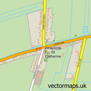
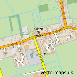
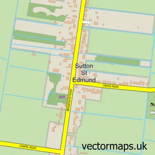
Nearby street map samples around Holbeach St Johns

More street maps in Lincolnshire
750 metre map area coverage
Boundary, postcode and point of interest information for the 750m x 750m rectangle centred on this sample map.
Boundaries containing map centre
Constituency: South Holland and The Deepings Co Const
County: Lincolnshire County
District: South Holland District
Icb: NHS Lincolnshire ICB
Parish: Holbeach CP
Police Force: lincolnshire
Postcode District: PE12
Postcode Sector: PE12 8
Ward: Whaplode and Holbeach St. John's Ward
Nearby boundaries intersecting sample
Parish: Fleet CP
Ward: Fleet Ward
Postcode coverage
POI category counts
Anglican Church: 1
Car Dealer: 1
Community Center: 1
Crops Production: 1
Event Technology Service: 1
Flooring Contractors: 1
Jewelry Store: 1
Landscape Architect: 1
Pub: 1
Real Estate Investment: 1
Sample points of interest
- St Johns, Holbeach Fen
- Glenside Motor Company
- Holbeach St Johns Village Hall
- Rookery Farm Packing Ltd.
- Lincs Bouncy Castle Hire
- A.B.C Flooring Services
- Ming Studio Designs
- RW Landscaping Ltd.
- The Plough
- Property Cluster
Create a larger editable map of Holbeach St Johns
This sample shows only a 750 metre area. To create a larger map of Holbeach St Johns, use our map builder to choose your own coverage area, add titles and download editable SVG, PDF and PNG files.
Create a custom map of Holbeach St Johns