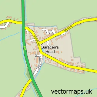
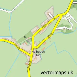
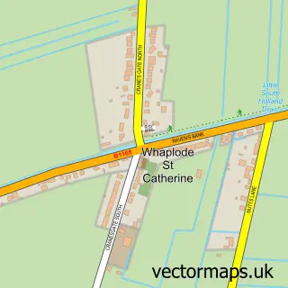
This Holbeach street map is a detailed vector street map covering a 750m x 750m area. Select a larger area to create and download your own vector street map of Holbeach.
The 750-metre map sample for Holbeach covers 536 mapped buildings and approximately 17.5 km of road detail, of which 48 named roads are named. The immediate area includes 2 GP surgeries, 3 pubs and 2 MOT stations, with 6 within 2 miles. The wider area around Holbeach features 1 tourism point of interest, 8 food and drink venues and 3 hotels. To create a larger or custom map of Holbeach, the map builder lets you define your own coverage area and download editable SVG, PDF and PNG files.
Create a larger editable map of Holbeach
Choose any area you need and generate a high-quality vector map instantly. Perfect for print, planning, design, business and personal use.

This Holbeach street map in Lincolnshire is available as downloadable SVG, PDF and PNG map files, or as a printed map for planning, business, display, education, local information and design work. You can also create a larger custom map area using the map selector.
What this Holbeach map sample shows
Holbeach lies within Holbeach Cp parish, part of Holbeach Town ward in the South Holland District local authority area. The postcode geography for this area includes the PE postcode area, the PE12 postcode district and the PE12 7 postcode sector. Residents fall under the Nhs Lincolnshire Integrated Care Board for NHS services.
Local features near Holbeach
Within 2 milesAmenities and services in and around Holbeach.
Administrative and postcode information for Holbeach
Holbeach lies within Holbeach Cp parish, part of Holbeach Town ward in the South Holland District local authority area. The postcode geography for this area includes the PE postcode area, the PE12 postcode district and the PE12 7 postcode sector. Residents fall under the Nhs Lincolnshire Integrated Care Board for NHS services.
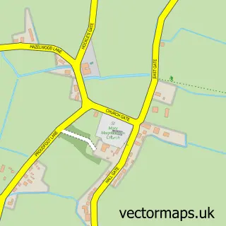
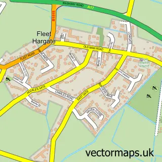
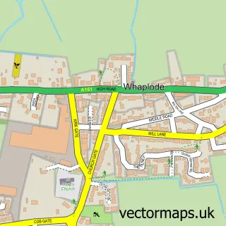
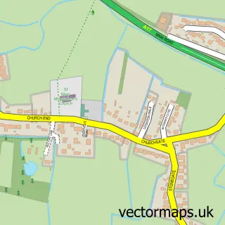
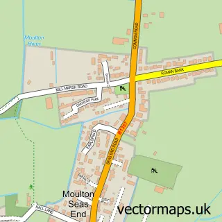
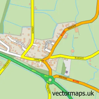
Nearby street map samples around Holbeach

More street maps in Lincolnshire
750 metre map area coverage
Boundary, postcode and point of interest information for the 750m x 750m rectangle centred on this sample map.
Boundaries containing map centre
Constituency: South Holland and The Deepings Co Const
County: Lincolnshire County
District: South Holland District
Icb: NHS Lincolnshire ICB
Parish: Holbeach CP
Police Force: lincolnshire
Postcode District: PE12
Postcode Sector: PE12 7
Ward: Holbeach Town Ward
Nearby boundaries intersecting sample
No additional intersecting boundaries found.
Postcode coverage
POI category counts
Beauty Salon: 7
Hair Salon: 6
Barber: 5
Building Supply Store: 5
Flowers And Gifts Shop: 5
Indian Restaurant: 5
Professional Services: 5
Veterinarian: 5
Fish And Chips Restaurant: 4
Pharmacy: 4
Sample points of interest
- Bulley Davey
- Every Cloud Limited
- Salway & Wright
- Tina King Acupuncture
- Holbeach Kebab
- Home & Antiques Holbeach
- Home & Antiques Jewellers
- Sue Ryder
- G R Merchant Architectural Consultant
- Tonwood D I Y
- Hix & Son
- Hyper Works Garage
Create a larger editable map of Holbeach
This sample shows only a 750 metre area. To create a larger map of Holbeach, use our map builder to choose your own coverage area, add titles and download editable SVG, PDF and PNG files.
Create a custom map of Holbeach