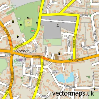
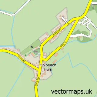
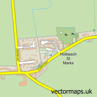
This Fleet Hargate street map is a detailed vector street map covering a 750m x 750m area. Select a larger area to create and download your own vector street map of Fleet Hargate.
The 750-metre map sample for Fleet Hargate covers 340 mapped buildings and approximately 14.1 km of road detail, of which 19 named roads are named. The immediate area includes 1 GP surgery within 2 miles, 1 pub and 4 MOT stations within 2 miles. The wider area around Fleet Hargate features 1 tourism point of interest, 1 food and drink venue and 3 campsites within 2 miles. To create a larger or custom map of Fleet Hargate, the map builder lets you define your own coverage area and download editable SVG, PDF and PNG files.
Create a larger editable map of Fleet Hargate
Choose any area you need and generate a high-quality vector map instantly. Perfect for print, planning, design, business and personal use.

This Fleet Hargate street map in Lincolnshire is available as downloadable SVG, PDF and PNG map files, or as a printed map for planning, business, display, education, local information and design work. You can also create a larger custom map area using the map selector.
What this Fleet Hargate map sample shows
Fleet Hargate lies within Fleet Cp parish, part of Fleet ward in the South Holland District local authority area. The postcode geography for this area includes the PE postcode area, the PE12 postcode district and the PE12 8 postcode sector. Residents fall under the Nhs Lincolnshire Integrated Care Board for NHS services.
Local features near Fleet Hargate
Within 2 milesAmenities and services in and around Fleet Hargate.
Administrative and postcode information for Fleet Hargate
Fleet Hargate lies within Fleet Cp parish, part of Fleet ward in the South Holland District local authority area. The postcode geography for this area includes the PE postcode area, the PE12 postcode district and the PE12 8 postcode sector. Residents fall under the Nhs Lincolnshire Integrated Care Board for NHS services.
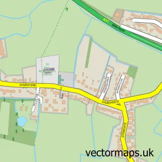
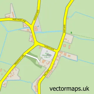
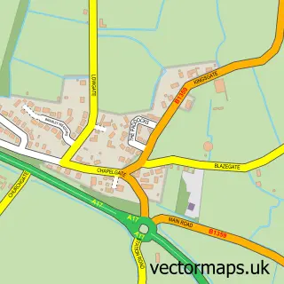
Nearby street map samples around Fleet Hargate

More street maps in Lincolnshire
750 metre map area coverage
Boundary, postcode and point of interest information for the 750m x 750m rectangle centred on this sample map.
Boundaries containing map centre
Constituency: South Holland and The Deepings Co Const
County: Lincolnshire County
District: South Holland District
Icb: NHS Lincolnshire ICB
Parish: Fleet CP
Police Force: lincolnshire
Postcode District: PE12
Postcode Sector: PE12 8
Ward: Fleet Ward
Nearby boundaries intersecting sample
Parish: Gedney CP
Ward: Gedney Ward
Postcode coverage
POI category counts
Arts And Entertainment: 1
Assisted Living Facility: 1
Bakery: 1
Campground: 1
Gym: 1
Home Service: 1
Pub: 1
Retirement Home: 1
Sample points of interest
- Fleet Hargate
- Field House Residential Care Home
- Cakes by Adele
- Delph Bank Touring Caravan & Camping Park
- Fun Fabulous Fitness
- The Willows Day Nursery
- Rose and Crown
- Capricorn Cottage
Create a larger editable map of Fleet Hargate
This sample shows only a 750 metre area. To create a larger map of Fleet Hargate, use our map builder to choose your own coverage area, add titles and download editable SVG, PDF and PNG files.
Create a custom map of Fleet Hargate