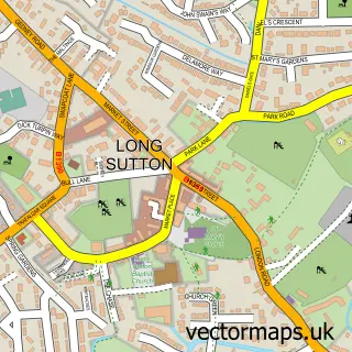
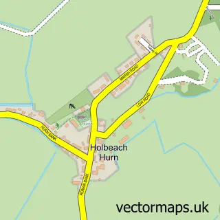
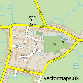
This Lutton street map is a detailed vector street map covering a 750m x 750m area. Select a larger area to create and download your own vector street map of Lutton.
The 750-metre map sample for Lutton covers 221 mapped buildings and approximately 10.0 km of road detail, of which 17 named roads are named. The immediate area includes 1 school, 1 GP surgery within 2 miles, 1 pub and 3 MOT stations within 2 miles. The wider area around Lutton features 1 tourism point of interest and 1 food and drink venue. To create a larger or custom map of Lutton, the map builder lets you define your own coverage area and download editable SVG, PDF and PNG files.
Create a larger editable map of Lutton
Choose any area you need and generate a high-quality vector map instantly. Perfect for print, planning, design, business and personal use.

This Lutton street map in Lincolnshire is available as downloadable SVG, PDF and PNG map files, or as a printed map for planning, business, display, education, local information and design work. You can also create a larger custom map area using the map selector.
What this Lutton map sample shows
Lutton lies within Lutton Cp parish, part of Long Sutton ward in the South Holland District local authority area. The postcode geography for this area includes the PE postcode area, the PE12 postcode district and the PE12 9 postcode sector. Residents fall under the Nhs Lincolnshire Integrated Care Board for NHS services.
Local features near Lutton
Within 2 milesAmenities and services in and around Lutton.
Administrative and postcode information for Lutton
The local authority covering Lutton is South Holland District, within the county of Lincolnshire. The settlement lies within Long Sutton ward and Lutton Cp civil parish. The PE12 postcode district and PE12 9 postcode sector serve the immediate area. NHS provision in the area is delivered through The Queen Elizabeth Hospital, King's Lynn, Nhs Foundation Trust.
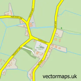
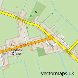
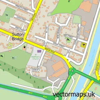
Nearby street map samples around Lutton

More street maps in Lincolnshire
750 metre map area coverage
Boundary, postcode and point of interest information for the 750m x 750m rectangle centred on this sample map.
Boundaries containing map centre
Constituency: South Holland and The Deepings Co Const
County: Lincolnshire County
District: South Holland District
Icb: NHS Lincolnshire ICB
Parish: Lutton CP
Police Force: lincolnshire
Postcode District: PE12
Postcode Sector: PE12 9
Ward: Long Sutton Ward
Nearby boundaries intersecting sample
Parish: Gedney CP
Postcode Sector: PE12 0
Ward: Gedney Ward
Postcode coverage
POI category counts
Anglican Church: 1
Attractions And Activities: 1
Bar: 1
Building Supply Store: 1
Caterer: 1
Church Cathedral: 1
Clothing Store: 1
Elementary School: 1
Medical Service Organizations: 1
Online Shop: 1
Sample points of interest
- St Nicholas, Lutton
- M-hops
- Jolly Crispen
- Traffic Engineering Services
- Lutton Village Hall
- St Nicholas's Church
- Andys Dress Closet
- Lutton St Nicholas Primary School
- TBT First Aid
- Spalding Conservatories
- The Jolly Crispin
- Dunns
Create a larger editable map of Lutton
This sample shows only a 750 metre area. To create a larger map of Lutton, use our map builder to choose your own coverage area, add titles and download editable SVG, PDF and PNG files.
Create a custom map of Lutton