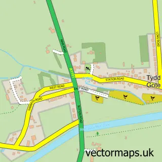
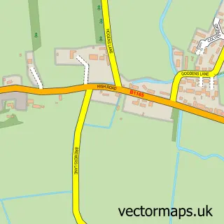
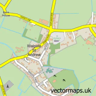
This Tydd St Mary street map is a detailed vector street map covering a 750m x 750m area. Select a larger area to create and download your own vector street map of Tydd St Mary.
The 750-metre map sample for Tydd St Mary covers 239 mapped buildings and approximately 9.3 km of road detail, of which 12 named roads are named. The immediate area includes 1 school. To create a larger or custom map of Tydd St Mary, the map builder lets you define your own coverage area and download editable SVG, PDF and PNG files.
Create a larger editable map of Tydd St Mary
Choose any area you need and generate a high-quality vector map instantly. Perfect for print, planning, design, business and personal use.

This Tydd St Mary street map in Lincolnshire is available as downloadable SVG, PDF and PNG map files, or as a printed map for planning, business, display, education, local information and design work. You can also create a larger custom map area using the map selector.
What this Tydd St Mary map sample shows
Tydd St Mary lies within Tydd St. Mary Cp parish, part of Long Sutton ward in the South Holland District local authority area. The postcode geography for this area includes the PE postcode area, the PE13 postcode district and the PE13 5 postcode sector. Residents fall under the Nhs Lincolnshire Integrated Care Board for NHS services.
Local features near Tydd St Mary
Within 2 milesAmenities and services in and around Tydd St Mary.
Administrative and postcode information for Tydd St Mary
Tydd St Mary lies within Tydd St. Mary Cp parish, part of Long Sutton ward in the South Holland District local authority area. The postcode geography for this area includes the PE postcode area, the PE13 postcode district and the PE13 5 postcode sector. Residents fall under the Nhs Lincolnshire Integrated Care Board for NHS services.
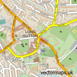
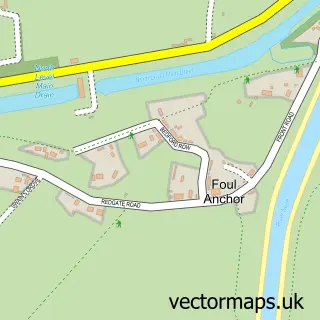
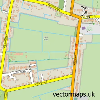
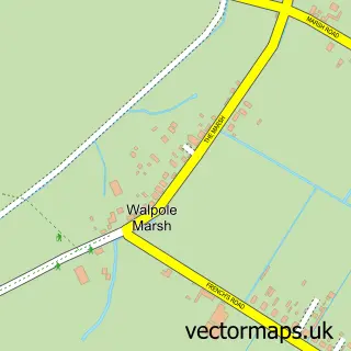
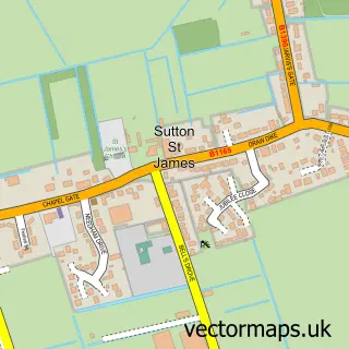
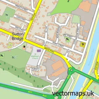
Nearby street map samples around Tydd St Mary

More street maps in Lincolnshire
750 metre map area coverage
Boundary, postcode and point of interest information for the 750m x 750m rectangle centred on this sample map.
Boundaries containing map centre
Constituency: South Holland and The Deepings Co Const
County: Lincolnshire County
District: South Holland District
Icb: NHS Lincolnshire ICB
Parish: Tydd St. Mary CP
Police Force: lincolnshire
Postcode District: PE13
Postcode Sector: PE13 5
Ward: Long Sutton Ward
Nearby boundaries intersecting sample
No additional intersecting boundaries found.
Postcode coverage
POI category counts
Advertising Agency: 1
Arts And Entertainment: 1
Convenience Store: 1
Elementary School: 1
Flowers And Gifts Shop: 1
Home Service: 1
Package Locker: 1
Professional Services: 1
Sporting Goods: 1
Sample points of interest
- M W Paperhandling Specialist
- Big Sky Arts
- Tydd St. Mary Stores
- Tydd St Mary C of E Primary School
- Chadwicks Flowers
- Tydd St Mary Preschool
- InPost
- Evri ParcelShop
- Just Guns
Create a larger editable map of Tydd St Mary
This sample shows only a 750 metre area. To create a larger map of Tydd St Mary, use our map builder to choose your own coverage area, add titles and download editable SVG, PDF and PNG files.
Create a custom map of Tydd St Mary