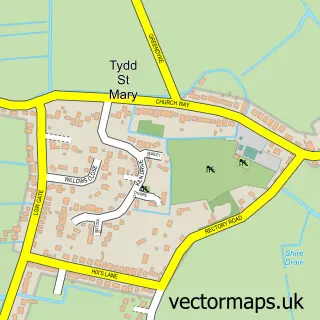
This Tydd Gote street map is a detailed vector street map covering a 750m x 750m area. Select a larger area to create and download your own vector street map of Tydd Gote.
The 750-metre map sample for Tydd Gote covers 149 mapped buildings and approximately 9.4 km of road detail, of which 7 named roads are named. The wider area around Tydd Gote features 1 food and drink venue. To create a larger or custom map of Tydd Gote, the map builder lets you define your own coverage area and download editable SVG, PDF and PNG files.
Create a larger editable map of Tydd Gote
Choose any area you need and generate a high-quality vector map instantly. Perfect for print, planning, design, business and personal use.

This Tydd Gote street map in Lincolnshire is available as downloadable SVG, PDF and PNG map files, or as a printed map for planning, business, display, education, local information and design work. You can also create a larger custom map area using the map selector.
What this Tydd Gote map sample shows
Tydd Gote lies within Tydd St. Mary Cp parish, part of Long Sutton ward in the South Holland District local authority area. The postcode geography for this area includes the PE postcode area, the PE13 postcode district and the PE13 5 postcode sector. Residents fall under the Nhs Lincolnshire Integrated Care Board for NHS services.
Local features near Tydd Gote
Within 2 milesAmenities and services in and around Tydd Gote.
Administrative and postcode information for Tydd Gote
Tydd Gote lies within Tydd St. Mary Cp parish, part of Long Sutton ward in the South Holland District local authority area. The postcode geography for this area includes the PE postcode area, the PE13 postcode district and the PE13 5 postcode sector. Residents fall under the Nhs Lincolnshire Integrated Care Board for NHS services.
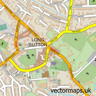
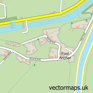
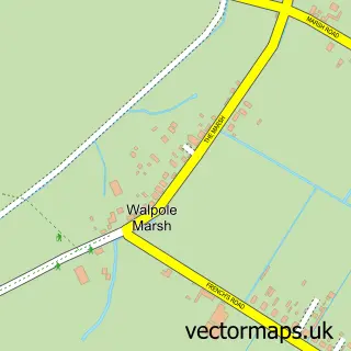
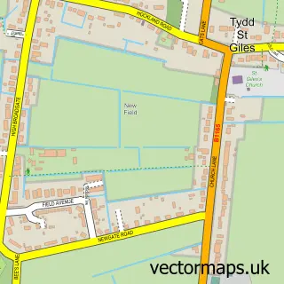
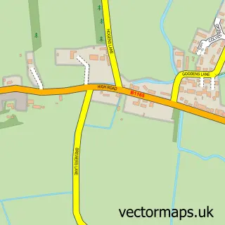
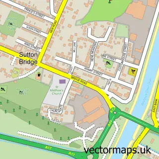
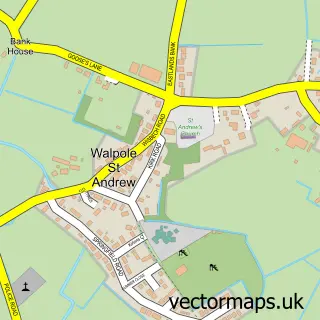
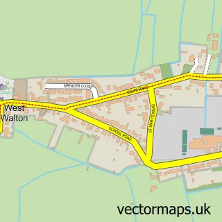
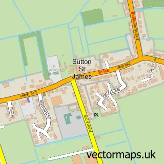
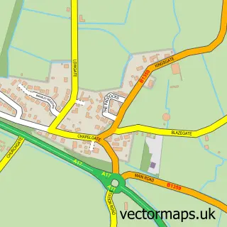
Nearby street map samples around Tydd Gote

More street maps in Lincolnshire
750 metre map area coverage
Boundary, postcode and point of interest information for the 750m x 750m rectangle centred on this sample map.
Boundaries containing map centre
Constituency: South Holland and The Deepings Co Const
County: Lincolnshire County
District: South Holland District
Icb: NHS Lincolnshire ICB
Parish: Tydd St. Mary CP
Police Force: lincolnshire
Postcode District: PE13
Postcode Sector: PE13 5
Ward: Long Sutton Ward
Nearby boundaries intersecting sample
Constituency: North East Cambridgeshire Co Const
County: Cambridgeshire County
District: Fenland District
Icb: NHS Central East ICB
Parish: Tydd St. Giles CP
Police Force: cambridgeshire
Ward: Leverington & Wisbech Rural Ward
Postcode coverage
POI category counts
Caterer: 2
Arts And Entertainment: 1
Bar: 1
Church Cathedral: 1
Engineering Services: 1
Fishing Club: 1
Rental Service: 1
Restaurant: 1
Sample points of interest
- Tydd Gote
- Tydd Gote Inn
- Apple & Hog
- Apple & Hog
- Fenlands Church
- Sampson International Machine Tools
- Tydd Gote Angling Club
- Fast Forms Systems
- Mehmaan Restaurant
Create a larger editable map of Tydd Gote
This sample shows only a 750 metre area. To create a larger map of Tydd Gote, use our map builder to choose your own coverage area, add titles and download editable SVG, PDF and PNG files.
Create a custom map of Tydd Gote