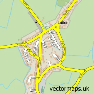
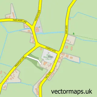
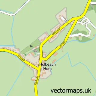
This Long Sutton street map is a detailed vector street map covering a 750m x 750m area. Select a larger area to create and download your own vector street map of Long Sutton.
The 750-metre map sample for Long Sutton covers 510 mapped buildings and approximately 15.4 km of road detail, of which 32 named roads are named. The immediate area includes 1 GP surgery, 4 pubs and 3 MOT stations within 2 miles. The wider area around Long Sutton features 6 food and drink venues and 1 campsite within 2 miles. To create a larger or custom map of Long Sutton, the map builder lets you define your own coverage area and download editable SVG, PDF and PNG files.
Create a larger editable map of Long Sutton
Choose any area you need and generate a high-quality vector map instantly. Perfect for print, planning, design, business and personal use.

This Long Sutton street map in Lincolnshire is available as downloadable SVG, PDF and PNG map files, or as a printed map for planning, business, display, education, local information and design work. You can also create a larger custom map area using the map selector.
What this Long Sutton map sample shows
Long Sutton lies within Long Sutton Cp parish, part of Long Sutton ward in the South Holland District local authority area. The postcode geography for this area includes the PE postcode area, the PE12 postcode district and the PE12 9 postcode sector. Residents fall under the Nhs Lincolnshire Integrated Care Board for NHS services.
Local features near Long Sutton
Within 2 milesAmenities and services in and around Long Sutton.
Administrative and postcode information for Long Sutton
The local authority covering Long Sutton is South Holland District, within the county of Lincolnshire. The settlement lies within Long Sutton ward and Long Sutton Cp civil parish. The PE12 postcode district and PE12 9 postcode sector serve the immediate area. NHS provision in the area is delivered through The Queen Elizabeth Hospital, King's Lynn, Nhs Foundation Trust.
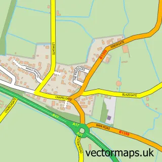
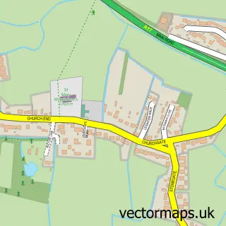
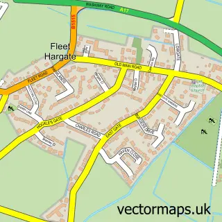
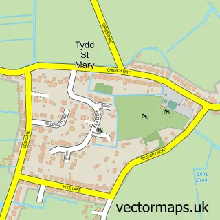
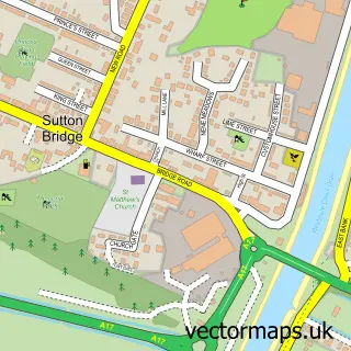
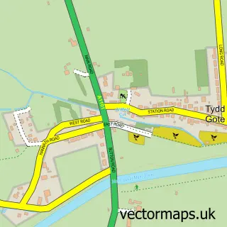
Nearby street map samples around Long Sutton

More street maps in Lincolnshire
750 metre map area coverage
Boundary, postcode and point of interest information for the 750m x 750m rectangle centred on this sample map.
Boundaries containing map centre
Constituency: South Holland and The Deepings Co Const
County: Lincolnshire County
District: South Holland District
Icb: NHS Lincolnshire ICB
Parish: Long Sutton CP
Police Force: lincolnshire
Postcode District: PE12
Postcode Sector: PE12 9
Ward: Long Sutton Ward
Nearby boundaries intersecting sample
No additional intersecting boundaries found.
Postcode coverage
POI category counts
Gas Station: 5
Convenience Store: 4
Doctor: 4
Fast Food Restaurant: 4
Pub: 4
Banks: 3
Barber: 3
Carpenter: 3
Fish And Chips Restaurant: 3
Funeral Services And Cemeteries: 3
Sample points of interest
- Long Sutton St Mary
- St Mary's, Long Sutton
- Old Barn Antiques ltd
- Sew last year
- Yarn Shack
- Kimberley Care Village
- Exchange Garage
- BP Auto Repairs
- J M L Henderson
- TSB Bank - Pop-Up Location
- Barclays
- NatWest Mobile Branch
Create a larger editable map of Long Sutton
This sample shows only a 750 metre area. To create a larger map of Long Sutton, use our map builder to choose your own coverage area, add titles and download editable SVG, PDF and PNG files.
Create a custom map of Long Sutton