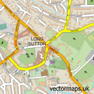
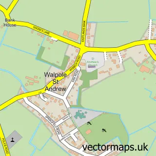
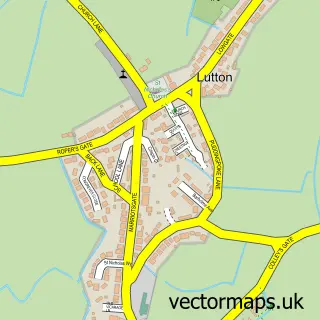
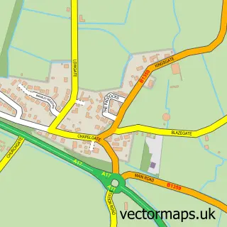
This Sutton Bridge street map is a detailed vector street map covering a 750m x 750m area. Select a larger area to create and download your own vector street map of Sutton Bridge.
The 750-metre map sample for Sutton Bridge covers 316 mapped buildings and approximately 21.6 km of road detail, of which 17 named roads are named. The immediate area includes 1 pub and 2 MOT stations within 2 miles. The wider area around Sutton Bridge features 1 tourism point of interest, 3 food and drink venues and 1 hotel. To create a larger or custom map of Sutton Bridge, the map builder lets you define your own coverage area and download editable SVG, PDF and PNG files.
Create a larger editable map of Sutton Bridge
Choose any area you need and generate a high-quality vector map instantly. Perfect for print, planning, design, business and personal use.

This Sutton Bridge street map in Lincolnshire is available as downloadable SVG, PDF and PNG map files, or as a printed map for planning, business, display, education, local information and design work. You can also create a larger custom map area using the map selector.
What this Sutton Bridge map sample shows
Sutton Bridge lies within Sutton Bridge Cp parish, part of Sutton Bridge ward in the South Holland District local authority area. The postcode geography for this area includes the PE postcode area, the PE12 postcode district and the PE12 9 postcode sector. Residents fall under the Nhs Lincolnshire Integrated Care Board for NHS services.
Local features near Sutton Bridge
Within 2 milesAmenities and services in and around Sutton Bridge.
Administrative and postcode information for Sutton Bridge
The local authority covering Sutton Bridge is South Holland District, within the county of Lincolnshire. The settlement lies within Sutton Bridge ward and Sutton Bridge Cp civil parish. The PE12 postcode district and PE12 9 postcode sector serve the immediate area. NHS provision in the area is delivered through The Queen Elizabeth Hospital, King's Lynn, Nhs Foundation Trust.
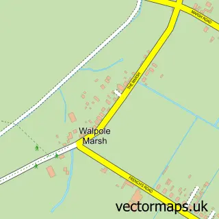
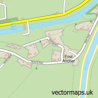
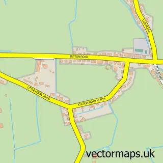
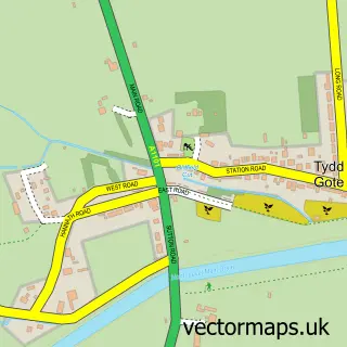
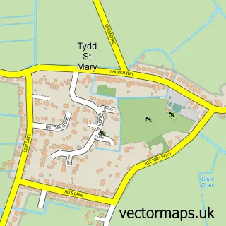
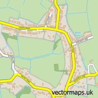
Nearby street map samples around Sutton Bridge

More street maps in Lincolnshire
750 metre map area coverage
Boundary, postcode and point of interest information for the 750m x 750m rectangle centred on this sample map.
Boundaries containing map centre
Constituency: South Holland and The Deepings Co Const
County: Lincolnshire County
District: South Holland District
Icb: NHS Lincolnshire ICB
Parish: Sutton Bridge CP
Police Force: lincolnshire
Postcode District: PE12
Postcode Sector: PE12 9
Ward: Sutton Bridge Ward
Nearby boundaries intersecting sample
No additional intersecting boundaries found.
Postcode coverage
POI category counts
Beauty Salon: 6
Convenience Store: 5
Korean Grocery Store: 4
Package Locker: 3
Antique Store: 2
Bakery: 2
Building Supply Store: 2
Chiropractor: 2
Church Cathedral: 2
Coffee Shop: 2
Sample points of interest
- Old Barn Antiques
- The Antique Shop
- Lincolnshire Co-op - Sutton Bridge (Int), Sutton Bridge
- SB alloys
- Sabrina's Sweet Delights
- Smiths the Bakers
- The Boathouse
- Riverside Bar and Restaurant
- Bridge Barbers
- Serenity
- As skin clinic
- Bliss Hairdressing
Create a larger editable map of Sutton Bridge
This sample shows only a 750 metre area. To create a larger map of Sutton Bridge, use our map builder to choose your own coverage area, add titles and download editable SVG, PDF and PNG files.
Create a custom map of Sutton Bridge